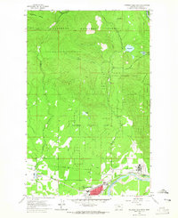
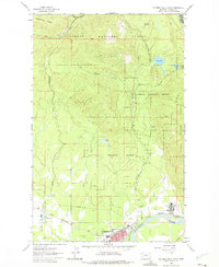
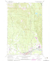
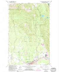
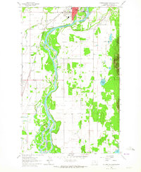
1962 Map of Columbia Falls North
USGS Topo · Published 1965About this map
The North Fork Flathead River carves the landscape of this 1962 survey, where the river's bend defines the northern reaches of Columbia Falls. This area serves as a transitional gateway between the industrial activity at the Aluminum Plant and the protected wilderness of the Flathead National Forest. The tracks of the Great Northern Railroad provide a vital horizontal link through the southern settlements of Halfmoon and Conkelley, reflecting the region's reliance on rail transport for both freight and workers.
Find a feature on this map
28 named features on this map. Tap any name to fly to it.
Don’t see what you’re looking for? This feature index may not catch every label — zoom into the map to look around manually.
Map Details
Editions of this 1962 Columbia Falls North Map
4 editions found
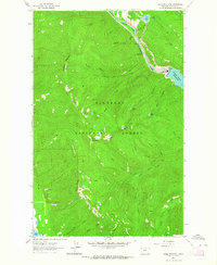
Other maps of this area

1906 · Kintla Lakes
USGS Topo · 1:125,000

1938 · Kintla Lakes
USGS Topo · 1:125,000

1943 · Kalispell
USGS Topo · 1:125,000

1957 · Kalispell
USGS Topo · 1:250,000

1960 · Kalispell
USGS Topo · 1:250,000

1961 · Kalispell
USGS Topo · 1:250,000
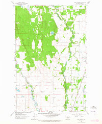
1962 · Columbia Falls South
USGS Topo · 1:24,000
1962 · Doris Mountain
USGS Topo · 1:24,000
1962 · Rose Crossing
USGS Topo · 1:24,000
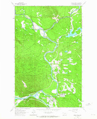
1962 · Hungry Horse
USGS Topo · 1:24,000