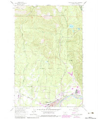
1962 Map of Columbia Falls North
USGS Topo · Published 1983About this map
Columbia Falls sits at the southern edge of this map, where the industrial presence of an Aluminum Plant and Substation at Conkelley highlights the mid-century intersection of heavy industry and Montana's natural resource corridor. The Burlington Northern railroad follows the curve of the Flathead River, serving as the primary transportation artery through the gateway of the Flathead National Forest.
Find a feature on this map
28 named features on this map. Tap any name to fly to it.
Don’t see what you’re looking for? This feature index may not catch every label — zoom into the map to look around manually.
Map Details
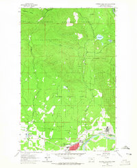
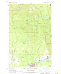
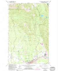
Editions of this 1962 Columbia Falls North Map
4 editions found
Other maps of this area

1906 · Kintla Lakes
USGS Topo · 1:125,000

1938 · Kintla Lakes
USGS Topo · 1:125,000

1943 · Kalispell
USGS Topo · 1:125,000

1957 · Kalispell
USGS Topo · 1:250,000

1960 · Kalispell
USGS Topo · 1:250,000

1961 · Kalispell
USGS Topo · 1:250,000

1962 · Columbia Falls South
USGS Topo · 1:24,000

1962 · Doris Mountain
USGS Topo · 1:24,000

1962 · Rose Crossing
USGS Topo · 1:24,000

1962 · Hungry Horse
USGS Topo · 1:24,000