Old Maps of Ozan, Montana for Metal Detecting
Plan your next treasure hunt with 14 historic maps of Ozan. Find old homesites, ghost towns, trails, and gathering spots that may be lost to time — perfect for identifying promising metal detecting locations.
- Locate forgotten sites: Uncover places like long-lost settlements, abandoned rail lines, or gathering spots.
- Plan better hunts: Use map overlays combined with LiDAR or satellite views to narrow in on historically rich areas.
- Made for detectorists: Thousands of hobbyists use these maps to discover relics, coins, and hidden history.
Use these historic maps to boost your research and find new opportunities beneath the surface of Ozan.
Ozan, MT maps
(14)- 1919 Map of Drummond, 1958 Print
 1919 Drummond1958 Print · USGSGranite and Powell counties were at the height of their rail-and-ranching era in the years following the Great War. Researchers can trace the dual paths of the Northern Pacific railroad through Drummond or locate long-standing landmarks like New Chicago and the Sugarloaf School.2 unique versions available
 - 1921 Map of Drummond
 1921 Drummond1921 Print · USGSGranite and Missoula counties are seen here in the years following the Great War, as mining camps and valley ranches defined the local economy. Genealogists can trace family homesteads like Williams Ranch or locate rural landmarks including Sunset School and Garnet.3 unique versions available
 - 1947 Map of Butte, 1949 Print
 1947 Butte1949 Print · USGSWestern Montana at the peak of its rail-and-river era shows the vital connections between the mining and industrial centers of Butte and Helena. Researchers can trace the three major railroad lines serving mountain settlements like Garrison, Philipsburg, and Warm Springs.2 unique versions available
 - 1958 Map of Butte
 1958 Butte1958 Print · USGSWestern Montana's mining and rail corridors are captured in the late fifties, from the urban bustle of the Copper King cities to high mountain passes. Researchers can trace the path of the Milwaukee St Paul and Pacific through Deer Lodge and locate remote outposts like Potomac Post Office.5 unique versions available
 - 1958 Map of Drummond, 1960 Print
 1958 Drummond1960 Print · USGSDrummond and the surrounding Clark Fork valley are captured here in the late fifties, showcasing a critical Montana rail and river corridor. Genealogists and rail historians can trace the paths of the Northern Pacific through settlements like New Chicago and Hall.3 unique versions available
 - 1960 Map of Butte
 1960 Butte1960 Print · USGSWestern Montana at the dawn of the sixties is defined by its industrial mining hubs and the railroads that connect them. Genealogists and historians can trace the routes of the Milwaukee Road through Butte or locate smaller settlements like Southern Cross and Bearmouth.
 - 1962 Map of Butte
 1962 Butte1962 Print · USGSWestern Montana in the early sixties remains a landscape of industrial muscle and high-mountain passes. Trace the rail lines of the Northern Pacific through Deer Lodge and the mining history around Anaconda and Philipsburg.
 - 1984 Map of Missoula East
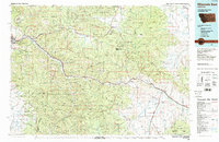 1984 Missoula East1984 Print · USGSThe Clark Fork valley and the Garnet Range are shown here in the mid-1980s as the region's timber and rail heritage remained prominent. Researchers can trace the Burlington Northern line and locate old mining sites like Garnet and the Copper Cliff Mine.
 - 1989 Map of Drummond
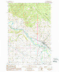 1989 Drummond1989 Print · USGSThe Clark Fork valley in the late 1980s shows a landscape of mountain gulches and river-bottom agriculture. Researchers can trace historic transport routes like the Old Railroad Grade and locate settlements at Drummond and New Chicago.
 - 2011 Map of Drummond, 2011 Print
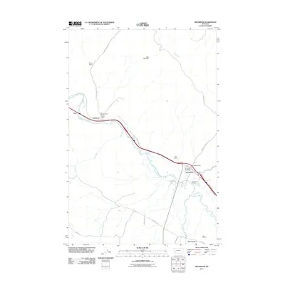 2011 Drummond2011 Print · USGSCovers Ozan, including Drummond, New Chicago, and other nearby areas
 - 2014 Map of Drummond, 2014 Print
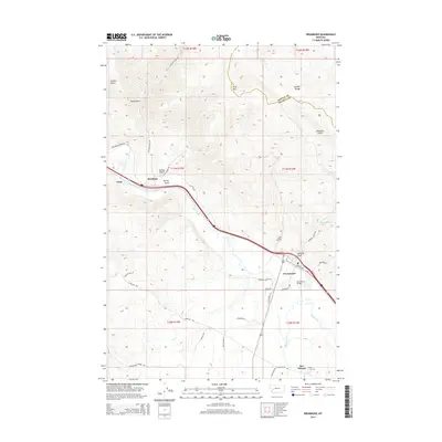 2014 Drummond2014 Print · USGSCovers Ozan, including Drummond, New Chicago, and other nearby areas
 - 2017 Map of Drummond, 2017 Print
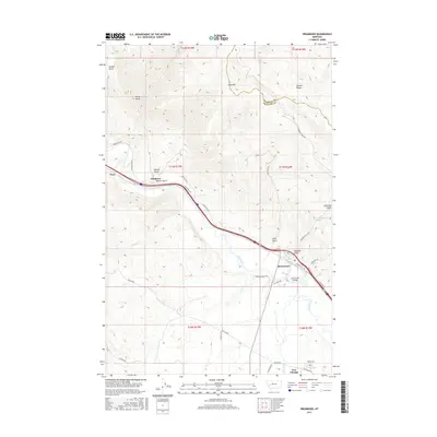 2017 Drummond2017 Print · USGSCovers Ozan, including Drummond, New Chicago, and other nearby areas
 - 2020 Map of Drummond, 2020 Print
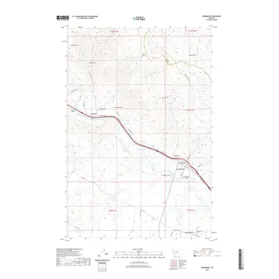 2020 Drummond2020 Print · USGSCovers Ozan, including Drummond, New Chicago, and other nearby areas
 - 2024 Map of Drummond, 2024 Print
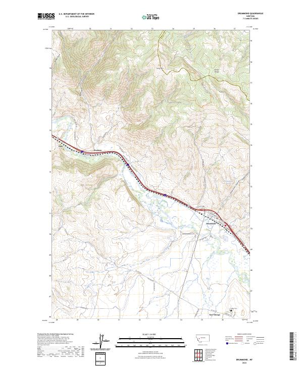 2024 Drummond2024 Print · USGSThe Clark Fork valley and the foothills of the Garnet Range come alive in this contemporary record of Granite County. Genealogists and historians can trace the legacy of New Chicago, locate the Valley Cem, and follow the historic Mullan Rd.
End of results
Showing maps 1-14 of 14
Top cities near Ozan
Frequently asked questions
- What are the different types of historical maps available for Ozan?
- What is the oldest map of Ozan?
- Where can I purchase historical maps of Ozan for my home or office?
- Where can I download high-res historical maps of Ozan?
- Are there historical topographic maps available for Ozan?
- Is there historical aerial imagery available for Ozan?
- Where are historical maps of Ozan sourced from?