Old Maps of Beaver Creek, Montana
Explore 12 old maps of Beaver Creek, spanning from 1904 to today. These high-resolution historic maps reveal how streets, neighborhoods, landmarks, and natural features evolved over time — perfect for genealogy, metal detecting, research, and local history exploration.
What you can do with these maps:
- See how Beaver Creek changed over time: Compare historical maps to modern-day views to trace roads, homesites, rail lines & more.
- View detailed metadata: Each map includes creators, publishers, year, scale, and archive source.
- Overlay maps with satellite & LiDAR: Visualize the past alongside modern tools to explore terrain & human change.
- Trusted historical sources: Maps sourced from the USGS, Library of Congress, and other archives.
- Access maps your way: View online, download high-res files, or order prints for personal or research use.
Start exploring old maps of Beaver Creek to uncover forgotten places, hidden landmarks, and the deep history beneath your feet.
Beaver Creek, MT maps
(12)- 1904 Map of Assinniboine
 1904 Assinniboine1904 Print · USGSNorthern Montana ranching and military life are captured here at the start of the century, centered on the Milk River valley. Researchers can trace the layout of Fort Assinniboine and find family-named landmarks like Meili Ranch or Kelleys Ranch.2 unique versions available
 - 1912 Map of Thibedeau Lake
 1912 Thibedeau Lake1912 Print · USGSNorthern Montana's ranching frontier and rail corridors are captured here just after the turn of the century. Genealogists and historians can trace the early foundations of Havre and Fort Assinniboine, alongside family landmarks like Lohman's Ranch and Connolly Ranch.
 - 1953 Map of Havre, 1967 Print
 1953 Havre1967 Print · USGSNorthern Montana’s Hi-Line comes into focus in the mid-fifties, centered on the Milk River and the critical Great Northern rail link. Genealogists can trace small sidings and settlements like Assinniboine, Laredo, and Box Elder alongside the Fort Belknap Agency.3 unique versions available
 - 1957 Map of Havre
 1957 Havre1957 Print · USGSNorth-central Montana at the mid-century is defined by the vital Great Northern rail corridor and the winding Milk River. Researchers can trace old settlements like Laredo and Savoy, or locate historic sites such as the Hays (old) Sub Agency and the Chinook No 1 mine.
 - 1958 Map of Havre
 1958 Havre1958 Print · USGSUpper Montana in the late fifties was a landscape of remote rail towns and vast high-plain ranges. Genealogists and historians can trace the Great Northern railroad through Havre, Chinook, and the Fort Belknap Indian Reservation.
 - 1970 Map of Herron Park, 1973 Print
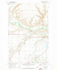 1970 Herron Park1973 Print · USGSNorth-central Montana in the early seventies reveals a landscape of river-valley agriculture and emerging energy fields. Researchers can trace the Agricultural Experiment Station or explore the rail hubs at Pacific Junction and Burnham.2 unique versions available
 - 1984 Map of Havre
 1984 Havre1984 Print · USGSThe Milk River valley and the northern high plains come into focus in the mid-1980s, detailing a landscape defined by rail, ranching, and water management. Trace the path of the Burlington Northern through Havre and Chinook, or locate sites like the Havre Air Force Station and Hilldale Colony.
 - 2011 Map of Herron Park, 2011 Print
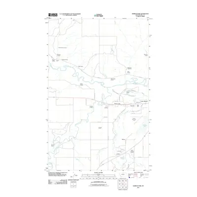 2011 Herron Park2011 Print · USGSHill County ranchlands and river breaks come into focus in this contemporary Montana survey. Genealogists and local historians can trace the developments around Beaver Creek, Pacific Junction, and the Tiger Ridge Gas Field as they appeared a decade ago.
 - 2014 Map of Herron Park, 2014 Print
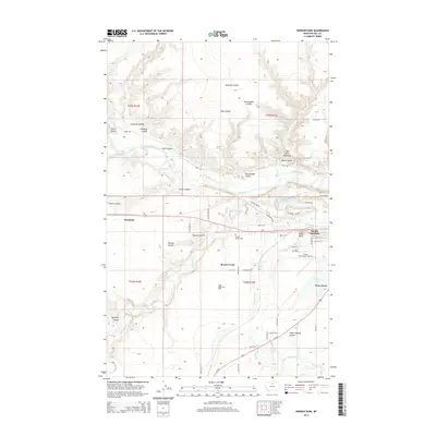 2014 Herron Park2014 Print · USGSHill County, Montana, at the start of the twenty-first century reveals a landscape defined by the winding Milk River and vital transport corridors. Researchers can trace the path of the BNSF Railway, explore the Milk River Badlands, and locate local landmarks like Pacific Junction and Burnham.
 - 2017 Map of Herron Park, 2017 Print
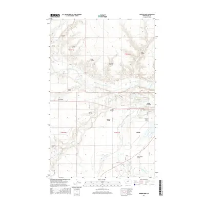 2017 Herron Park2017 Print · USGSHill County, Montana, is captured in the late 2010s, showcasing the winding Milk River valley and its agricultural infrastructure. Researchers can trace the layout of Burnham and Pacific Junction or locate landmarks like Black Butte and the Meill Ditch.
 - 2020 Map of Herron Park, 2020 Print
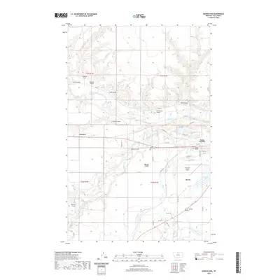 2020 Herron Park2020 Print · USGSHill County, Montana, is documented here in the early twenty-first century as the high plains terrain meets the managed waters of the Milk River. Researchers can trace the layout of Pacific Junction, the Havre City-County Airport, and family-named landmarks like Duncan Coulee.
 - 2024 Map of Herron Park, 2024 Print
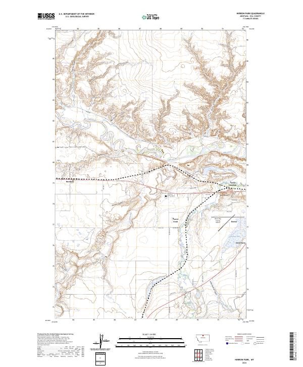 2024 Herron Park2024 Print · USGSHill County at the start of the 2020s shows a landscape shaped by the Milk River and the vital irrigation networks of the Montana high plains. Trace the historical growth of West Havre and Pacific Junction, or locate landmarks like Black Butte and the Havre City-County Airport.
End of results
Showing maps 1-12 of 12
Top cities near Beaver Creek
Frequently asked questions
- What are the different types of historical maps available for Beaver Creek?
- What is the oldest map of Beaver Creek?
- Where can I purchase historical maps of Beaver Creek for my home or office?
- Where can I download high-res historical maps of Beaver Creek?
- Are there historical topographic maps available for Beaver Creek?
- Is there historical aerial imagery available for Beaver Creek?
- Where are historical maps of Beaver Creek sourced from?