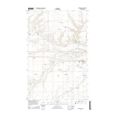
2014 Map of Herron Park
USGS Topo · Published 2014About this map
The Milk River carves a complex path through this northern Montana landscape, defined by dramatic erosion in the Milk River Badlands. This region south of the Canadian border shows a landscape shaped by both natural drainage and human irrigation, with the Meili Ditch and Havre Irrigation Ditch drawing water toward agricultural plots. Transport and energy infrastructure dominate the southern half of the map, where the BNSF Railway and US Highway 2 parallel the river, connecting small settlements like Burnham and Pacific Junction.
Find a feature on this map
58 named features on this map. Tap any name to fly to it.
Don’t see what you’re looking for? This feature index may not catch every label — zoom into the map to look around manually.
Map Details
Editions of this 2014 Herron Park Map
This is the sole edition of this map. No revisions or reprints were ever made.
Other maps of this area

1904 · Havre
USGS Topo · 1:62,500

1904 · Assinniboine
USGS Topo · 1:62,500

1912 · Thibedeau Lake
USGS Topo · 1:125,000

1953 · Havre
USGS Topo · 1:250,000

1957 · Havre
USGS Topo · 1:250,000

1958 · Havre
USGS Topo · 1:250,000

1959 · Laredo
USGS Topo · 1:62,500

1959 · Shambo
USGS Topo · 1:62,500

1964 · Havre NW
USGS Topo · 1:24,000

1964 · Havre
USGS Topo · 1:24,000