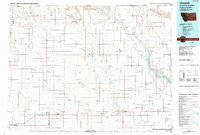
Old Maps of Cool Spring Hutterite Colony, Montana
Explore 10 old maps of Cool Spring Hutterite Colony, spanning from 1919 to today. These high-resolution historic maps reveal how streets, neighborhoods, landmarks, and natural features evolved over time — perfect for genealogy, metal detecting, research, and local history exploration.
What you can do with these maps:
- See how Cool Spring Hutterite Colony changed over time: Compare historical maps to modern-day views to trace roads, homesites, rail lines & more.
- View detailed metadata: Each map includes creators, publishers, year, scale, and archive source.
- Overlay maps with satellite & LiDAR: Visualize the past alongside modern tools to explore terrain & human change.
- Trusted historical sources: Maps sourced from the USGS, Library of Congress, and other archives.
- Access maps your way: View online, download high-res files, or order prints for personal or research use.
Start exploring old maps of Cool Spring Hutterite Colony to uncover forgotten places, hidden landmarks, and the deep history beneath your feet.
Cool Spring Hutterite Colony, MT maps
(10)- 1919 Map of Alma
 1919 Alma1919 Print · USGSNorthern Montana’s borderlands are captured here during the homesteading era, when the railroad drove the birth of new prairie towns. Genealogists and historians can trace the early layout of Joplin, Rudyard, and the Goldstone P.O. along the Great Northern R. R.
 - 1954 Map of Shelby, 1967 Print
 1954 Shelby1967 Print · USGSNorthern Montana's Hi-Line is captured in the mid-fifties, showing a landscape shaped by the Great Northern rail and early oil development. Trace family roots in Shelby and Conrad, or locate rural landmarks like Goose Bill Butte and the Rocky Boys Indian Reservation.3 unique versions available
 - 1958 Map of Shelby
 1958 Shelby1958 Print · USGSNorthern Montana’s high plains and the Sweetgrass Hills come to life in the late fifties as the Tiber Dam begins to reshape the Marias River valley. Genealogists and historians can trace rail-town lineages along the Great Northern line and locate sites like the Hull Coal Mine or Sweet Grass.
 - 1972 Map of Mc Kinnsey Reservoir West, 1975 Print
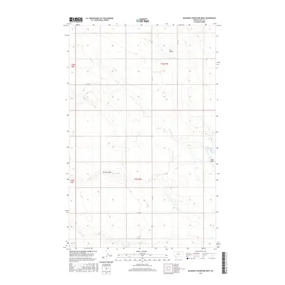
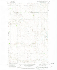 1972 Mc Kinnsey Reservoir West1975 Print · USGSHill County farming life in the early seventies centers on remote prairie townships and the vital water of Sage Creek. Researchers can locate community anchors like Goldstone Ch, the Oreana Sch, and the high point of Black Butte near the reservoir.
 - 1984 Map of Chester
 1984 Chester1984 Print · USGSNorthern Montana's High Line region is documented here in the mid-eighties, showing the vital rail-and-river network along the Canadian border. Genealogists can trace the string of prairie towns from Chester to Gildford or locate specific sites like the Sage Creek Colony and Fresno Reservoir.
 - 2011 Map of McKinnsey Reservoir West, 2011 Print
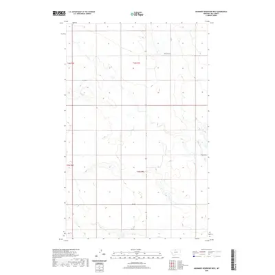
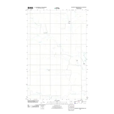 2011 McKinnsey Reservoir West2011 Print · USGSCovers Cool Spring Hutterite Colony, including Hill County, United States, and other nearby areas
 - 2014 Map of McKinnsey Reservoir West, 2014 Print
 2014 McKinnsey Reservoir West2014 Print · USGSCovers Cool Spring Hutterite Colony, including Hill County, United States, and other nearby areas
 - 2017 Map of McKinnsey Reservoir West, 2017 Print
 2017 McKinnsey Reservoir West2017 Print · USGSCovers Cool Spring Hutterite Colony, including Hill County, United States, and other nearby areas
 - 2020 Map of McKinnsey Reservoir West, 2020 Print
 2020 McKinnsey Reservoir West2020 Print · USGSCovers Cool Spring Hutterite Colony, including Hill County, United States, and other nearby areas
 - 2024 Map of McKinnsey Reservoir West, 2024 Print
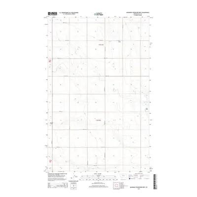
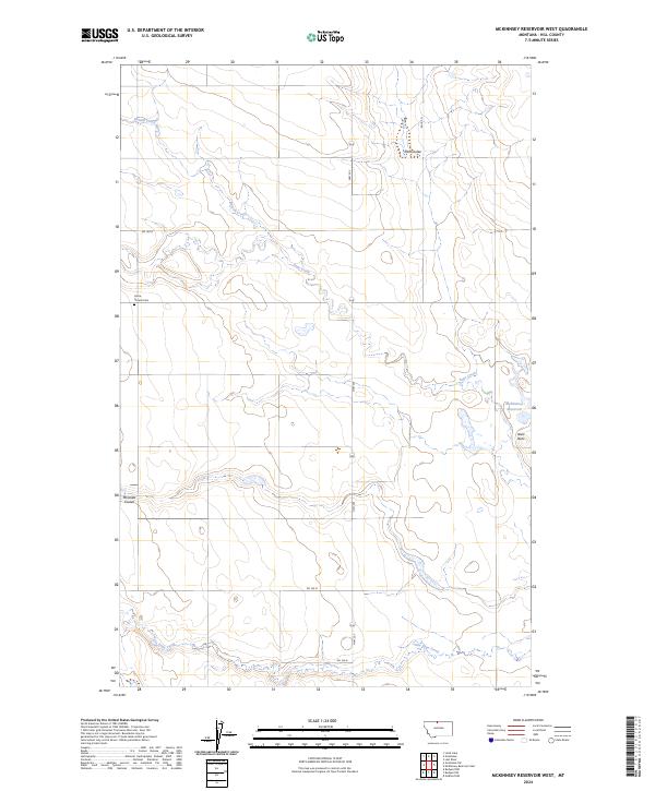 2024 McKinnsey Reservoir West2024 Print · USGSHill County prairie land is mapped here during the early twenty-first century, showcasing the intersection of grazing land and water management. Genealogists and local historians can locate the Grace Church Cem and trace the paths of Sage Creek and Russell Creek.
End of results
Showing maps 1-10 of 10
Top cities near Cool Spring Hutterite Colony
Frequently asked questions
- What are the different types of historical maps available for Cool Spring Hutterite Colony?
- What is the oldest map of Cool Spring Hutterite Colony?
- Where can I purchase historical maps of Cool Spring Hutterite Colony for my home or office?
- Where can I download high-res historical maps of Cool Spring Hutterite Colony?
- Are there historical topographic maps available for Cool Spring Hutterite Colony?
- Is there historical aerial imagery available for Cool Spring Hutterite Colony?
- Where are historical maps of Cool Spring Hutterite Colony sourced from?