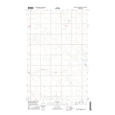
2017 Map of McKinnsey Reservoir West
USGS Topo · Published 2017About this map
McKinnsey Reservoir and the prominent rising of Black Butte define this portion of Hill County, Montana. The landscape is marked by the distinct drainage patterns of Flat Coulee and Miranda Coulee, which cut through the high plains toward Sage Cr and Russell Cr. This 2017 survey by the U.S. Geological Survey illustrates a modern agricultural and ranching environment structured by the Public Land Survey System, with township and range lines like t36n r9e and t35n r8e dictating the placement of rural roads. A sparse network of county routes, including Rd 190 N and Hwy 255, connects the isolated sections of this northern Montana terrain, reflecting the expansive scale of land management in the region.
Find a feature on this map
15 named features on this map. Tap any name to fly to it.
Don’t see what you’re looking for? This feature index may not catch every label — zoom into the map to look around manually.
Map Details
Editions of this 2017 McKinnsey Reservoir West Map
This is the sole edition of this map. No revisions or reprints were ever made.
Other maps of this area

1919 · Alma
USGS Topo · 1:125,000

1920 · Gildford
USGS Topo · 1:125,000

1943 · Gildford
USGS Topo · 1:125,000

1954 · Shelby
USGS Topo · 1:250,000

1958 · Shelby
USGS Topo · 1:250,000

1969 · Gildford NW
USGS Topo · 1:24,000

1972 · Goldstone SW
USGS Topo · 1:24,000

1972 · Rudyard NW
USGS Topo · 1:24,000

1972 · Mc Kinnsey Reservoir East
USGS Topo · 1:24,000

1972 · Mc Kinnsey Reservoir West
USGS Topo · 1:24,000