
1972 Map of Mc Kinnsey Reservoir East
USGS Topo · Published 1975About this map
The agrarian landscape of Hill County unfolds across this 1970s topographic study, where drainage systems like Little Sage Creek and the long reach of Ninemile Coulee define the north-central Montana terrain. The local infrastructure of the era is marked by isolated landmarks such as the Mariner Sch and several Storage Bins scattered near section lines, reflecting the rural township's focus on grain production and ranching.
Find a feature on this map
11 named features on this map. Tap any name to fly to it.
Don’t see what you’re looking for? This feature index may not catch every label — zoom into the map to look around manually.
Map Details
Editions of this 1972 Mc Kinnsey Reservoir East Map
This is the sole edition of this map. No revisions or reprints were ever made.
Other maps of this area

1919 · Alma
USGS Topo · 1:125,000

1920 · Gildford
USGS Topo · 1:125,000

1943 · Gildford
USGS Topo · 1:125,000

1954 · Shelby
USGS Topo · 1:250,000

1958 · Shelby
USGS Topo · 1:250,000

1969 · Gildford NE
USGS Topo · 1:24,000

1969 · Gildford NW
USGS Topo · 1:24,000
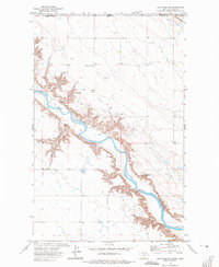
1972 · Lost River NE
USGS Topo · 1:24,000

1972 · Mc Kinnsey Reservoir West
USGS Topo · 1:24,000
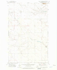
1972 · Ninemile Coulee West
USGS Topo · 1:24,000