
1969 Map of Gildford NE
USGS Topo · Published 1972About this map
Burkhartsmeyer Reservoir sits on the western edge of this Hill County landscape, a vital water source in a region defined by its wide, semi-arid drainage patterns. Surveyed in the late 1960s, the terrain is shaped by a network of seasonal watercourses including Sage Creek, O'Brien Coulee, and Alkali Coulee, which cut through the northern plains. The presence of numerous Storage Bins scattered across the township grid underscores the area's agricultural focus during this era. Industrial activity is represented by localized features such as a Gas Well and a Gravel Pit, while natural depressions like Dry Lake reflect the fluctuating hydrology of the Montana high plains. This map provides a detailed look at the rural infrastructure and land management practices at the close of the 1960s.
Find a feature on this map
10 named features on this map. Tap any name to fly to it.
Don’t see what you’re looking for? This feature index may not catch every label — zoom into the map to look around manually.
Map Details
Editions of this 1969 Gildford NE Map
This is the sole edition of this map. No revisions or reprints were ever made.
Other maps of this area

1906 · Kremlin
USGS Topo · 1:62,500

1920 · Gildford
USGS Topo · 1:125,000

1943 · Gildford
USGS Topo · 1:125,000

1954 · Shelby
USGS Topo · 1:250,000

1958 · Shelby
USGS Topo · 1:250,000
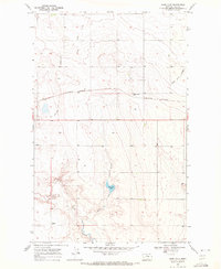
1969 · Sage Lake
USGS Topo · 1:24,000

1969 · Gildford NW
USGS Topo · 1:24,000

1969 · Hingham
USGS Topo · 1:24,000
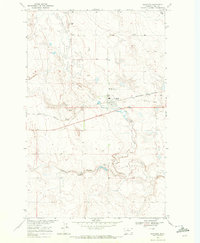
1969 · Gildford
USGS Topo · 1:24,000
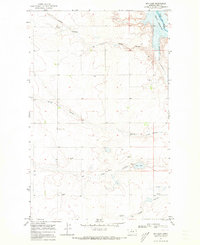
1969 · Dry Lake
USGS Topo · 1:24,000