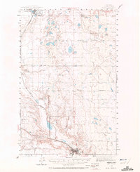
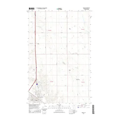
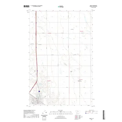
1958 Map of Shelby
USGS Topo · Published 1958About this map
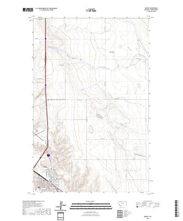
The Marias River and the newly forming Tiber Reservoir anchor this mid-century look at Northern Montana, where the Tiber Dam was still under development. Stretching from the Canadian border at Sweet Grass down toward the Missouri River, the landscape is defined by the high prominence of the Sweetgrass Hills, including West Butte and East Butte. The regional economy is clearly visible through the Great Northern railroad corridor, which links a string of prairie towns such as Shelby, Chester, and Joplin. Subsurface interests are also prominent, with the Utopia Oil and Gas Field and the Hull Coal Mine marking the industrial footprint of the era. To the east, the western edge of the Rocky Boy Indian Reservation and the wide expanse of the Lonesome Prairie show the rural character of the land before modern irrigation and interstate development fully reshaped the high plains.
Find a feature on this map
66 named features on this map. Tap any name to fly to it.
Don’t see what you’re looking for? This feature index may not catch every label — zoom into the map to look around manually.
Map Details
Editions of this 1958 Shelby Map
This is the sole edition of this map. No revisions or reprints were ever made.
Historical Maps of Shelby Through Time
9 maps found