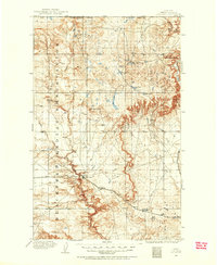
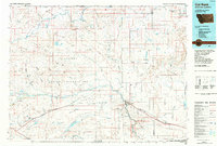
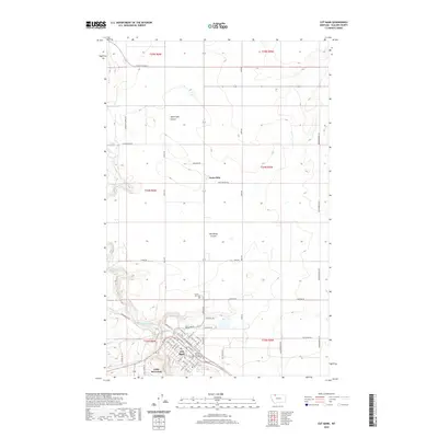
1909 Map of Cut Bank
USGS Topo · Published 1955About this map
Blackfeet Indian Reservation occupies the western half of this northern Montana landscape, defined by a series of dramatic coulees and buttes. Surveyed shortly after the turn of the century, the map illustrates a critical corridor for the Great Northern railroad, which follows the winding course of Cut Bank Creek. This railway infrastructure was the lifeline for small prairie settlements like Cut Bank, Baltic, and Ethridge, which are spaced along the tracks to serve the surrounding ranching and dry-land farming interests.
Find a feature on this map
26 named features on this map. Tap any name to fly to it.
Don’t see what you’re looking for? This feature index may not catch every label — zoom into the map to look around manually.
Map Details
Editions of this 1909 Cut Bank Map
This is the sole edition of this map. No revisions or reprints were ever made.
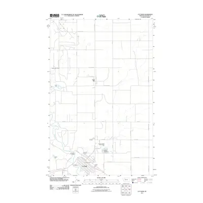
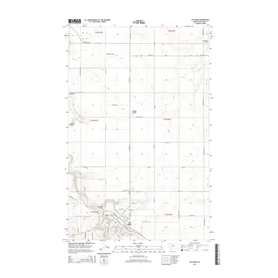
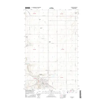
Historical Maps of Cut Bank Through Time
12 maps found
1909 Cut Bank
Glacier County, MT
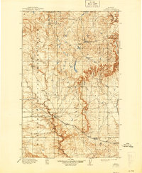
1912 Cut Bank
Glacier County, MT
1960 Cut Bank
Glacier County, MT

1963 Cut Bank
Glacier County, MT

1964 Cut Bank
Glacier County, MT
1966 Cut Bank
Glacier County, MT
1984 Cut Bank
Glacier County, MT
2011 Cut Bank
Glacier County, MT
2014 Cut Bank
Glacier County, MT
2017 Cut Bank
Glacier County, MT
2020 Cut Bank
Glacier County, MT
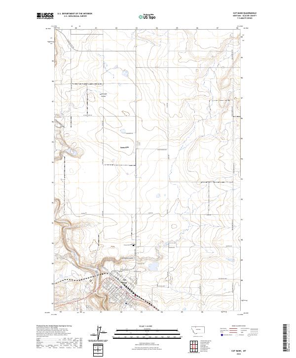
2024 Cut Bank
Glacier County, MT
Featured Locations
- Ethridge, MT
- Hillside Hutterite Colony, MT
- Glacier Hutterite Colony, MT
- Horizon Hutterite Colony, MT
- Cut Bank, MT