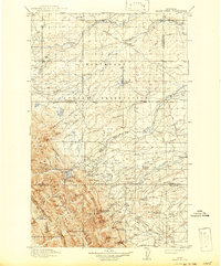
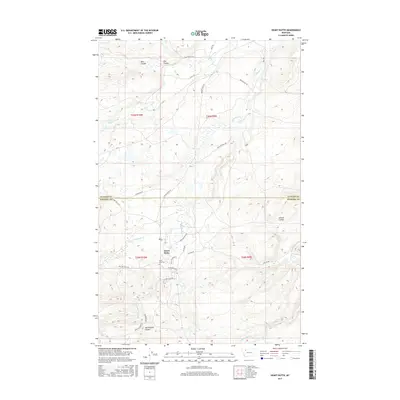
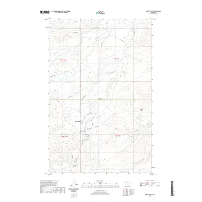
1914 Map of Heart Butte
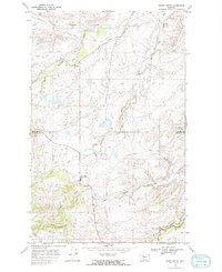
USGS Topo · Published 1959About this map
Blackfeet Indian Reservation land and the eastern edge of the Lewis and Clark National Forest dominate this landscape, surveyed between 1907 and 1914. The topography transitions from the high peaks along the Continental Divide to the plains and coulees in the east. Early 20th-century life is evidenced by small settlements like Heart Butte, Piegan, and Family, while a network of country schools including the Terryman School, Fish Lake School, and Jensen School served the scattered population.
Find a feature on this map
62 named features on this map. Tap any name to fly to it.
Don’t see what you’re looking for? This feature index may not catch every label — zoom into the map to look around manually.
Map Details
Editions of this 1914 Heart Butte Map
This is the sole edition of this map. No revisions or reprints were ever made.
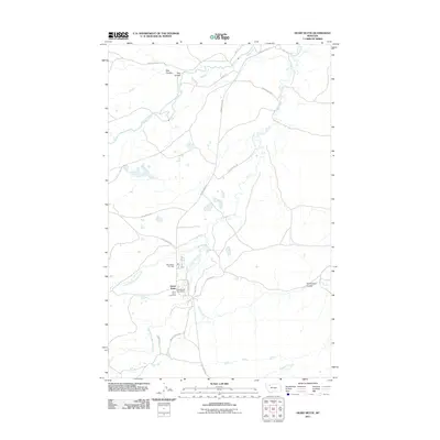
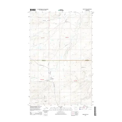
Historical Maps of Heart Butte Through Time
8 maps found