
1918 Map of Heart Butte
USGS Topo · Published 1918About this map
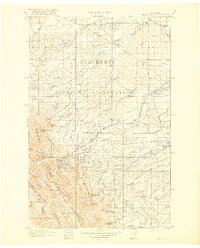
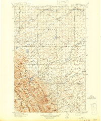
The Blackfeet Indian Reservation dominates the northern half of this landscape, meeting the high peaks of the Lewis and Clark National Forest along the western edge. This 1918 edition documents a frontier transition as early irrigation infrastructure like the Swift Reservoir and various creeks such as Birch Creek and Blacktail Creek supported burgeoning ranching and settlement. Remote outposts and early educational hubs are clearly marked, including the Fish Lake School, Terryn School, and Dry Fork School.
Find a feature on this map
67 named features on this map. Tap any name to fly to it.
Don’t see what you’re looking for? This feature index may not catch every label — zoom into the map to look around manually.
Map Details
Editions of this 1918 Heart Butte Map
3 editions found
Other maps of this area

1901 · Browning
USGS Topo · 1:125,000

1903 · Browning
USGS Topo · 1:125,000

1903 · Saypo
USGS Topo · 1:125,000

1907 · Blackfoot Res.
USGS Topo · 1:48,000

1909 · Cut Bank
USGS Topo · 1:125,000

1911 · Blackfoot
USGS Topo · 1:125,000

1912 · Cut Bank
USGS Topo · 1:125,000

1913 · Marias Pass
USGS Topo · 1:125,000

1914 · Heart Butte
USGS Topo · 1:125,000

1920 · Choteau
USGS Topo · 1:125,000