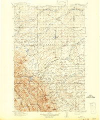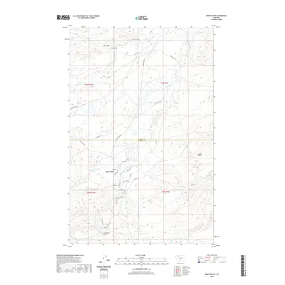
1968 Map of Heart Butte
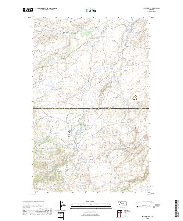
USGS Topo · Published 1972About this map
Heart Butte serves as the central focal point of this landscape within the Blackfeet Indian Reservation, where the drainage patterns of the Rocky Mountain front begin to define the plains. The confluence of the North Fork and South Fork waters meets at the settlement, surrounded by a complex network of coulees and creeks. To the north, Badger Creek winds across the terrain near a Gaging Sta, reflecting the importance of water management in this arid region. The boundary between Glacier and Pondera Counties bisects the sheet, cutting through the headwaters of Whitetail Creek and the southern reaches of Blacktail Feather Coulee. This 1960s-era topography captures the rural footprint of the Blackfeet nation before modern developments, showing the distribution of small springs and the winding paths of intermittent streams.
Find a feature on this map
10 named features on this map. Tap any name to fly to it.
Don’t see what you’re looking for? This feature index may not catch every label — zoom into the map to look around manually.
Map Details
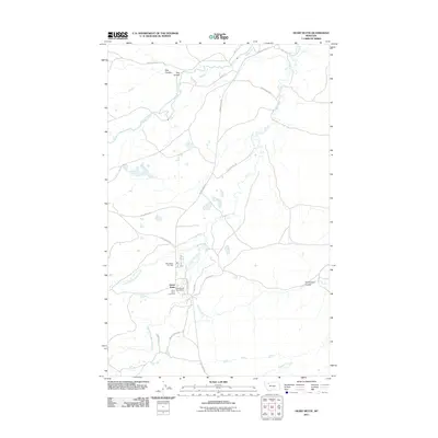
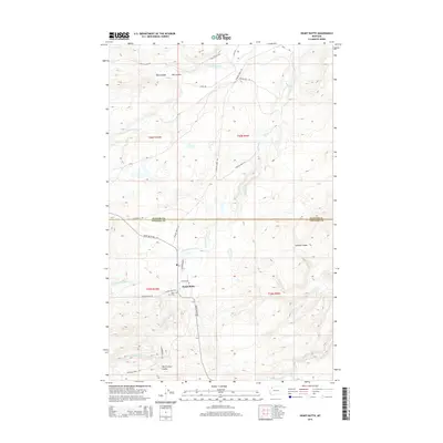
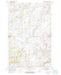
Editions of this 1968 Heart Butte Map
2 editions found
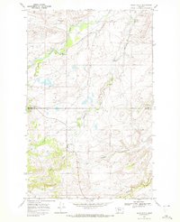
Historical Maps of Heart Butte Through Time
8 maps found