Loading...
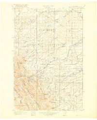
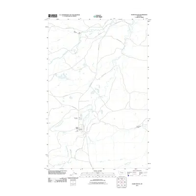
Loading map...1918 Map of Heart Butte
USGS Topo · Published 1918About this map
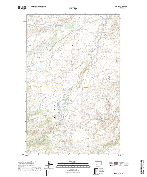
The Blackfeet Indian Reservation dominates the northern half of this landscape, where the plains meet the rising front of the Rockies. To the south, the Lewis and Clark National Forest encompasses the high country of the Continental Divide, including peaks such as Feather Woman Mtn and Mt Patrick Gass. This 1918 edition captures a transition from mountain wilderness to the early agricultural and ranching infrastructure of the eastern plains.
Find a feature on this map
69 named features on this map. Tap any name to fly to it.
Don’t see what you’re looking for? This feature index may not catch every label — zoom into the map to look around manually.
Map Details
Date Portrayed1918
Date Published1918
PublisherU.S. Geological Survey
Map TypeTopographic
Scale1:125,000
Physical Dimensions16.58 x 20.58 inches
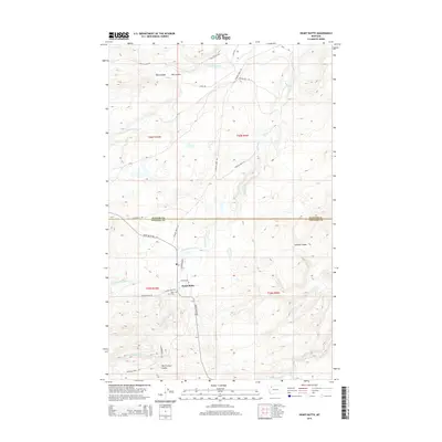
Editions of this 1918 Heart Butte Map
3 editions found
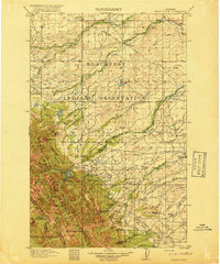
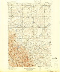
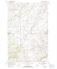
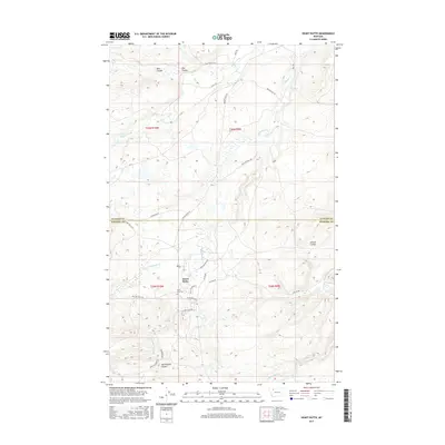
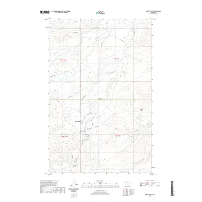
Historical Maps of Heart Butte Through Time
8 maps found

Featured Locations
Source Details
SourceU.S. Geological Survey
CopyrightPublic Domain