
1913 Map of Marias Pass
USGS Topo · Published 1913About this map
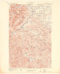
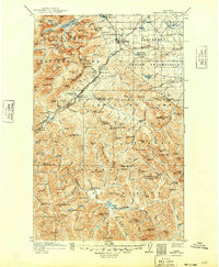
Marias Pass serves as the focal point of this 1913 survey, where the Continental Divide separates the headwaters of the Middle Fork Flathead River from the Two Medicine Creek drainage. The Great Northern Railroad winds through the high elevation pass, connecting the early settlements of Midvale and Glacier Park Sta to mountain outposts like Lubec, Fielding, and Highgate. This era represents a critical moment in the development of the region, as the newly established Glacier National Park and the adjacent Blackfeet Indian Reservation delineate the landscape's governance.
Find a feature on this map
139 named features on this map. Tap any name to fly to it.
Don’t see what you’re looking for? This feature index may not catch every label — zoom into the map to look around manually.
Map Details
Editions of this 1913 Marias Pass Map
3 editions found
Other maps of this area

1901 · Browning
USGS Topo · 1:125,000

1903 · Browning
USGS Topo · 1:125,000

1903 · Saypo
USGS Topo · 1:125,000

1904 · Chief Mountain
USGS Topo · 1:125,000

1911 · Blackfoot
USGS Topo · 1:125,000

1914 · Nyack
USGS Topo · 1:125,000

1914 · Heart Butte
USGS Topo · 1:125,000

1918 · Heart Butte
USGS Topo · 1:125,000

1936 · Silvertip
USGS Topo · 1:96,000

1938 · Chief Mountain
USGS Topo · 1:125,000