
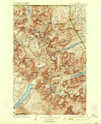
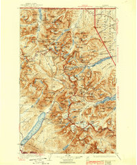
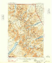
1904 Map of Chief Mountain
USGS Topo · Published 1904About this map
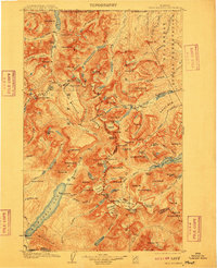
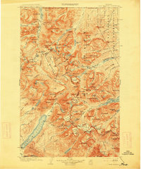
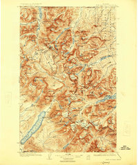
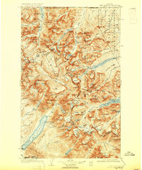
The Continental Divide serves as the spine of this early twentieth-century survey, separating the Lewis and Clark Forest Reserve from the Blackfeet Indian Reservation to the east. At this moment in history, the landscape remains largely defined by its natural barriers and early pioneering outposts. Scattered settlements and seasonal camps like Kipps Cabin, Altyn, and Geduhn's are connected by high mountain passes, including Ahern Pass and Swiftcurrent Pass.
Find a feature on this map
129 named features on this map. Tap any name to fly to it.
Don’t see what you’re looking for? This feature index may not catch every label — zoom into the map to look around manually.
Map Details
Editions of this 1904 Chief Mountain Map
8 editions found
Other maps of this area

1901 · Browning
USGS Topo · 1:125,000

1903 · Browning
USGS Topo · 1:125,000

1906 · Kintla Lakes
USGS Topo · 1:125,000

1913 · Marias Pass
USGS Topo · 1:125,000

1914 · Nyack
USGS Topo · 1:125,000

1938 · Chief Mountain
USGS Topo · 1:125,000

1938 · Kintla Lakes
USGS Topo · 1:125,000

1943 · Kalispell
USGS Topo · 1:125,000

1957 · Kalispell
USGS Topo · 1:250,000

1960 · Kalispell
USGS Topo · 1:250,000