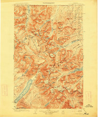
1904 Map of Chief Mountain
USGS Topo · Published 1914About this map
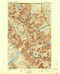
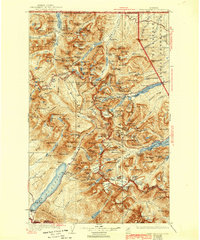
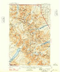
Glacier National Park is documented here during the early twentieth century, revealing a landscape defined by its ice-carved peaks and the transition from the Blackfeet Indian Reservation in the east. This survey, conducted shortly after the turn of the century by Francois E. Matthes and R.H. Sargent, captures the area before modern infrastructure arrived, highlighting early landmarks like Rogers Ranch and Apgar. The map traces the Continental Divide as it winds through high summits such as Mt Cleveland and Chief Mtn, while early mountain travel is marked by Swiftcurrent Pass and Ahern Pass. Hydrological features include the northern reach of Waterton Lake crossing into the United States Dominion of Canada and the drainage of the Belly River, providing a detailed look at the region’s topography before the widespread development of the national park system.
Find a feature on this map
175 named features on this map. Tap any name to fly to it.
Don’t see what you’re looking for? This feature index may not catch every label — zoom into the map to look around manually.
Map Details
Editions of this 1904 Chief Mountain Map
8 editions found
Other maps of this area

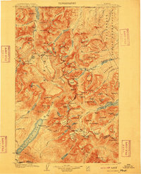
1901 · Browning
USGS Topo · 1:125,000

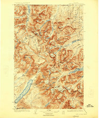
1903 · Browning
USGS Topo · 1:125,000

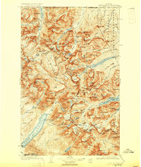
1904 · Chief Mountain
USGS Topo · 1:125,000

1906 · Kintla Lakes
USGS Topo · 1:125,000

1913 · Marias Pass
USGS Topo · 1:125,000

1914 · Nyack
USGS Topo · 1:125,000

1938 · Chief Mountain
USGS Topo · 1:125,000

1938 · Kintla Lakes
USGS Topo · 1:125,000

1943 · Kalispell
USGS Topo · 1:125,000

1957 · Kalispell
USGS Topo · 1:250,000