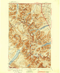
1904 Map of Chief Mountain
USGS Topo · Published 1942About this map
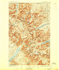
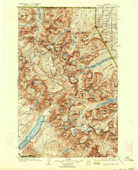
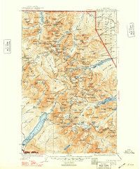
Glacier National Park and the adjacent Blackfeet Indian Reservation dominate this survey, which captures the region's early transition into a premiere mountain destination. The geography is defined by its massive ice features, including the Miche Wabun Glacier, Kaina Glacier, and Harrison Glacier, all shown before the significant retreats of the later 20th century. High-altitude outposts such as Sperry Chalet, Granite Park Chalet, and Many Glacier Chalet are marked along the trails, serving as critical infrastructure for early travelers navigating the Continental Divide. The transit network of the early 1940s is anchored by the Going-to-the-Sun Highway, cutting a path toward The Narrows at St. Mary Lake. Along the southwestern edge, the small settlements of Belton and Apgar stand near the foot of Lake McDonald, while remote outposts like Kellys Camp and Rogers Ranch highlight the sparse human footprint in the backcountry. This edition reflects several decades of fieldwork by topographers like Francois E. Matthes and R.H. Sargent.
Find a feature on this map
233 named features on this map. Tap any name to fly to it.
Don’t see what you’re looking for? This feature index may not catch every label — zoom into the map to look around manually.
Map Details
Editions of this 1904 Chief Mountain Map
8 editions found
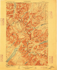
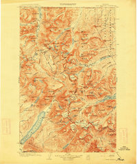
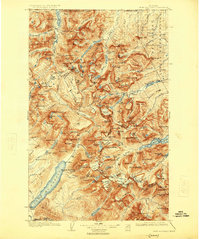
Other maps of this area

1901 · Browning
USGS Topo · 1:125,000

1903 · Browning
USGS Topo · 1:125,000

1904 · Chief Mountain
USGS Topo · 1:125,000

1906 · Kintla Lakes
USGS Topo · 1:125,000

1913 · Marias Pass
USGS Topo · 1:125,000

1914 · Nyack
USGS Topo · 1:125,000

1938 · Chief Mountain
USGS Topo · 1:125,000

1938 · Kintla Lakes
USGS Topo · 1:125,000

1943 · Kalispell
USGS Topo · 1:125,000

1957 · Kalispell
USGS Topo · 1:250,000