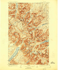
1904 Map of Chief Mountain
USGS Topo · Published 1925About this map
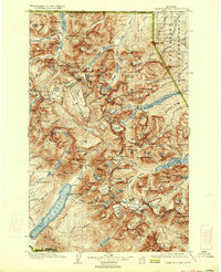
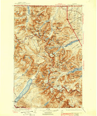
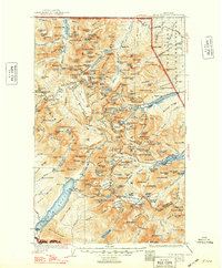
Glacier National Park was still in its early years of federal protection when this survey was updated, showing the high summits of the Continental Divide along the border of the Blackfeet Indian Reservation. The terrain is dominated by massive peaks like Mt Cleveland and the sheer walls of Chief Mtn, while the Going-to-the-Sun Hwy snakes through the central landscape. The 1:125,000 scale details a wilderness shaped by active ice, naming the Ahern Glacier and others that feed the complex drainage of Lake McDonald and the Swiftcurrent Creek.
Find a feature on this map
173 named features on this map. Tap any name to fly to it.
Don’t see what you’re looking for? This feature index may not catch every label — zoom into the map to look around manually.
Map Details
Editions of this 1904 Chief Mountain Map
8 editions found
Other maps of this area

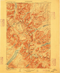
1901 · Browning
USGS Topo · 1:125,000

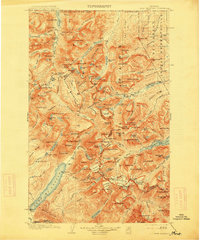
1903 · Browning
USGS Topo · 1:125,000

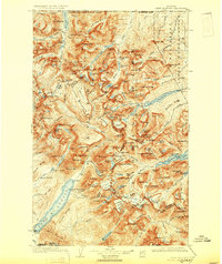
1904 · Chief Mountain
USGS Topo · 1:125,000

1906 · Kintla Lakes
USGS Topo · 1:125,000

1913 · Marias Pass
USGS Topo · 1:125,000

1914 · Nyack
USGS Topo · 1:125,000

1938 · Chief Mountain
USGS Topo · 1:125,000

1938 · Kintla Lakes
USGS Topo · 1:125,000

1943 · Kalispell
USGS Topo · 1:125,000

1957 · Kalispell
USGS Topo · 1:250,000