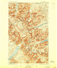
1904 Map of Chief Mountain
USGS Topo · Published 1930About this map
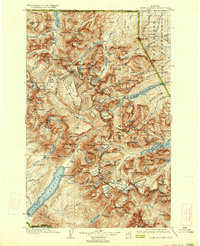
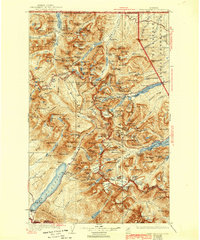
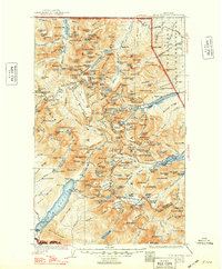
The United States Dominion of Canada Boundary Line defines the northern reaches of this wilderness, where high-altitude geography meets the Blackfeet Indian Reservation to the east. The landscape is dominated by the massive presence of Mt Cleveland and the expansive Flattop Mountain, a high plateau that divides the drainage systems. Early 20th-century outposts like Apgar and the Rogers Ranch provide rare points of human habitation amidst a network of glacial lakes including Waterton Lake and Sherburne Lake. The presence of numerous passes, such as Indian Pass and Swiftcurrent Pass, suggests the primary travel corridors through this high-country terrain before modern infrastructure. The hydrology is complex, with the Belly River and Kennedy Creek carving deep valleys that would later define the character of the national park lands.
Find a feature on this map
194 named features on this map. Tap any name to fly to it.
Don’t see what you’re looking for? This feature index may not catch every label — zoom into the map to look around manually.
Map Details
Editions of this 1904 Chief Mountain Map
8 editions found
Other maps of this area

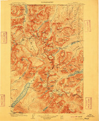
1901 · Browning
USGS Topo · 1:125,000

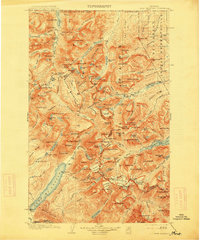
1903 · Browning
USGS Topo · 1:125,000

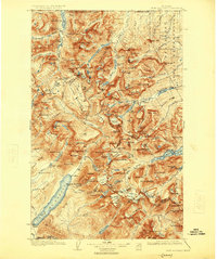
1904 · Chief Mountain
USGS Topo · 1:125,000

1906 · Kintla Lakes
USGS Topo · 1:125,000

1913 · Marias Pass
USGS Topo · 1:125,000

1914 · Nyack
USGS Topo · 1:125,000

1938 · Chief Mountain
USGS Topo · 1:125,000

1938 · Kintla Lakes
USGS Topo · 1:125,000

1943 · Kalispell
USGS Topo · 1:125,000

1957 · Kalispell
USGS Topo · 1:250,000