
1903 Map of Saypo
USGS Topo · Published 1903About this map
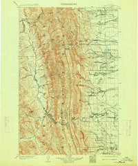
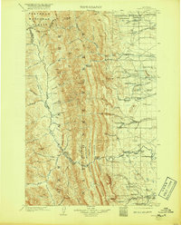
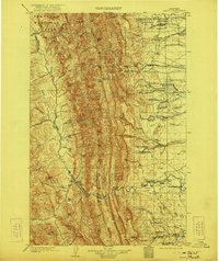
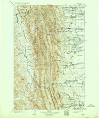
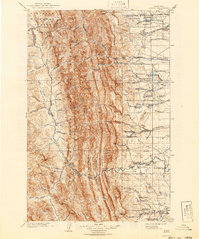
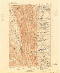
Lewis and Clark Forest Reserve and the Teton Forest Reserve dominate this early 1900s landscape, where the high peaks of the Continental Divide meet the ranching country of the eastern plains. The map reveals a transition from the vertical world of Teton Pk. and Rocky Mt. to the irrigated drainages of the Teton River and Sun River. Settlers had established a significant network of homesteads by this date, including Jeffersons Ranch and Osgoods Ranch, many situated along Willow Creek and Deep Creek. Early industrial footprints are visible at McGunks Sawmill and a Coal Mine located near Alkali Flat. These features, alongside scattered points like Tie Camp and Luke the bye, illustrate the early extraction and livestock economy in Teton and Lewis and Clark counties before widespread modernization.
Find a feature on this map
103 named features on this map. Tap any name to fly to it.
Don’t see what you’re looking for? This feature index may not catch every label — zoom into the map to look around manually.
Map Details
Editions of this 1903 Saypo Map
7 editions found
Other maps of this area

1902 · Ovando
USGS Topo · 1:125,000

1903 · Coopers Lake
USGS Topo · 1:125,000

1905 · Ovando
USGS Topo · 1:125,000

1913 · Marias Pass
USGS Topo · 1:125,000

1914 · Heart Butte
USGS Topo · 1:125,000

1918 · Heart Butte
USGS Topo · 1:125,000

1920 · Choteau
USGS Topo · 1:125,000

1920 · Dupuyer
USGS Topo · 1:125,000

1936 · Silvertip
USGS Topo · 1:96,000

1936 · Pendroy
USGS Topo · 1:48,000