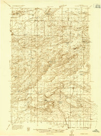
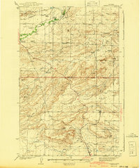
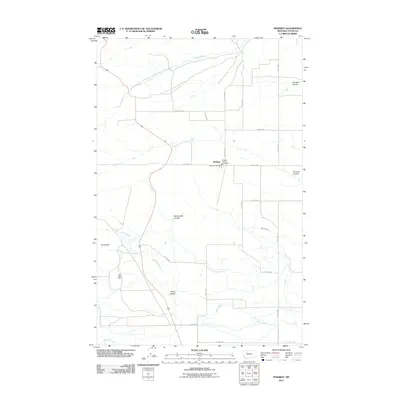
1936 Map of Pendroy
USGS Topo · Published 1936About this map
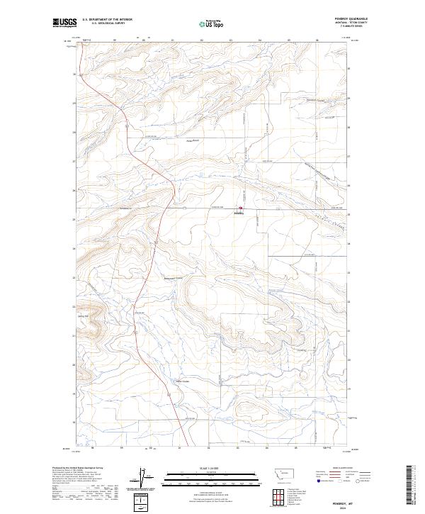
The Great Northern rail line terminates at the settlement of Pendroy, serving as a critical transport hub for the ranching and resource-extraction economies of the northern Montana plains. This 1936 survey documents a landscape defined by water management and mineral prospecting, featuring the Bynum Canal and the Dupuyer Headworks which divert vital flows from the Dupuyer Creek and the Middle Fork Teton River. To the east, a cluster of mining operations including the Hubbard Mine, Oertel Mine, and Kellogg Mine indicate active coal or mineral interest near the Black Buttes. The area is dotted with family-named homesteads and rural education centers like Harmony Sch and Highview Sch, reflecting a structured community of dry-land farmers and ranchers working the coulee-carved terrain between the Teton River and Frances Heights.
Find a feature on this map
54 named features on this map. Tap any name to fly to it.
Don’t see what you’re looking for? This feature index may not catch every label — zoom into the map to look around manually.
Map Details
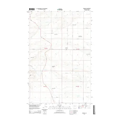
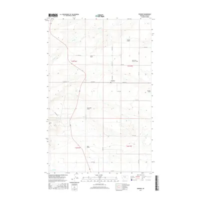
Editions of this 1936 Pendroy Map
2 editions found
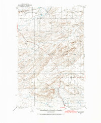
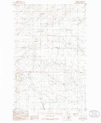
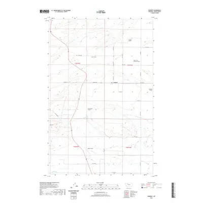
Historical Maps of Pendroy Through Time
8 maps found
Featured Locations
- Pendroy, MT
- Rockport Hutterite Colony, MT
- New Miami Hutterite Colony, MT
- Birch Creek Hutterite Colony, MT
- Pondera Hutterite Colony, MT