
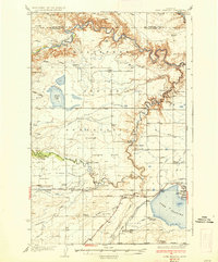
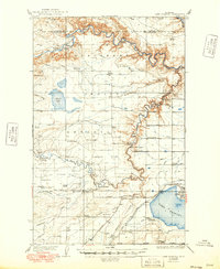
1937 Map of Lake Frances
USGS Topo · Published 1937About this map
Blackfeet Indian Reservation land and the emerging irrigation infrastructure of Pondera County dominate this mid-1930s landscape. The settlement of Valier sits at the eastern edge of Lake Frances, serving as a hub for the surrounding ranching and farming operations. The map documents an extensive network of water management, including the Fisher Canal, Ryan Lauffer Ditch, and several labeled syphons, which transformed these high plains into productive agricultural land.
Find a feature on this map
64 named features on this map. Tap any name to fly to it.
Don’t see what you’re looking for? This feature index may not catch every label — zoom into the map to look around manually.
Map Details
Editions of this 1937 Lake Frances Map
3 editions found
Other maps of this area

1907 · Blackfoot Res.
USGS Topo · 1:48,000

1909 · Cut Bank
USGS Topo · 1:125,000

1911 · Blackfoot
USGS Topo · 1:125,000

1912 · Cut Bank
USGS Topo · 1:125,000

1914 · Heart Butte
USGS Topo · 1:125,000

1918 · Heart Butte
USGS Topo · 1:125,000

1920 · Dupuyer
USGS Topo · 1:125,000

1934 · Lake Frances
USGS Topo · 1:48,000

1934 · Valier
USGS Topo · 1:62,500

1936 · Pendroy
USGS Topo · 1:48,000