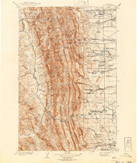
1903 Map of Saypo
USGS Topo · Published 1942About this map
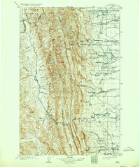
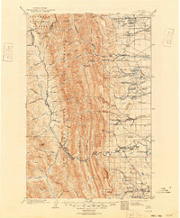
Rocky Mt. and the surrounding peaks of the Lewis and Clark National Forest dominate this turn-of-the-century landscape. The map provides a detailed look at the ranching economy established along the eastern slope, where names like Clark Bros Ranch, Young's Ranch, and Radcliffe's Ranch dot the drainages of the Teton River and Willow Creek.
Find a feature on this map
91 named features on this map. Tap any name to fly to it.
Don’t see what you’re looking for? This feature index may not catch every label — zoom into the map to look around manually.
Map Details
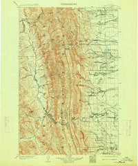
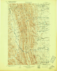
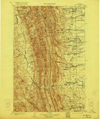
Editions of this 1903 Saypo Map
7 editions found
Other maps of this area

1902 · Ovando
USGS Topo · 1:125,000

1903 · Saypo
USGS Topo · 1:125,000

1903 · Coopers Lake
USGS Topo · 1:125,000

1905 · Ovando
USGS Topo · 1:125,000

1913 · Marias Pass
USGS Topo · 1:125,000

1914 · Heart Butte
USGS Topo · 1:125,000

1918 · Heart Butte
USGS Topo · 1:125,000

1920 · Choteau
USGS Topo · 1:125,000

1920 · Dupuyer
USGS Topo · 1:125,000

1936 · Silvertip
USGS Topo · 1:96,000