Old Maps of Saint Johns, Montana
Explore 11 old maps of Saint Johns, spanning from 1920 to today. These high-resolution historic maps reveal how streets, neighborhoods, landmarks, and natural features evolved over time — perfect for genealogy, metal detecting, research, and local history exploration.
What you can do with these maps:
- See how Saint Johns changed over time: Compare historical maps to modern-day views to trace roads, homesites, rail lines & more.
- View detailed metadata: Each map includes creators, publishers, year, scale, and archive source.
- Overlay maps with satellite & LiDAR: Visualize the past alongside modern tools to explore terrain & human change.
- Trusted historical sources: Maps sourced from the USGS, Library of Congress, and other archives.
- Access maps your way: View online, download high-res files, or order prints for personal or research use.
Start exploring old maps of Saint Johns to uncover forgotten places, hidden landmarks, and the deep history beneath your feet.
Saint Johns, MT maps
(11)- 1920 Map of Gildford
 1920 Gildford1920 Print · USGSNorthern Montana's high plains meet the Canadian border in this era of early rail expansion and homesteading. Genealogists and local historians can trace family-named outposts and rural junctions like Pugsley & Simpson, Wilson's Crossing, and Lilacs.
 - 1943 Map of Gildford
 1943 Gildford1943 Print · USGSSettlement and ranching define this Montana borderland during the early twentieth century, showing the rail-led growth of the northern plains. Researchers can trace the path of the Great Northern Railroad through Gildford or locate vanished sites like Lilacs and Fairchild.
 - 1954 Map of Shelby, 1967 Print
 1954 Shelby1967 Print · USGSNorthern Montana's Hi-Line is captured in the mid-fifties, showing a landscape shaped by the Great Northern rail and early oil development. Trace family roots in Shelby and Conrad, or locate rural landmarks like Goose Bill Butte and the Rocky Boys Indian Reservation.3 unique versions available
 - 1958 Map of Shelby
 1958 Shelby1958 Print · USGSNorthern Montana’s high plains and the Sweetgrass Hills come to life in the late fifties as the Tiber Dam begins to reshape the Marias River valley. Genealogists and historians can trace rail-town lineages along the Great Northern line and locate sites like the Hull Coal Mine or Sweet Grass.
 - 1972 Map of St. Johns, 1975 Print
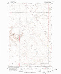 1972 St. Johns1975 Print · USGSHill County ranch lands and open plains are captured in the early seventies, centered on the small settlement of St Johns. Genealogists and historians can trace family land boundaries along the historic Wild Horse Trail and locate local landmarks like the Cem.
 - 1984 Map of Chester
 1984 Chester1984 Print · USGSNorthern Montana's High Line region is documented here in the mid-eighties, showing the vital rail-and-river network along the Canadian border. Genealogists can trace the string of prairie towns from Chester to Gildford or locate specific sites like the Sage Creek Colony and Fresno Reservoir.
 - 2011 Map of Saint Johns, 2011 Print
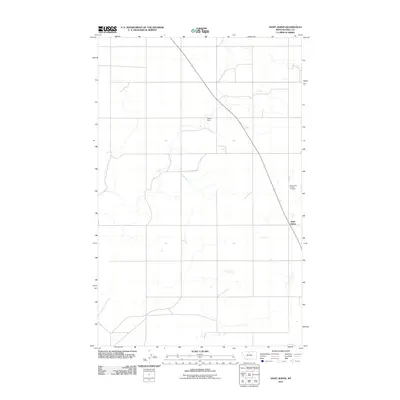 2011 Saint Johns2011 Print · USGSMontana's high plains near the turn of the decade are captured here, centered on the rural settlement of Saint Johns. Genealogists and local historians can locate the Saint Johns Catholic Cemetery and trace water resources like Sigurd Dam across the landscape.
 - 2014 Map of Saint Johns, 2014 Print
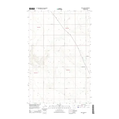 2014 Saint Johns2014 Print · USGSSaint Johns and the surrounding Hill County plains are captured here in a moment of quiet continuity. Researchers can trace the layout of the rural community near the Saint Johns Catholic Cem and follow the diagonal path of MT-232 across the grid of Road 180 N and Base Rd.
 - 2017 Map of Saint Johns, 2017 Print
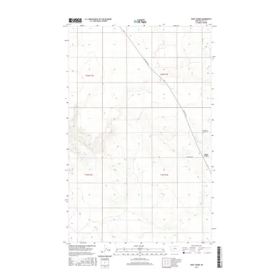 2017 Saint Johns2017 Print · USGSNorth-central Montana's high plains are captured here in 2017, centered on a rural community near the Canadian border. Genealogists and local historians can locate the Saint Johns Catholic Cem and trace the historic route of the Wild Horse Trl as it passes through Saint Johns.
 - 2020 Map of Saint Johns, 2020 Print
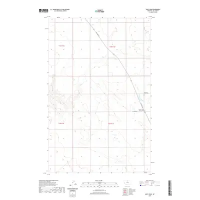 2020 Saint Johns2020 Print · USGSHill County in the early twenty-first century remains a landscape of high prairie settlements and diagonal trails. Genealogists and local historians can locate the Saint Johns Catholic Cem and trace the historic route of the Wild Horse Trl.
 - 2024 Map of Saint Johns, 2024 Print
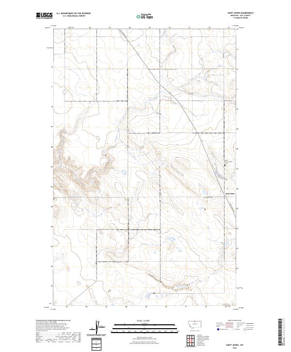 2024 Saint Johns2024 Print · USGSHill County, Montana, is shown here in the 2020s, preserving a landscape of rural settlement and historical transport corridors. Genealogists and historians can locate the Saint Johns Catholic Cem and trace the path of the Wild Horse Trl through Saint Johns.
End of results
Showing maps 1-11 of 11
Frequently asked questions
- What are the different types of historical maps available for Saint Johns?
- What is the oldest map of Saint Johns?
- Where can I purchase historical maps of Saint Johns for my home or office?
- Where can I download high-res historical maps of Saint Johns?
- Are there historical topographic maps available for Saint Johns?
- Is there historical aerial imagery available for Saint Johns?
- Where are historical maps of Saint Johns sourced from?