2000s (21st Century) Maps of Queen, Montana
Explore 6 historic maps of Queen from the 2000s (21st Century). These maps offer a rare glimpse into what life looked like during the 2000s — showing old roads, neighborhoods, homes, and landmarks that have changed or disappeared over time.
Whether you're researching your family's past, planning a metal detecting trip, or studying how Queen's landscape evolved across the 2000s, these high-resolution maps are a powerful tool for exploring the history of this region.
- Focus on a specific era: All maps on this page are from the 2000s, giving you a focused view of this time period.
- See what’s changed: Compare century-old streets, trails, and buildings to today's modern landscape using overlays and satellite layers.
- Research with precision: Use these maps for genealogy, historical research, land use analysis, or educational projects.
- View, download, or print: Maps are fully viewable online in high resolution, and can be downloaded or printed for your own records.
Start exploring Queen's history through authentic maps from the 2000s. This is your window into the past.
Queen, MT maps
(6)- 2001 Map of Elkhorn, 2004 Print
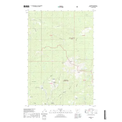
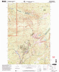 2001 Elkhorn2004 Print · USGSThe Elkhorn Mountains of Montana are shown here at the turn of the century as the landscape transitioned into modern forest management. Historians can trace the legacy of mineral extraction through labels for the Louise Mine, the local Cem, and the historic route over Radersburg Pass.
 - 2011 Map of Elkhorn, 2011 Print
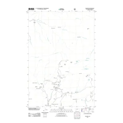 2011 Elkhorn2011 Print · USGSCovers Queen, including Elkhorn, Jefferson County, and other nearby areas
 - 2014 Map of Elkhorn, 2014 Print
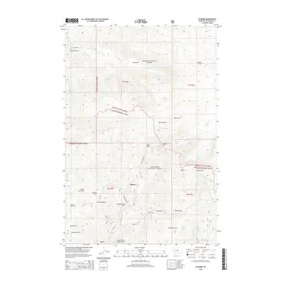 2014 Elkhorn2014 Print · USGSCovers Queen, including Elkhorn, Jefferson County, and other nearby areas
 - 2017 Map of Elkhorn, 2017 Print
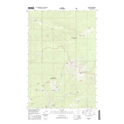 2017 Elkhorn2017 Print · USGSCovers Queen, including Elkhorn, Jefferson County, and other nearby areas
 - 2020 Map of Elkhorn, 2020 Print
 2020 Elkhorn2020 Print · USGSCovers Queen, including Elkhorn, Jefferson County, and other nearby areas
 - 2024 Map of Elkhorn, 2024 Print
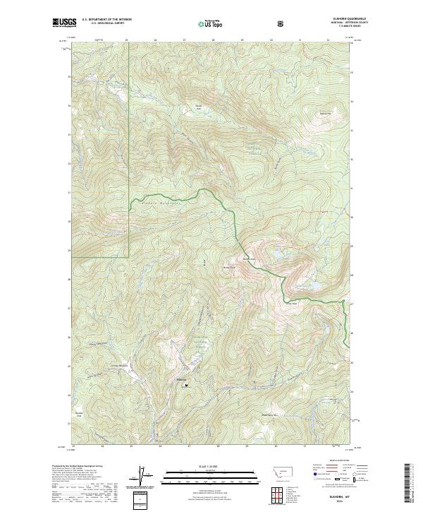 2024 Elkhorn2024 Print · USGSThe Elkhorn Mountains are captured in detail here during the 2020s, showing the high-country terrain where Jefferson County's mining history meets the national forests. Genealogists and hikers can locate Elkhorn Cem, the legacy of Elkhorn, and trails like the Iron Mine Trl.
End of results
Showing maps 1-6 of 6
Top cities near Queen
Frequently asked questions
- What are the different types of historical maps available for Queen?
- What is the oldest map of Queen?
- Where can I purchase historical maps of Queen for my home or office?
- Where can I download high-res historical maps of Queen?
- Are there historical topographic maps available for Queen?
- Is there historical aerial imagery available for Queen?
- Where are historical maps of Queen sourced from?