Old Maps of Fox Ridge, Lewis and Clark County for Genealogy
Trace your family roots with 11 historic maps of Fox Ridge. These high-res maps reveal old neighborhoods, homesites, landmarks, and streets — helping you uncover where your ancestors lived and how the area evolved over time.
- Explore historic neighborhoods: Identify where your relatives may have lived in the 1800s or 1900s.
- Compare maps over time: Trace the changes in streets, buildings, and landmarks for multi-generational research.
- Perfect for genealogy & ancestry research: Used by family historians and researchers to map out lineage and migration.
These maps are an incredible resource for exploring your personal connection to Fox Ridge's past.
Fox Ridge, Lewis and Clark County maps
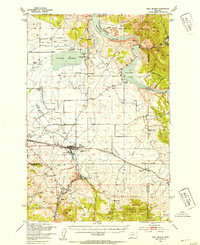
(11)- 1886 Map of Fort Logan
 1886 Fort Logan1886 Print · USGSCovers Fox Ridge, including Helena, Montana City, and other nearby areas5 unique versions available
 - 1899 Map of Helena
 1899 Helena1899 Print · USGSCovers Fox Ridge, including Helena, Montana City, and other nearby areas3 unique versions available
 - 1948 Map of White Sulphur Springs, 1951 Print
 1948 White Sulphur Springs1951 Print · USGSCovers Fox Ridge, including Helena, Montana City, and other nearby areas
 - 1950 Map of East Helena, 1954 Print
 1950 East Helena1954 Print · USGSCovers Fox Ridge, including Helena, Montana City, and other nearby areas4 unique versions available
 - 1958 Map of White Sulphur Springs, 1968 Print
 1958 White Sulphur Springs1968 Print · USGSCovers Fox Ridge, including Helena, Montana City, and other nearby areas3 unique versions available
 - 1961 Map of White Sulphur Springs
 1961 White Sulphur Springs1961 Print · USGSCovers Fox Ridge, including Helena, Montana City, and other nearby areas
 - 1965 Map of White Sulphur Springs
 1965 White Sulphur Springs1965 Print · USGSCovers Fox Ridge, including Helena, Montana City, and other nearby areas
 - 1972 Map of Lake Helena, 1975 Print
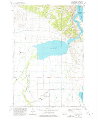 1972 Lake Helena1975 Print · USGSCovers Fox Ridge, including Lewis and Clark County, United States, and other nearby areas2 unique versions available
 - 1975 Map of Canyon Ferry Dam, 1994 Print
 1975 Canyon Ferry Dam1994 Print · USGSCovers Fox Ridge, including Helena, Montana City, and other nearby areas
 - 2001 Map of Lake Helena, 2004 Print
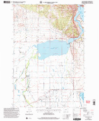 2001 Lake Helena2004 Print · USGSCovers Fox Ridge, including Lewis and Clark County, United States, and other nearby areas
 - 2024 Map of Lake Helena, 2024 Print
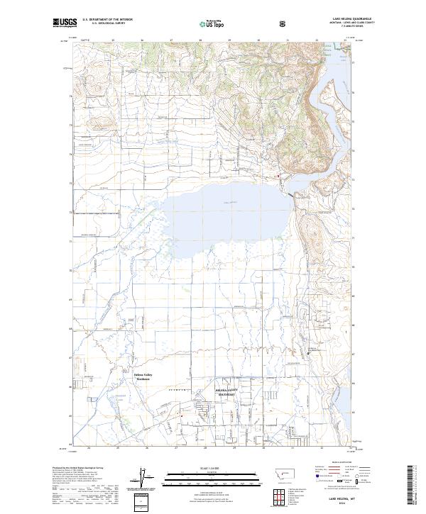 2024 Lake Helena2024 Print · USGSCovers Fox Ridge, including Lewis and Clark County, United States, and other nearby areas
End of results
Showing maps 1-11 of 11
Frequently asked questions
- What are the different types of historical maps available for Fox Ridge?
- What is the oldest map of Fox Ridge?
- Where can I purchase historical maps of Fox Ridge for my home or office?
- Where can I download high-res historical maps of Fox Ridge?
- Are there historical topographic maps available for Fox Ridge?
- Is there historical aerial imagery available for Fox Ridge?
- Where are historical maps of Fox Ridge sourced from?