2000s (21st Century) Maps of Skyline, Montana
Explore 6 historic maps of Skyline from the 2000s (21st Century). These maps offer a rare glimpse into what life looked like during the 2000s — showing old roads, neighborhoods, homes, and landmarks that have changed or disappeared over time.
Whether you're researching your family's past, planning a metal detecting trip, or studying how Skyline's landscape evolved across the 2000s, these high-resolution maps are a powerful tool for exploring the history of this region.
- Focus on a specific era: All maps on this page are from the 2000s, giving you a focused view of this time period.
- See what’s changed: Compare century-old streets, trails, and buildings to today's modern landscape using overlays and satellite layers.
- Research with precision: Use these maps for genealogy, historical research, land use analysis, or educational projects.
- View, download, or print: Maps are fully viewable online in high resolution, and can be downloaded or printed for your own records.
Start exploring Skyline's history through authentic maps from the 2000s. This is your window into the past.
Skyline, MT maps
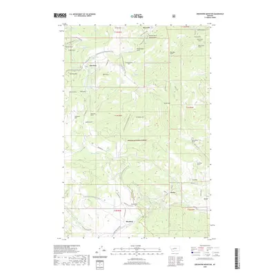
(6)- 2001 Map of Greenhorn Mountain, 2004 Print
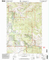 2001 Greenhorn Mountain2004 Print · USGSThe high passes of the Continental Divide come into focus in this turn-of-the-millennium survey of the northern Rockies. You can trace the path of the Mullan Tunnel and locate historic mining operations like Drumlummon and the Strawberry Mine.
 - 2011 Map of Greenhorn Mountain, 2011 Print
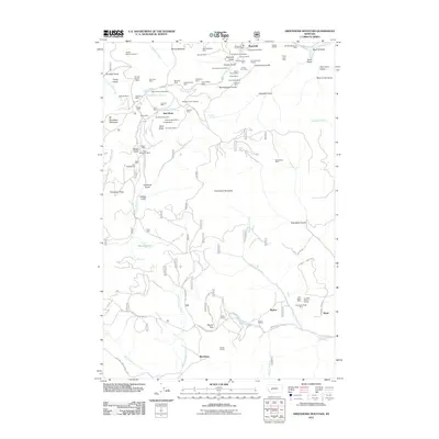 2011 Greenhorn Mountain2011 Print · USGSCovers Skyline, including Bald Butte, Blossburg, and other nearby areas
 - 2014 Map of Greenhorn Mountain, 2014 Print
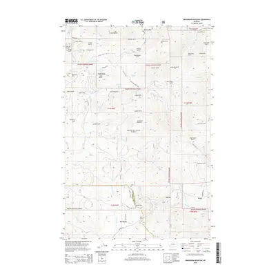 2014 Greenhorn Mountain2014 Print · USGSCovers Skyline, including Bald Butte, Blossburg, and other nearby areas
 - 2017 Map of Greenhorn Mountain, 2017 Print
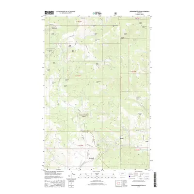 2017 Greenhorn Mountain2017 Print · USGSCovers Skyline, including Bald Butte, Blossburg, and other nearby areas
 - 2020 Map of Greenhorn Mountain, 2020 Print
 2020 Greenhorn Mountain2020 Print · USGSCovers Skyline, including Bald Butte, Blossburg, and other nearby areas
 - 2024 Map of Greenhorn Mountain, 2024 Print
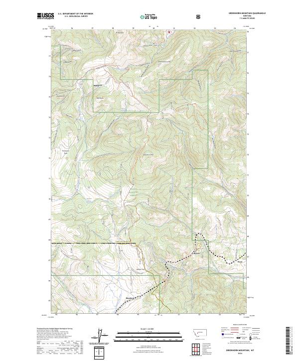 2024 Greenhorn Mountain2024 Print · USGSThe Continental Divide crests through the Lewis and Clark County high country in this recent survey. Researchers can trace historic mountain passages and early settlements like Blossburg and Skyline near the renowned Mullan Pass.
End of results
Showing maps 1-6 of 6
Top cities near Skyline
Frequently asked questions
- What are the different types of historical maps available for Skyline?
- What is the oldest map of Skyline?
- Where can I purchase historical maps of Skyline for my home or office?
- Where can I download high-res historical maps of Skyline?
- Are there historical topographic maps available for Skyline?
- Is there historical aerial imagery available for Skyline?
- Where are historical maps of Skyline sourced from?