Old Maps of Trego, Montana
Explore 13 old maps of Trego, spanning from 1913 to today. These high-resolution historic maps reveal how streets, neighborhoods, landmarks, and natural features evolved over time — perfect for genealogy, metal detecting, research, and local history exploration.
What you can do with these maps:
- See how Trego changed over time: Compare historical maps to modern-day views to trace roads, homesites, rail lines & more.
- View detailed metadata: Each map includes creators, publishers, year, scale, and archive source.
- Overlay maps with satellite & LiDAR: Visualize the past alongside modern tools to explore terrain & human change.
- Trusted historical sources: Maps sourced from the USGS, Library of Congress, and other archives.
- Access maps your way: View online, download high-res files, or order prints for personal or research use.
Start exploring old maps of Trego to uncover forgotten places, hidden landmarks, and the deep history beneath your feet.
Trego, MT maps
(13)- 1913 Map of Stryker, 1960 Print
 1913 Stryker1960 Print · USGSNorthwest Montana at the start of the twentieth century was a landscape of remote rail outposts and high-country forestry along the Great Northern. Researchers can locate vanished infrastructure like the Meadow Creek School or trace early forest service history at Point of Rock Ranger Station.
 - 1916 Map of Stryker
 1916 Stryker1916 Print · USGSRailroad-driven development in the early twentieth century defined the corridor from Stryker to Olney along the Great Northern line. Researchers can trace the era's remote infrastructure through landmarks like Butcher Cabin and the Glen Lake School.3 unique versions available
 - 1957 Map of Kalispell, 1967 Print
 1957 Kalispell1967 Print · USGSNorthwest Montana in the late fifties showcases a mountain landscape transitioning between wilderness and industry. Genealogists and researchers can trace the Great Northern rail corridor through Kalispell and Whitefish, or locate landmarks like the Montana Soldiers Home and Hungry Horse Reservoir.3 unique versions available
 - 1960 Map of Kalispell
 1960 Kalispell1960 Print · USGSNorthwest Montana in the late fifties is defined by the mountain corridors of the Great Northern Railway and the vast reaches of Glacier National Park. Researchers can trace the legacy of timber and mining towns like Libby, Rexford, and Whitefish, or locate landmarks such as the Snowshoe Mine.
 - 1961 Map of Kalispell
 1961 Kalispell1961 Print · USGSNorthwestern Montana at the start of the 1960s shows a landscape of timber-driven rail towns and the sprawling wild lands of Glacier National Park. Genealogists and historians can trace the route of the Great Northern through mountain passes or locate old settlements like Fortine, Trego, and Warland.
 - 1963 Map of Stryker, 1966 Print
 1963 Stryker1966 Print · USGSNorthwest Montana’s timber and rail country is captured here in the early sixties, showing the vital Great Northern rail corridor. Researchers can trace the layout of Stryker and Trego, along with the Murphy Lake Ranger Sta and Ant Flat.3 unique versions available
 - 1981 Map of Whitefish Range, 1982 Print
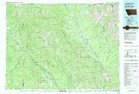 1981 Whitefish Range1982 Print · USGSThe Whitefish Range and Glacier National Park are shown here in the early eighties, documenting a massive wilderness landscape. Researchers can trace remote mountain outposts like Polebridge and rail-town history along the Burlington Northern near Trego and Olney.
 - 1997 Map of Stryker, 2000 Print
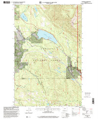 1997 Stryker2000 Print · USGSNorthwest Montana in the late nineties centers on the railroad corridor and timberlands between the local forests. Genealogists and researchers can trace the tracks of the Burlington Northern and locate family landmarks near Trego, Stryker, and Dickey Lake.
 - 2011 Map of Stryker, 2011 Print
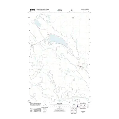 2011 Stryker2011 Print · USGSLincoln County, Montana, in the early twenty-first century remains a landscape of small timber-and-transit outposts and deep forest drainages. Researchers can locate the Trego Post Office and Stryker Post Office or trace the routes of Cripple Creek and the Stillwater River.
 - 2014 Map of Stryker, 2014 Print
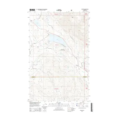 2014 Stryker2014 Print · USGSThe mountain valleys of Lincoln County come into focus in the early twenty-first century, centered on the small communities of Trego and Stryker. Researchers can trace the drainage of the Stillwater River and locate remote landmarks like Patrick Ridge and Dickey Lake.
 - 2017 Map of Stryker, 2017 Print
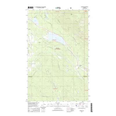 2017 Stryker2017 Print · USGSNorthwestern Montana's timberlands and mountain lakes are documented here in the late twenty-teens. Genealogists and local historians can trace the routes between Stryker, Trego, and Ant Flat or locate specific points along the Stillwater River and Dickey Lake.
 - 2020 Map of Stryker, 2020 Print
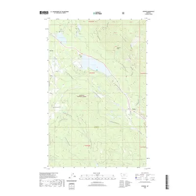 2020 Stryker2020 Print · USGSNorthwest Montana’s timberlands and mountain ridges are documented here in the recent past, centering on the Kootenai National Forest. Researchers can trace the drainage of the Stillwater River and locate the mountain settlement of Stryker near Dickey Lake.
 - 2024 Map of Stryker, 2024 Print
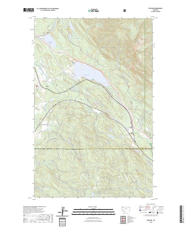 2024 Stryker2024 Print · USGSThe high timber country of Lincoln County is shown here in the mid-2020s, centered on the mountain settlements of Stryker and Trego. Researchers can trace the paths of the Old Fort Steele Trl and the shoreline of Dickey Lake.
End of results
Showing maps 1-13 of 13
Top cities near Trego
Frequently asked questions
- What are the different types of historical maps available for Trego?
- What is the oldest map of Trego?
- Where can I purchase historical maps of Trego for my home or office?
- Where can I download high-res historical maps of Trego?
- Are there historical topographic maps available for Trego?
- Is there historical aerial imagery available for Trego?
- Where are historical maps of Trego sourced from?