Old Maps of Summit, Montana
Explore 17 old maps of Summit, spanning from 1888 to today. These high-resolution historic maps reveal how streets, neighborhoods, landmarks, and natural features evolved over time — perfect for genealogy, metal detecting, research, and local history exploration.
What you can do with these maps:
- See how Summit changed over time: Compare historical maps to modern-day views to trace roads, homesites, rail lines & more.
- View detailed metadata: Each map includes creators, publishers, year, scale, and archive source.
- Overlay maps with satellite & LiDAR: Visualize the past alongside modern tools to explore terrain & human change.
- Trusted historical sources: Maps sourced from the USGS, Library of Congress, and other archives.
- Access maps your way: View online, download high-res files, or order prints for personal or research use.
Start exploring old maps of Summit to uncover forgotten places, hidden landmarks, and the deep history beneath your feet.
Summit, MT maps
(17)- 1888 Map of Three Forks
 1888 Three Forks1888 Print · USGSSouthwestern Montana was a land of mining camps and river junctions in the late nineteenth century, as the railroad began to connect established valleys. Genealogists can trace family roots through pioneer settlements like Virginia City, Salesville, and Spring Hill, or locate early crossings at Barton's Bridge.
 - 1894 Map of Three Forks
 1894 Three Forks1894 Print · USGSSouthwestern Montana thrives along the river forks and rail lines during the mid-1880s. Genealogists and historians can trace early town sites like Pony, Logan, and Salesville while locating river crossings such as Fly's Bridge and Shedds Bridge.
 - 1895 Map of Three Forks
 1895 Three Forks1895 Print · USGSSouthern Montana was a landscape of emerging rail towns and gold-country gulches during the mid-1890s. Genealogists and historians can trace the early footprints of Bozeman, locate Guns Ranch, and follow the Northern Pacific Railroad through Three Forks.5 unique versions available
 - 1947 Map of Bozeman, 1948 Print
 1947 Bozeman1948 Print · USGSBozeman and the surrounding mountain ranges are captured here just after the war, showing the vital rail and river networks of southwestern Montana. Genealogists and historians can trace routes to early settlements like Virginia City, Gallatin Gateway, and the mountain community of Jardine.
 - 1948 Map of Bozeman, 1951 Print
 1948 Bozeman1951 Print · USGSSouthern Montana in the late 1940s is shown as a high-country crossroads of rail lines and river headwaters. Genealogists and historians can trace old town sites like Virginia City and McLeod alongside the Northern Pacific and Milwaukee Road railroads.
 - 1949 Map of Varney, 1952 Print
 1949 Varney1952 Print · USGSMadison County ranching and high-altitude mining define this post-war landscape as it transitioned into modern land management. Researchers can trace historic mineral claims like the Marietta Mine and Summit Mine or locate family ranch holdings including the Rankin Ranch and Hudson Ranch.3 unique versions available
 - 1955 Map of Bozeman
 1955 Bozeman1955 Print · USGSBozeman and the upper Missouri River headwaters are captured here during the mid-fifties, showing the vital rail and river networks of southwestern Montana. Local historians can trace the routes of the Northern Pacific railroad through Livingston and locate smaller settlements like Trident, Anceney, and Jardine.
 - 1958 Map of Bozeman, 1968 Print
 1958 Bozeman1968 Print · USGSThe Gallatin and Madison River valleys are captured here in the late fifties, showing the region's transition into a modern mountain hub. Genealogists and historians can trace the paths of the Northern Pacific RR, locate the Anceney School, and see the early layout of Bozeman.3 unique versions available
 - 1965 Map of Bozeman
 1965 Bozeman1965 Print · USGSSouthwestern Montana's river valleys and mountain ranges appear in detail during the early 1960s. Genealogists and historians can trace rail-era settlements like Trident, locate the Anceney School, and see the early footprint of Montana State College.
 - 1988 Map of Cirque Lake, 1989 Print
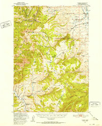
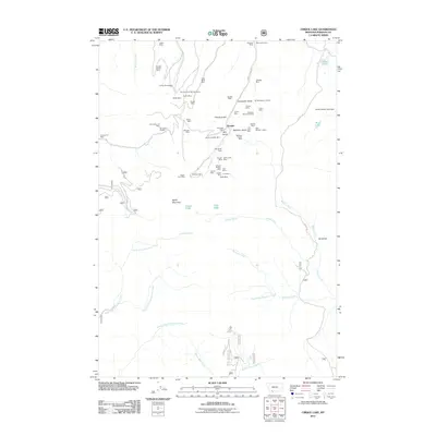
 1988 Cirque Lake1989 Print · USGSMadison County's mining heritage is frozen in time on this 1980s survey of the high Gravelly Range. Trace the locations of historic workings like the Eastern Pacific Mine, Kearsage Mine, and the General Shafter Mine near Baldy Mountain.
 - 1989 Map of Ennis, 1990 Print
 1989 Ennis1990 Print · USGSMadison County ranching and the rise of mountain tourism define this region during the 1980s. Genealogists and historians can trace the development of Ennis, find historic mining sites like the Missouri Mine, or locate the settlements at Virginia City and McAllister.
 - 1997 Map of Cirque Lake, 2002 Print
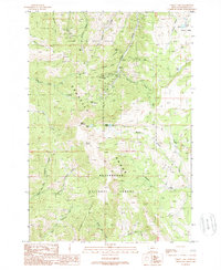
 1997 Cirque Lake2002 Print · USGSThe Gravelly and Greenhorn ranges of southwestern Montana are documented here in the late nineties, showing a landscape defined by mining and forest management. Researchers can locate remote high-country sites like Schultz Cow Camp, the General Shafter Mine, and the Eastern Pacific Mine.
 - 2011 Map of Cirque Lake, 2011 Print
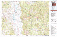
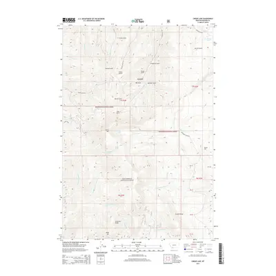
 2011 Cirque Lake2011 Print · USGSCovers Summit, including Madison County, United States, and other nearby areas
 - 2014 Map of Cirque Lake, 2014 Print
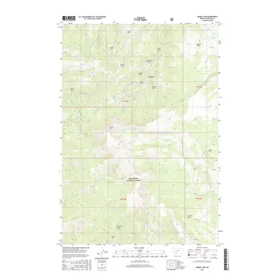
 2014 Cirque Lake2014 Print · USGSCovers Summit, including Madison County, United States, and other nearby areas
 - 2017 Map of Cirque Lake, 2017 Print
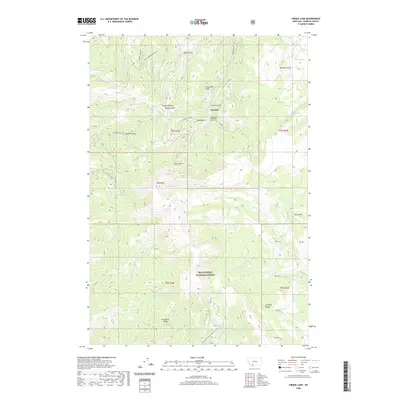
 2017 Cirque Lake2017 Print · USGSCovers Summit, including Madison County, United States, and other nearby areas
 - 2020 Map of Cirque Lake, 2020 Print
 2020 Cirque Lake2020 Print · USGSCovers Summit, including Madison County, United States, and other nearby areas
 - 2024 Map of Cirque Lake, 2024 Print
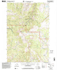
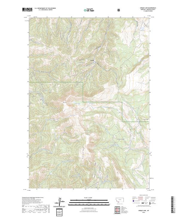 2024 Cirque Lake2024 Print · USGSMadison County's high-altitude drainages are shown in detail as they appeared in 2024 within the Beaverhead National Forest. Researchers can trace the rugged headwaters of Alder Gulch and locate remote alpine landmarks like Baldy Mtn and Cirque Lake.
End of results
Showing maps 1-17 of 17
Top cities near Summit
Frequently asked questions
- What are the different types of historical maps available for Summit?
- What is the oldest map of Summit?
- Where can I purchase historical maps of Summit for my home or office?
- Where can I download high-res historical maps of Summit?
- Are there historical topographic maps available for Summit?
- Is there historical aerial imagery available for Summit?
- Where are historical maps of Summit sourced from?