Old Maps of Forest Green, Montana for Genealogy
Trace your family roots with 18 historic maps of Forest Green. These high-res maps reveal old neighborhoods, homesites, landmarks, and streets — helping you uncover where your ancestors lived and how the area evolved over time.
- Explore historic neighborhoods: Identify where your relatives may have lived in the 1800s or 1900s.
- Compare maps over time: Trace the changes in streets, buildings, and landmarks for multi-generational research.
- Perfect for genealogy & ancestry research: Used by family historians and researchers to map out lineage and migration.
These maps are an incredible resource for exploring your personal connection to Forest Green's past.
Forest Green, MT maps
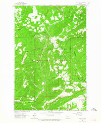
(18)- 1886 Map of Little Belt Mts.
 1886 Little Belt Mts.1886 Print · USGSCentral Montana territory during the mid-1880s is captured here, showing the region's early mining camps and ranching hubs. Researchers can trace the early layouts of White Sulphur Spring and Neihart or locate landmarks like Copperopolis and Crazy Peak.
 - 1894 Map of Little Belt Mts.
 1894 Little Belt Mts.1894 Print · USGSCentral Montana in the late nineteenth century is a land of emerging mining camps and river valley outposts. Historians can trace the early footprints of White Sulphur Spring, the copper prospects at Copperopolis, and the mountain terrain of Neihart.2 unique versions available
 - 1897 Map of Little Belt Mts.
 1897 Little Belt Mts.1897 Print · USGSMeagher County and the central Montana high country are captured here in the 1890s, when mining camps and early ranching outposts were first being established. Researchers can trace the early layout of White Sulphur Springs and locate now-quiet sites like the Sapphire Mine or Copperopolis.
 - 1898 Map of Little Belt Mts.
 1898 Little Belt Mts.1898 Print · USGSCentral Montana in the late nineteenth century is a landscape of mountain mining camps and early ranching outposts. Genealogists and historians can trace the pioneer footprints of White Sulphur Springs, the operations at Sapphire Mine, and the route of Sixteenmile Creek.
 - 1902 Map of Little Belt Mts.
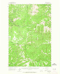
 1902 Little Belt Mts.1902 Print · USGSMeagher County at the close of the nineteenth century is a landscape of mountain mining camps and riverside settlements. Researchers can trace early industry and family roots near the Sapphire Mine, the town of White Sulphur Springs, and the camp at Neihart.3 unique versions available
 - 1948 Map of White Sulphur Springs, 1951 Print
 1948 White Sulphur Springs1951 Print · USGSMontana's capital and the high country of the Big Belt Mountains come alive in this mid-century survey. Trace the early hydroelectric developments at Canyon Ferry Dam or follow the historic rail lines through Ringling and Townsend.
 - 1958 Map of White Sulphur Springs, 1968 Print
 1958 White Sulphur Springs1968 Print · USGSCentral Montana in the late fifties was a landscape of high-country mining and newly formed reservoirs. You can trace the rail-and-river economy of the era through sites like Canyon Ferry Lake, the East Pacific Mine, and the historic Fort Logan.3 unique versions available
 - 1961 Map of White Sulphur Springs
 1961 White Sulphur Springs1961 Print · USGSThe Missouri River valley and central Montana highlands are captured here during a period of significant hydroelectric and rail expansion. Genealogists and rail historians can trace the paths of the Northern Pacific and Chicago Milwaukee St Paul and Pacific through settlements like White Sulphur Springs and Townsend.
 - 1961 Map of Kings Hill, 1964 Print
 1961 Kings Hill1964 Print · USGSThe high passes of Meagher and Cascade counties are captured here in the early 1960s, showing the intersection of three county lines. Trace mountain trails and recreation spots like Kings Hill Campground or landmarks such as Porphyry Peak and Kings Hill Pass.2 unique versions available
 - 1961 Map of Neihart, 1965 Print
 1961 Neihart1965 Print · USGSThe mining district around Neihart and the Lewis and Clark National Forest come alive in this early 1960s survey. Researchers can trace deep-mountain legacy sites like the Silver Dyke Mine, Kings Hill Pass, and the Yogo Lookout Tower.2 unique versions available
 - 1965 Map of White Sulphur Springs
 1965 White Sulphur Springs1965 Print · USGSCentral Montana in the late 1950s and early 60s reveals a rugged mountain landscape shaped by the Missouri River and the emergence of the Canyon Ferry Reservoir. Genealogists and local historians can trace legacy ranching sites, the Northern Pacific rail line, and remote schoolhouses like Cottonwood School and Spokane Creek School.
 - 1984 Map of White Sulphur Springs
 1984 White Sulphur Springs1984 Print · USGSCentral Montana's mining and ranching corridors come to life in the mid-eighties, highlighting the high-country settlements of the Meagher and Judith Basin counties. Genealogists and historians can trace old mining claims like the Silver Dyke Mine and Broadwater Mines, or locate remote points like Checkerboard and Neihart.
 - 1995 Map of Kings Hill, 1997 Print
 1995 Kings Hill1997 Print · USGSKings Hill Pass and the surrounding National Forest are captured here in the mid-nineties as a winter recreation destination. Researchers can trace the high-altitude trails around Porphyry Peak Lookout or locate the settlement of Forest Green near Sheep Creek.2 unique versions available
 - 2011 Map of Kings Hill, 2011 Print
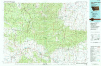
 2011 Kings Hill2011 Print · USGSCovers Forest Green, including Cascade County, Judith Basin County, and other nearby areas
 - 2014 Map of Kings Hill, 2014 Print
 2014 Kings Hill2014 Print · USGSCovers Forest Green, including Cascade County, Judith Basin County, and other nearby areas
 - 2017 Map of Kings Hill, 2017 Print
 2017 Kings Hill2017 Print · USGSCovers Forest Green, including Cascade County, Judith Basin County, and other nearby areas
 - 2020 Map of Kings Hill, 2020 Print
 2020 Kings Hill2020 Print · USGSCovers Forest Green, including Cascade County, Judith Basin County, and other nearby areas
 - 2024 Map of Kings Hill, 2024 Print
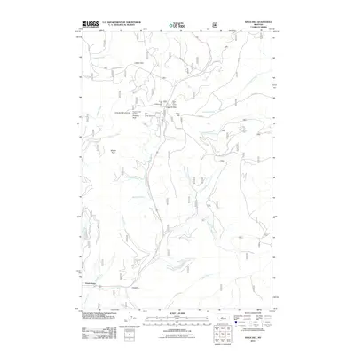
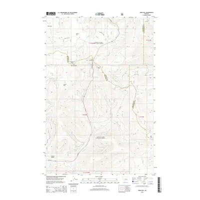
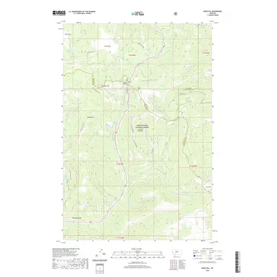
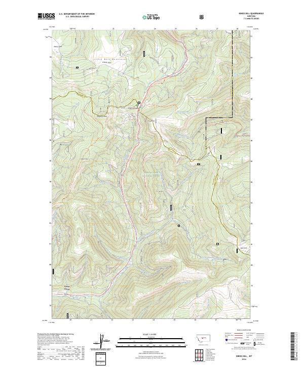 2024 Kings Hill2024 Print · USGSThe high ridges of the Little Belt Mountains are documented here in recent detail at the junction of three Montana counties. Hikers and historians can trace routes across Kings Hill Pass or locate high-country landmarks like Porphyry Peak and Moose Park.
End of results
Showing maps 1-18 of 18
Top cities near Forest Green
Frequently asked questions
- What are the different types of historical maps available for Forest Green?
- What is the oldest map of Forest Green?
- Where can I purchase historical maps of Forest Green for my home or office?
- Where can I download high-res historical maps of Forest Green?
- Are there historical topographic maps available for Forest Green?
- Is there historical aerial imagery available for Forest Green?
- Where are historical maps of Forest Green sourced from?