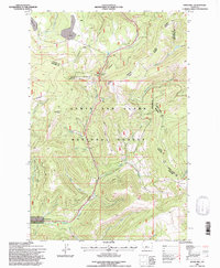
1995 Map of Kings Hill
USGS Topo · Published 1997About this map
Kings Hill Pass serves as the central high-altitude hub of this landscape within the Lewis and Clark National Forest. Revised in the mid-1990s, the map documents a transition towards mountain recreation, anchored by the Show Down Winter Sports Area and the Snowmobile Parking Lot. The survey highlights a complex network of seasonal paths, including the Snowmobile Trail and Cross Country Ski Trail, which weave through the high ridges near Porphyry Peak Lookout.
Find a feature on this map
34 named features on this map. Tap any name to fly to it.
Don’t see what you’re looking for? This feature index may not catch every label — zoom into the map to look around manually.
Map Details
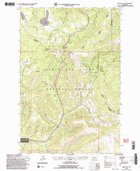
Editions of this 1995 Kings Hill Map
2 editions found
Other maps of this area

1886 · Little Belt Mts.
USGS Topo · 1:250,000

1894 · Little Belt Mts.
USGS Topo · 1:250,000

1897 · Little Belt Mts.
USGS Topo · 1:250,000

1898 · Little Belt Mts.
USGS Topo · 1:250,000

1902 · Little Belt Mts.
USGS Topo · 1:250,000

1948 · White Sulphur Springs
USGS Topo · 1:250,000

1958 · White Sulphur Springs
USGS Topo · 1:250,000

1961 · White Sulphur Springs
USGS Topo · 1:250,000
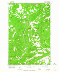
1961 · Kings Hill
USGS Topo · 1:24,000
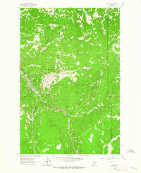
1961 · Neihart
USGS Topo · 1:24,000