
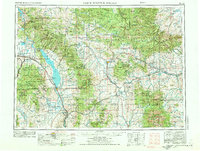
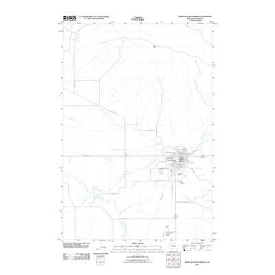
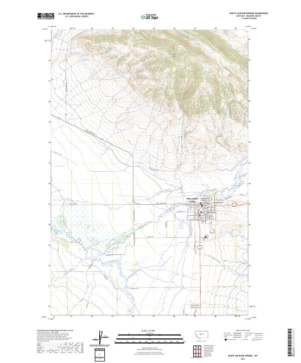
1948 Map of White Sulphur Springs
USGS Topo · Published 1951About this map
Helena and the industrial corridors of the Missouri River anchor the western edge of this 1947 compilation, where the transition from valley floor to the high timber of the Helena National Forest is sharply defined. The map records a critical era for the region's water infrastructure, capturing the presence of the Canyon Ferry Dam and the Hauser Dam, which transformed the river into a sequence of reservoirs including Canyon Ferry Lake and Lake Helena.
Find a feature on this map
99 named features on this map. Tap any name to fly to it.
Don’t see what you’re looking for? This feature index may not catch every label — zoom into the map to look around manually.
Map Details
Editions of this 1948 White Sulphur Springs Map
This is the sole edition of this map. No revisions or reprints were ever made.
Historical Maps of Helena Through Time
12 maps found
1948 White Sulphur Springs
Meagher County, MT
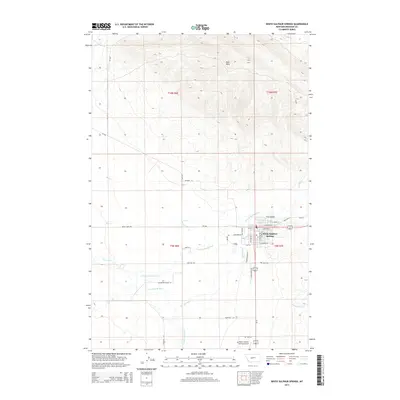
1958 White Sulphur Springs
Meagher County, MT

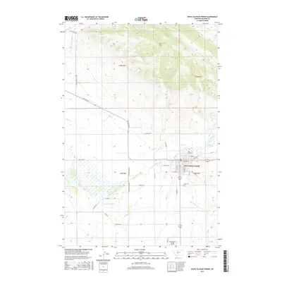
1961 White Sulphur Springs
Meagher County, MT

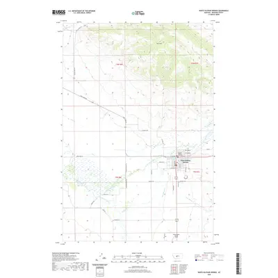
1965 White Sulphur Springs
Meagher County, MT
1971 White Sulphur Springs
Meagher County, MT
1984 White Sulphur Springs
Meagher County, MT
1995 White Sulphur Springs
Meagher County, MT
2011 White Sulphur Springs
Meagher County, MT
2014 White Sulphur Springs
Meagher County, MT
2017 White Sulphur Springs
Meagher County, MT
2020 White Sulphur Springs
Meagher County, MT
2024 White Sulphur Springs
Meagher County, MT