
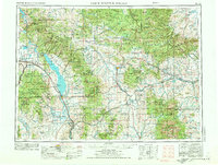
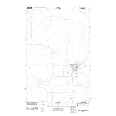
1961 Map of White Sulphur Springs
USGS Topo · Published 1961About this map
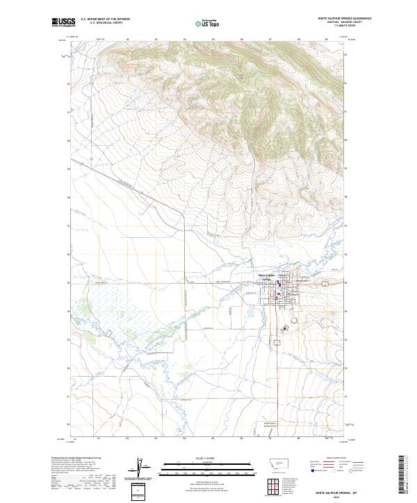
Helena and its industrial neighbor East Helena anchor the western edge of this mid-century landscape, where the Missouri River is harnessed by the Canyon Ferry Dam and Hauser Dam. This era of western development is defined by the heavy infrastructure of three major rail lines—the Northern Pacific, Great Northern, and the Chicago Milwaukee St Paul and Pacific—which navigate the dramatic elevations of the Big Belt Mountains and the Little Belt Mountains.
Find a feature on this map
109 named features on this map. Tap any name to fly to it.
Don’t see what you’re looking for? This feature index may not catch every label — zoom into the map to look around manually.
Map Details
Editions of this 1961 White Sulphur Springs Map
This is the sole edition of this map. No revisions or reprints were ever made.
Historical Maps of Helena Through Time
12 maps found

1948 White Sulphur Springs
Meagher County, MT
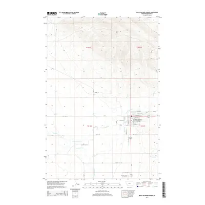
1958 White Sulphur Springs
Meagher County, MT
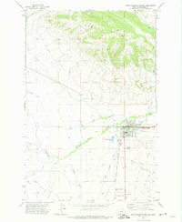
1961 White Sulphur Springs
Meagher County, MT

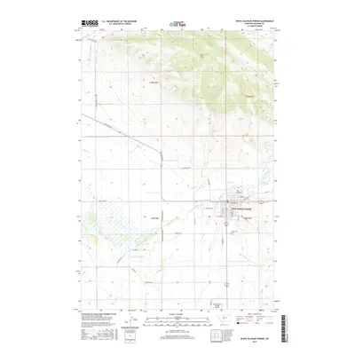
1965 White Sulphur Springs
Meagher County, MT
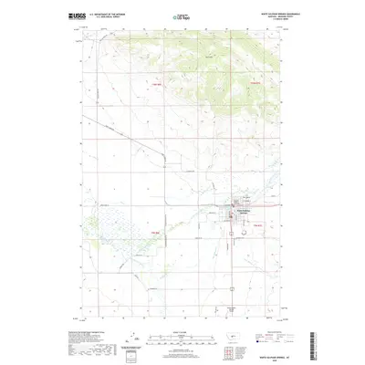
1971 White Sulphur Springs
Meagher County, MT
1984 White Sulphur Springs
Meagher County, MT
1995 White Sulphur Springs
Meagher County, MT
2011 White Sulphur Springs
Meagher County, MT
2014 White Sulphur Springs
Meagher County, MT
2017 White Sulphur Springs
Meagher County, MT
2020 White Sulphur Springs
Meagher County, MT
2024 White Sulphur Springs
Meagher County, MT