Old Maps of Contact, Montana for Genealogy
Trace your family roots with 15 historic maps of Contact. These high-res maps reveal old neighborhoods, homesites, landmarks, and streets — helping you uncover where your ancestors lived and how the area evolved over time.
- Explore historic neighborhoods: Identify where your relatives may have lived in the 1800s or 1900s.
- Compare maps over time: Trace the changes in streets, buildings, and landmarks for multi-generational research.
- Perfect for genealogy & ancestry research: Used by family historians and researchers to map out lineage and migration.
These maps are an incredible resource for exploring your personal connection to Contact's past.
Contact, MT maps
(15)- 1891 Map of Livingston
 1891 Livingston1891 Print · USGSUpper Yellowstone River country is documented here in the late nineteenth century as the railroad transformed the valley. Genealogists and historians can trace rail-stop towns like Cokedale, the military grounds at Ft. Ellis, and the Old Crow Agency.
 - 1893 Map of Livingston
 1893 Livingston1893 Print · USGSThe Montana mountain country and the gateway to the national park are captured here in the late nineteenth century. Trace the industrial rail corridor through Livingston to mining sites like Coke and the historic Old Crow Agency.5 unique versions available
 - 1947 Map of Bozeman, 1948 Print
 1947 Bozeman1948 Print · USGSBozeman and the surrounding mountain ranges are captured here just after the war, showing the vital rail and river networks of southwestern Montana. Genealogists and historians can trace routes to early settlements like Virginia City, Gallatin Gateway, and the mountain community of Jardine.
 - 1948 Map of Bozeman, 1951 Print
 1948 Bozeman1951 Print · USGSSouthern Montana in the late 1940s is shown as a high-country crossroads of rail lines and river headwaters. Genealogists and historians can trace old town sites like Virginia City and McLeod alongside the Northern Pacific and Milwaukee Road railroads.
 - 1951 Map of Mc Leod Basin, 1953 Print
 1951 Mc Leod Basin1953 Print · USGSSweet Grass and Park counties in the early fifties show a transition between high-country wilderness and mountain ranching. You can locate early-century sites like the West Boulder School, the Old Kainuck Guest Ranch, and the Coal Mine along the river canyon.7 unique versions available
 - 1955 Map of Bozeman
 1955 Bozeman1955 Print · USGSBozeman and the upper Missouri River headwaters are captured here during the mid-fifties, showing the vital rail and river networks of southwestern Montana. Local historians can trace the routes of the Northern Pacific railroad through Livingston and locate smaller settlements like Trident, Anceney, and Jardine.
 - 1958 Map of Bozeman, 1968 Print
 1958 Bozeman1968 Print · USGSThe Gallatin and Madison River valleys are captured here in the late fifties, showing the region's transition into a modern mountain hub. Genealogists and historians can trace the paths of the Northern Pacific RR, locate the Anceney School, and see the early layout of Bozeman.3 unique versions available
 - 1965 Map of Bozeman
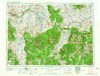 1965 Bozeman1965 Print · USGSSouthwestern Montana's river valleys and mountain ranges appear in detail during the early 1960s. Genealogists and historians can trace rail-era settlements like Trident, locate the Anceney School, and see the early footprint of Montana State College.
 - 1992 Map of Livingston
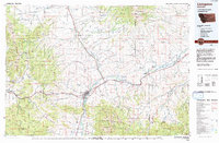 1992 Livingston1992 Print · USGSPark County in the early nineties remains a landscape of river valleys and high wilderness, centered on the historic rail hub of Livingston. Researchers can trace the Burlington Northern Railroad through mountain passes and locate rural markers like the Coal Mine and Clyde Park.
 - 2000 Map of Mc Leod Basin, 2005 Print
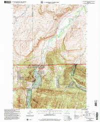 2000 Mc Leod Basin2005 Print · USGSSweet Grass County ranching and forest lands are captured here at the turn of the millennium. Researchers can trace historic local education at West Boulder School and McLeod Sch or locate the Old Kainuck Guest Ranch near the Natural Bridge and Falls.
 - 2011 Map of McLeod Basin, 2011 Print
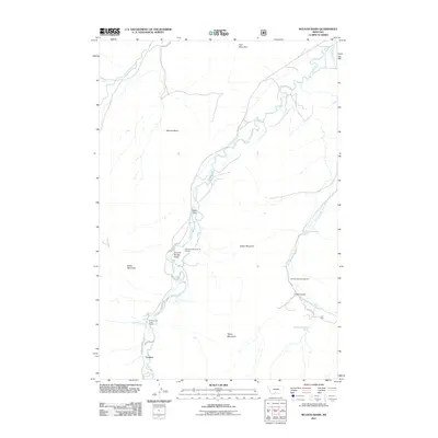 2011 McLeod Basin2011 Print · USGSThe Boulder River corridor in southern Montana is mapped here just after the first decade of the new millennium. Researchers can trace the layout of the Old Kaintuck Guest Ranch and Contact, or locate landmarks like the Natural Bridge Point of Interest and Coal Mine Rim.
 - 2014 Map of McLeod Basin, 2014 Print
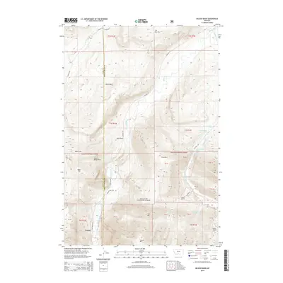 2014 McLeod Basin2014 Print · USGSThe Absaroka-Beartooth foothills near Contact come into focus in this recent survey of the Park and Sweet Grass county line. Genealogists and researchers can trace the reach of the Gallatin National Forest across landmarks like McLeod Basin and the Coal Mine Rim.
 - 2017 Map of McLeod Basin, 2017 Print
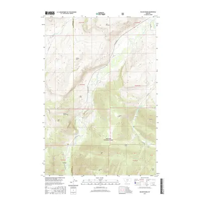 2017 McLeod Basin2017 Print · USGSThe Montana high country near the Sweet Grass County line comes into focus in this late twenty-first-century survey of the Gallatin National Forest. Researchers can locate the settlement of Contact and trace high-altitude landmarks like Coal Mine Rim, McLeod Basin, and the Natural Bridge Draw.
 - 2020 Map of McLeod Basin, 2020 Print
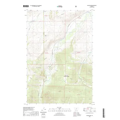 2020 McLeod Basin2020 Print · USGSModern Montana ranching and river geography meet in this 2020 survey of the area where the Boulder River forks. Researchers can trace the path of historic irrigation via the McLeod Ditch or locate the site of Contact near the Gallatin National Forest.
 - 2024 Map of McLeod Basin, 2024 Print
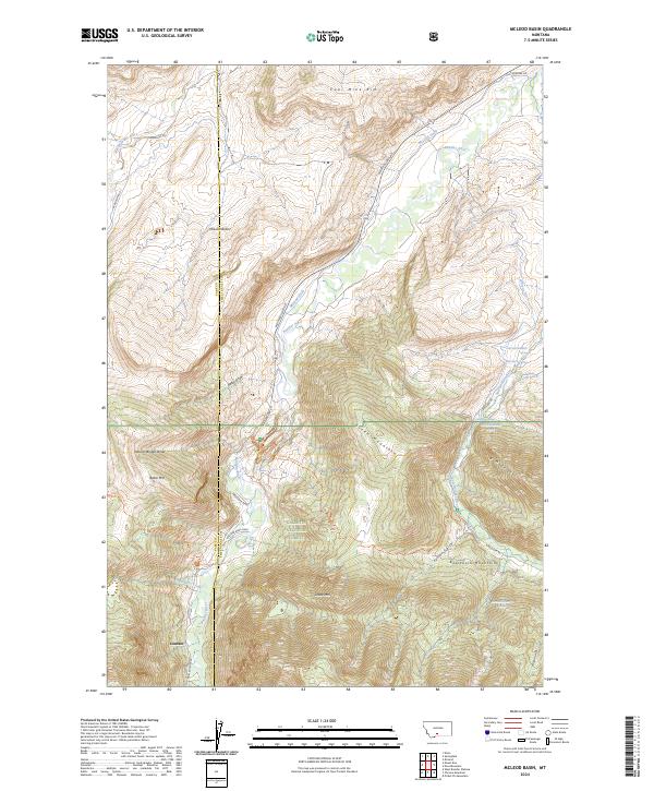 2024 McLeod Basin2024 Print · USGSThe northern slopes of the Beartooth Mountains come into focus in the early twenty-first century as the Boulder River meets the high plains. Genealogists and historians can trace the settlement at Contact and find landmarks like the Boulder Bone Yard and McLeod Basin.
End of results
Showing maps 1-15 of 15
Frequently asked questions
- What are the different types of historical maps available for Contact?
- What is the oldest map of Contact?
- Where can I purchase historical maps of Contact for my home or office?
- Where can I download high-res historical maps of Contact?
- Are there historical topographic maps available for Contact?
- Is there historical aerial imagery available for Contact?
- Where are historical maps of Contact sourced from?