2000s (21st Century) Maps of Coughlin, Montana
Explore 6 historic maps of Coughlin from the 2000s (21st Century). These maps offer a rare glimpse into what life looked like during the 2000s — showing old roads, neighborhoods, homes, and landmarks that have changed or disappeared over time.
Whether you're researching your family's past, planning a metal detecting trip, or studying how Coughlin's landscape evolved across the 2000s, these high-resolution maps are a powerful tool for exploring the history of this region.
- Focus on a specific era: All maps on this page are from the 2000s, giving you a focused view of this time period.
- See what’s changed: Compare century-old streets, trails, and buildings to today's modern landscape using overlays and satellite layers.
- Research with precision: Use these maps for genealogy, historical research, land use analysis, or educational projects.
- View, download, or print: Maps are fully viewable online in high resolution, and can be downloaded or printed for your own records.
Start exploring Coughlin's history through authentic maps from the 2000s. This is your window into the past.
Coughlin, MT maps
(6)- 2001 Map of Marcum Mountain, 2004 Print
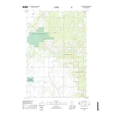
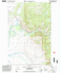 2001 Marcum Mountain2004 Print · USGSPowell County ranching and timber lands are captured here at the turn of the millennium as the mountain slopes meet the valley floor. Researchers can trace historic water rights and homesteads through features like Steeles Ranch, the Helmville Canal, and Coughlin.
 - 2011 Map of Marcum Mountain, 2011 Print
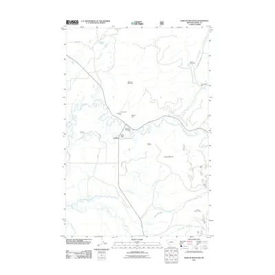 2011 Marcum Mountain2011 Print · USGSCovers Coughlin, including Powell County, United States, and other nearby areas
 - 2014 Map of Marcum Mountain, 2014 Print
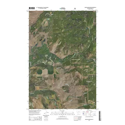 2014 Marcum Mountain2014 Print · USGSCovers Coughlin, including Powell County, United States, and other nearby areas
 - 2017 Map of Marcum Mountain, 2017 Print
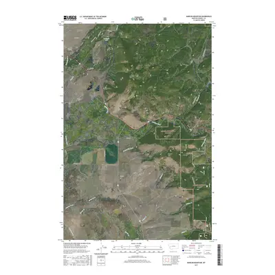 2017 Marcum Mountain2017 Print · USGSCovers Coughlin, including Powell County, United States, and other nearby areas
 - 2020 Map of Marcum Mountain, 2020 Print
 2020 Marcum Mountain2020 Print · USGSCovers Coughlin, including Powell County, United States, and other nearby areas
 - 2024 Map of Marcum Mountain, 2024 Print
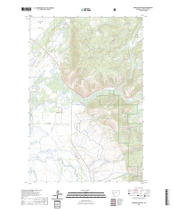 2024 Marcum Mountain2024 Print · USGSThe Blackfoot River valley is captured here in the early twenty-first century, showcasing a landscape of high-country ridges and managed wetlands. Researchers can trace the irrigation network of the North Helmville Canal or locate landmarks like Marcum Mtn and Deadmans Lake.
End of results
Showing maps 1-6 of 6
Frequently asked questions
- What are the different types of historical maps available for Coughlin?
- What is the oldest map of Coughlin?
- Where can I purchase historical maps of Coughlin for my home or office?
- Where can I download high-res historical maps of Coughlin?
- Are there historical topographic maps available for Coughlin?
- Is there historical aerial imagery available for Coughlin?
- Where are historical maps of Coughlin sourced from?