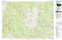
Old Maps of Gird Point, Montana for Genealogy
Trace your family roots with 13 historic maps of Gird Point. These high-res maps reveal old neighborhoods, homesites, landmarks, and streets — helping you uncover where your ancestors lived and how the area evolved over time.
- Explore historic neighborhoods: Identify where your relatives may have lived in the 1800s or 1900s.
- Compare maps over time: Trace the changes in streets, buildings, and landmarks for multi-generational research.
- Perfect for genealogy & ancestry research: Used by family historians and researchers to map out lineage and migration.
These maps are an incredible resource for exploring your personal connection to Gird Point's past.
Gird Point, MT maps
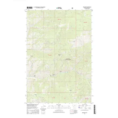
(13)- 1909 Map of Sapphire
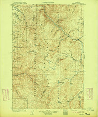 1909 Sapphire1909 Print · USGSThe high Montana wilderness of the Sapphire and Bitterroot ranges is captured in the early 1900s, showing the border between Granite and Ravalli counties. Genealogists and researchers can trace family-named landmarks like Dominic Butte or explore remote basins like Frogpond Basin and Moose Meadows.3 unique versions available
 - 1947 Map of Butte, 1949 Print
 1947 Butte1949 Print · USGSWestern Montana at the peak of its rail-and-river era shows the vital connections between the mining and industrial centers of Butte and Helena. Researchers can trace the three major railroad lines serving mountain settlements like Garrison, Philipsburg, and Warm Springs.2 unique versions available
 - 1958 Map of Butte
 1958 Butte1958 Print · USGSWestern Montana's mining and rail corridors are captured in the late fifties, from the urban bustle of the Copper King cities to high mountain passes. Researchers can trace the path of the Milwaukee St Paul and Pacific through Deer Lodge and locate remote outposts like Potomac Post Office.5 unique versions available
 - 1960 Map of Butte
 1960 Butte1960 Print · USGSWestern Montana at the dawn of the sixties is defined by its industrial mining hubs and the railroads that connect them. Genealogists and historians can trace the routes of the Milwaukee Road through Butte or locate smaller settlements like Southern Cross and Bearmouth.
 - 1962 Map of Butte
 1962 Butte1962 Print · USGSWestern Montana in the early sixties remains a landscape of industrial muscle and high-mountain passes. Trace the rail lines of the Northern Pacific through Deer Lodge and the mining history around Anaconda and Philipsburg.
 - 1974 Map of Gird Point, 1977 Print
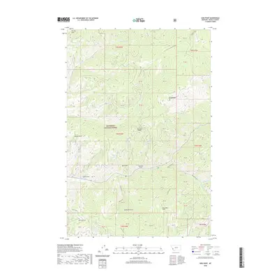
 1974 Gird Point1977 Print · USGSRavalli County's high forest terrain is captured here in the mid-1970s, showing a landscape of federal management and remote mountain access. Researchers can trace forest history through the Black Bear Forest Service Station, Yellowstone Camp, and the winding Skalkaho Creek.
 - 1993 Map of Philipsburg, 1994 Print
 1993 Philipsburg1994 Print · USGSThe mining and mountain country of Granite County is captured in the early nineties, showing a landscape defined by timber and mineral wealth. You can trace historical mining operations at the Black Pine Mine and Cable Mine or locate early settlements like Maxville and Southern Cross.
 - 1998 Map of Gird Point, 2002 Print
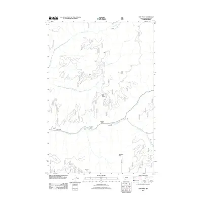
 1998 Gird Point2002 Print · USGSRavalli County in the late nineties is defined here by the managed timberlands and drainage basins of the Bitterroot National Forest. Researchers can trace forest access points and remote landmarks like Black Bear Campground, Gird Point, and the Centennial Nature Grove.
 - 2011 Map of Gird Point, 2011 Print
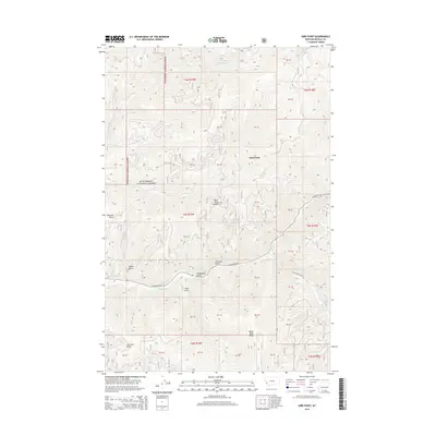
 2011 Gird Point2011 Print · USGSCovers Gird Point, including Ravalli County, United States, and other nearby areas
 - 2014 Map of Gird Point, 2014 Print
 2014 Gird Point2014 Print · USGSCovers Gird Point, including Ravalli County, United States, and other nearby areas
 - 2017 Map of Gird Point, 2017 Print
 2017 Gird Point2017 Print · USGSCovers Gird Point, including Ravalli County, United States, and other nearby areas
 - 2020 Map of Gird Point, 2020 Print
 2020 Gird Point2020 Print · USGSCovers Gird Point, including Ravalli County, United States, and other nearby areas
 - 2024 Map of Gird Point, 2024 Print
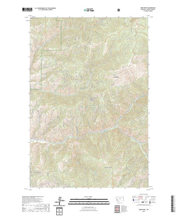 2024 Gird Point2024 Print · USGSThe high Sapphire Mountains are captured in this modern survey of the Montana backcountry. Researchers and hikers can trace the rugged drainages of Skalkaho Creek and identify landmarks like Gird Point and Buck Horn Saddle.
End of results
Showing maps 1-13 of 13
Frequently asked questions
- What are the different types of historical maps available for Gird Point?
- What is the oldest map of Gird Point?
- Where can I purchase historical maps of Gird Point for my home or office?
- Where can I download high-res historical maps of Gird Point?
- Are there historical topographic maps available for Gird Point?
- Is there historical aerial imagery available for Gird Point?
- Where are historical maps of Gird Point sourced from?