Old Maps of Ward, Montana for Hiking & Exploration
Hike through history with 13 historic maps of Ward. Explore old trails, ghost towns, and forgotten backroads — perfect for outdoor adventurers and local explorers.
- Rediscover forgotten places: Map out old mining camps, roads, and footpaths that no longer exist on modern maps.
- Layer with modern tools: Combine with LiDAR or satellite views to plan hikes through historical terrain.
- Made for exploration: Popular among hikers, overlanders, and local history lovers.
Use these maps to find adventure and explore the hidden past of Ward.
Ward, MT maps
(13)- 1901 Map of Hamilton
 1901 Hamilton1901 Print · USGSThe Bitterroot Valley in the late nineteenth century is a landscape of emerging rail towns and sophisticated irrigation. Trace the development of early Hamilton and Victor alongside the Northern Pacific Railway and historic canals like Republican Ditch.6 unique versions available
 - 1956 Map of Hamilton, 1970 Print
 1956 Hamilton1970 Print · USGSThe Bitterroot Valley and surrounding high country are captured here during the mid-fifties, showing the region's transition into a modern forest-and-rail hub. Genealogists and historians can trace family-named sites and early infrastructure from Fort Missoula to towns like Stevensville and Darby along the Northern Pacific line.2 unique versions available
 - 1959 Map of Hamilton
 1959 Hamilton1959 Print · USGSThe Bitterroot Valley and surrounding wilderness are captured in the late fifties, showing a landscape defined by forestry and river-based settlement. Researchers can trace the Lolo Trail or locate historical points like Fort Missoula and the Fred Burr Reservoir.
 - 1960 Map of Hamilton
 1960 Hamilton1960 Print · USGSThe Bitterroot Valley and surrounding high country are captured here during the late fifties, showing the region's transition into a modern forest and rail corridor. Researchers can trace the path of the Northern Pacific through Missoula or locate landmarks like Fort Missoula and Lake Como.
 - 1964 Map of Hamilton
 1964 Hamilton1964 Print · USGSThe Bitterroot Valley and its surrounding peaks are captured in detail during the mid-1960s, showing the early infrastructure of the Northern Rockies. Genealogists and historians can trace family roots in Hamilton and Stevensville or follow the historic Lolo Trail and Nez Perce Trail.
 - 1964 Map of Hamilton South, 1968 Print
 1964 Hamilton South1968 Print · USGSThe Bitterroot Valley flourished in the mid-1960s through a sophisticated system of irrigation and rail transport. Genealogists and historians can trace family locations near Grantsdale, Charlas Heights, and several schools including Westview Sch.2 unique versions available
 - 1980 Map of Hamilton, 1997 Print
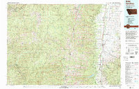 1980 Hamilton1997 Print · USGSThe Bitterroot Valley in the 1980s was a landscape of river-fed towns and mountain wilderness along the Idaho-Montana border. Genealogists and historians can trace the developments of Hamilton, Woodside, and Grantsdale or locate high-altitude landmarks like Gash Point.2 unique versions available
 - 1998 Map of Hamilton South, 2002 Print
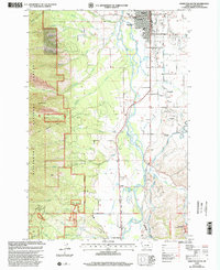 1998 Hamilton South2002 Print · USGSThe Bitterroot River valley south of Hamilton shows a landscape shaped by irrigation and mountain timber near the millennium. Researchers can trace historical school sites like Jefferson Sch and the development of local water works such as the Republican Ditch and Grantsdale Canal.
 - 2011 Map of Hamilton South, 2011 Print
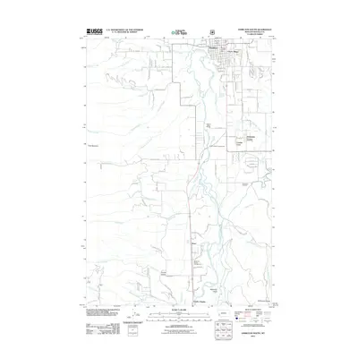 2011 Hamilton South2011 Print · USGSThe Bitterroot River valley south of Hamilton shows its modern residential and agricultural character in the early 21st century. Researchers can locate the Grantsdale Cemetery, the Grantsdale Post Office, and recreational sites like Anglers Roost Campground.
 - 2014 Map of Hamilton South, 2014 Print
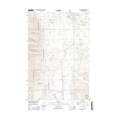 2014 Hamilton South2014 Print · USGSThe Bitterroot Valley south of Hamilton comes into focus during this mid-2010s survey, showing the transition from city streets to the forest edge. Researchers can trace local heritage through the Grantsdale Cemetery or explore the drainage basins of Sleeping Child Creek and Roaring Lion Creek.
 - 2017 Map of Hamilton South, 2017 Print
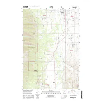 2017 Hamilton South2017 Print · USGSThe Bitterroot valley south of Hamilton shows a maturing landscape of rural settlements and forest boundaries in the 2010s. Researchers can locate the Grantsdale Cem and trace drainage patterns along Sleeping Child Cr and Roaring Lion Cr.
 - 2020 Map of Hamilton South, 2020 Print
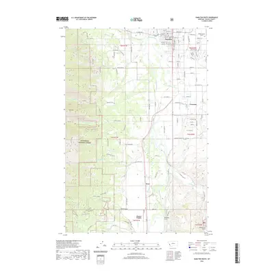 2020 Hamilton South2020 Print · USGSThe Bitterroot Valley comes into sharp focus here during the early twenty-first century, showing the interface between the growing town of Hamilton and the high peaks of the Bitterroot National Forest. Researchers can trace local landmarks like the Grantsdale Cem, the Ravalli County Courthouse, and the winding course of Skalkaho Cr.
 - 2024 Map of Hamilton South, 2024 Print
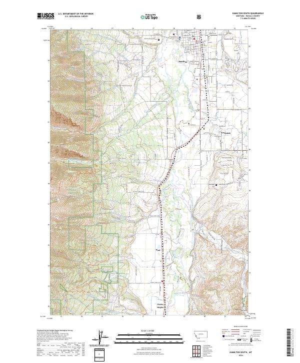 2024 Hamilton South2024 Print · USGSThe Bitterroot Valley comes alive in this survey of the region south of the Ravalli county seat. Local researchers can trace property lines near the Ravalli County Courthouse, locate family plots at Riverview Cem, and explore the canyon mouths of Roaring Lion Creek.
End of results
Showing maps 1-13 of 13
Top cities near Ward
Frequently asked questions
- What are the different types of historical maps available for Ward?
- What is the oldest map of Ward?
- Where can I purchase historical maps of Ward for my home or office?
- Where can I download high-res historical maps of Ward?
- Are there historical topographic maps available for Ward?
- Is there historical aerial imagery available for Ward?
- Where are historical maps of Ward sourced from?