Old Maps of Biem, Brockton District
Explore 11 old maps of Biem, spanning from 1909 to today. These high-resolution historic maps reveal how streets, neighborhoods, landmarks, and natural features evolved over time — perfect for genealogy, metal detecting, research, and local history exploration.
What you can do with these maps:
- See how Biem changed over time: Compare historical maps to modern-day views to trace roads, homesites, rail lines & more.
- View detailed metadata: Each map includes creators, publishers, year, scale, and archive source.
- Overlay maps with satellite & LiDAR: Visualize the past alongside modern tools to explore terrain & human change.
- Trusted historical sources: Maps sourced from the USGS, Library of Congress, and other archives.
- Access maps your way: View online, download high-res files, or order prints for personal or research use.
Start exploring old maps of Biem to uncover forgotten places, hidden landmarks, and the deep history beneath your feet.
Biem, Brockton District maps
(11)- 1909 Map of Smoke Creek, 1964 Print
 1909 Smoke Creek1964 Print · USGSNortheastern Montana was still an expansive frontier at the turn of the century, dominated by the Fort Peck Indian Reservation. Researchers can trace early land use and water sources through the West Ranch and the winding course of Smoke Creek.
 - 1912 Map of Smoke Creek
 1912 Smoke Creek1912 Print · USGSThe eastern reaches of the Fort Peck Indian Reservation are captured here in the years following the turn of the century. Genealogists and researchers can trace the early livestock era at Wests Ranch or the natural hydrology of Smoke Creek and Manning Lake.
 - 1954 Map of Wolf Point, 1967 Print
 1954 Wolf Point1967 Print · USGSNortheastern Montana and the North Dakota borderlands are shown here in the mid-fifties, dominated by the Missouri River and the Fort Peck Indian Reservation. Genealogists and historians can trace the Great Northern rail line through river towns like Poplar and Culbertson or locate northern border outposts like the U S Custom Office at Raymond.2 unique versions available
 - 1958 Map of Wolf Point
 1958 Wolf Point1958 Print · USGSNortheastern Montana is shown during the mid-fifties, featuring the extensive Fort Peck Indian Reservation and the Missouri River valley. Researchers can trace the Great Northern railroad through Wolf Point or locate sites like Slab Crossing and the Coal Mine near Medicine Lake.
 - 1982 Map of Culbertson, 1983 Print
 1982 Culbertson1983 Print · USGSNortheastern Montana at the start of the 1980s reveals a high-plains landscape defined by the Missouri River and the rail lines that served its valley. Genealogists and researchers can trace the townships surrounding Culbertson, Bainville, and the Fort Union Trading Post.
 - 1983 Map of Beam School
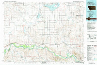
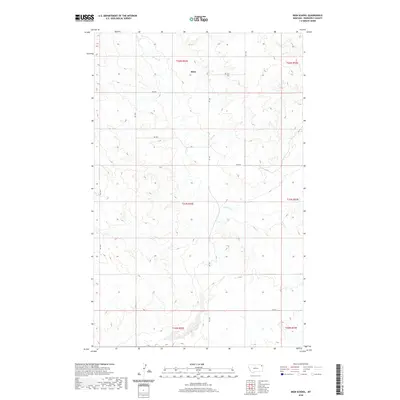
 1983 Beam School1983 Print · USGSIn the early eighties, this portion of Roosevelt County remained a landscape of isolated homesteads and prairie schools. Researchers can trace rural landmarks like Beam School and the meandering path of Smoke Creek through the Fort Peck Indian Reservation.
 - 2011 Map of Biem School, 2011 Print
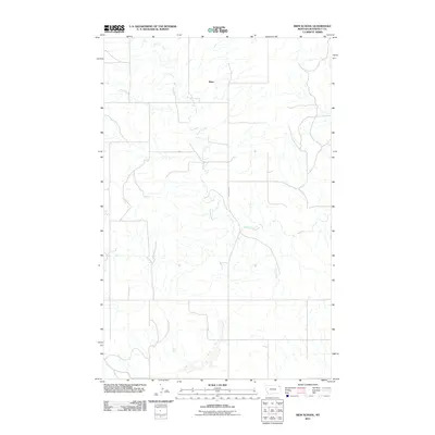 2011 Biem School2011 Print · USGSCovers Biem, including Brockton District, Roosevelt County, and other nearby areas
 - 2014 Map of Biem School, 2014 Print
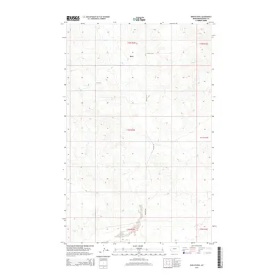 2014 Biem School2014 Print · USGSCovers Biem, including Brockton District, Roosevelt County, and other nearby areas
 - 2017 Map of Biem School, 2017 Print
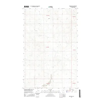 2017 Biem School2017 Print · USGSCovers Biem, including Brockton District, Roosevelt County, and other nearby areas
 - 2020 Map of Biem School, 2020 Print
 2020 Biem School2020 Print · USGSCovers Biem, including Brockton District, Roosevelt County, and other nearby areas
 - 2024 Map of Biem School, 2024 Print
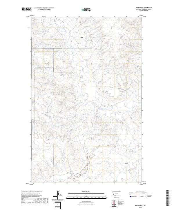 2024 Biem School2024 Print · USGSRoosevelt County's high plains are documented here in the modern era, showing the enduring grid of the American West. Trace the drainage of Smoke Creek and locate the site of Biem amidst a network of section-line roads like RD 1041 and RD 2036.
End of results
Showing maps 1-11 of 11
Top cities near Biem
Frequently asked questions
- What are the different types of historical maps available for Biem?
- What is the oldest map of Biem?
- Where can I purchase historical maps of Biem for my home or office?
- Where can I download high-res historical maps of Biem?
- Are there historical topographic maps available for Biem?
- Is there historical aerial imagery available for Biem?
- Where are historical maps of Biem sourced from?