Old Maps of Ashland, Ashland District for Hiking & Exploration
Hike through history with 11 historic maps of Ashland. Explore old trails, ghost towns, and forgotten backroads — perfect for outdoor adventurers and local explorers.
- Rediscover forgotten places: Map out old mining camps, roads, and footpaths that no longer exist on modern maps.
- Layer with modern tools: Combine with LiDAR or satellite views to plan hikes through historical terrain.
- Made for exploration: Popular among hikers, overlanders, and local history lovers.
Use these maps to find adventure and explore the hidden past of Ashland.
Ashland, Ashland District maps
(11)- 1954 Map of Hardin, 1964 Print
 1954 Hardin1964 Print · USGSSoutheastern Montana is documented here during the mid-fifties, showing the vast tribal lands and historic battle sites before modern highway expansion. Researchers can trace the Chicago Burlington and Quincy rail line through Hardin or locate the Custer National Cemetery and Museum.2 unique versions available
 - 1957 Map of Hardin
 1957 Hardin1957 Print · USGSSoutheastern Montana in the mid-fifties reveals a landscape shaped by tribal lands and the historic Bighorn river valleys. Researchers can trace the Chicago Burlington and Quincy RR through Hardin and locate the National Cemetery and Custer Battlefield Monument.
 - 1958 Map of Hardin
 1958 Hardin1958 Print · USGSSoutheastern Montana in the mid-fifties presents a landscape defined by significant tribal lands and national monuments. Researchers can trace the geography of the Little Bighorn at Custer Battlefield National Monument and locate settlements like Lame Deer and Birney.
 - 1966 Map of Ashland, 1969 Print
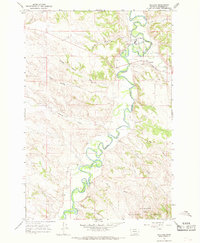 1966 Ashland1969 Print · USGSThe Tongue River valley in the mid-1960s reveals the intersection of reservation life and forest management near the Rosebud County line. Genealogists and local historians can trace the grounds of the St Labre Mission, the streets of Ashland, and the Ranger Sta in the national forest.3 unique versions available
 - 1980 Map of Lame Deer
 1980 Lame Deer1980 Print · USGSHigh plains ranching and coal mining define this corner of Montana as the eighties began. Researchers can trace the rail lines of the Burlington Northern and locate sites like Colstrip, Jimtown, and the Big Sky Strip Mine.
 - 1995 Map of Ashland, 1998 Print
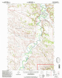 1995 Ashland1998 Print · USGSThe Tongue River valley in the mid-1990s reveals a unique intersection of tribal lands and national forest near Ashland, Montana. Researchers can trace the grounds of the St Labre Mission and explore the rugged coulees of the Northern Cheyenne Indian Reservation.
 - 2011 Map of Ashland, 2011 Print
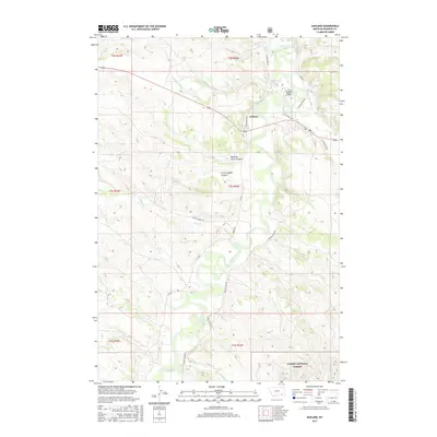
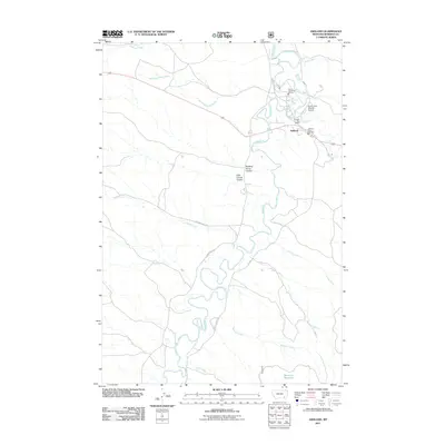 2011 Ashland2011 Print · USGSCovers Ashland, including Ashland District, Rosebud County, and other nearby areas
 - 2014 Map of Ashland, 2014 Print
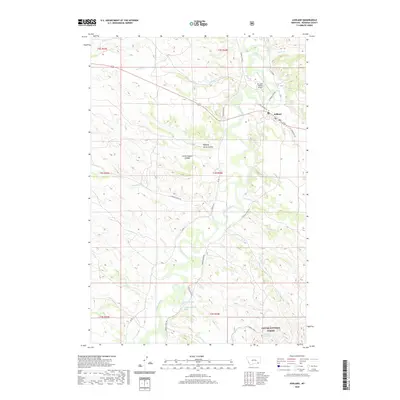
 2014 Ashland2014 Print · USGSCovers Ashland, including Ashland District, Rosebud County, and other nearby areas
 - 2017 Map of Ashland, 2017 Print
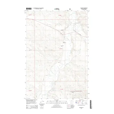
 2017 Ashland2017 Print · USGSCovers Ashland, including Ashland District, Rosebud County, and other nearby areas
 - 2020 Map of Ashland, 2020 Print
 2020 Ashland2020 Print · USGSCovers Ashland, including Ashland District, Rosebud County, and other nearby areas
 - 2024 Map of Ashland, 2024 Print
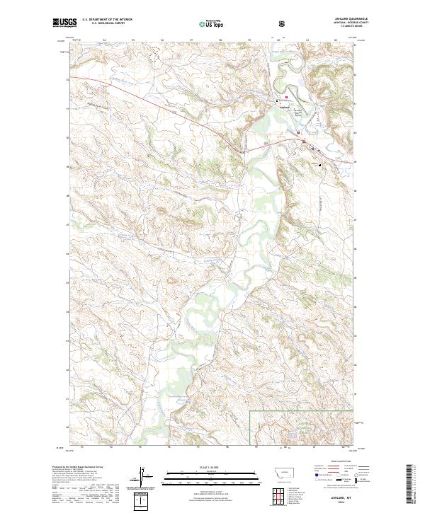 2024 Ashland2024 Print · USGSAshland and the Saint Labre Mission are centered along the Tongue River in this recent survey of Rosebud County. Researchers can locate family landmarks like the Ashland Cem, Saint Labre Cem, and the historic Saint Labre Mission.
End of results
Showing maps 1-11 of 11
Frequently asked questions
- What are the different types of historical maps available for Ashland?
- What is the oldest map of Ashland?
- Where can I purchase historical maps of Ashland for my home or office?
- Where can I download high-res historical maps of Ashland?
- Are there historical topographic maps available for Ashland?
- Is there historical aerial imagery available for Ashland?
- Where are historical maps of Ashland sourced from?