Old Maps of Vananda, Montana for Metal Detecting
Plan your next treasure hunt with 11 historic maps of Vananda. Find old homesites, ghost towns, trails, and gathering spots that may be lost to time — perfect for identifying promising metal detecting locations.
- Locate forgotten sites: Uncover places like long-lost settlements, abandoned rail lines, or gathering spots.
- Plan better hunts: Use map overlays combined with LiDAR or satellite views to narrow in on historically rich areas.
- Made for detectorists: Thousands of hobbyists use these maps to discover relics, coins, and hidden history.
Use these historic maps to boost your research and find new opportunities beneath the surface of Vananda.
Vananda, MT maps
(11)- 1954 Map of Forsyth, 1966 Print
 1954 Forsyth1966 Print · USGSThe Yellowstone River valley and the northern high plains are captured here in the mid-1950s during a period of expanding energy and rail infrastructure. Genealogists and historians can trace rail sidings and cattle-country outposts like Ingomar, Vananda, and Angela.3 unique versions available
 - 1957 Map of Forsyth
 1957 Forsyth1957 Print · USGSSouth-central Montana in the late fifties is captured here through its dual-river geography and emergent energy economy. Researchers can trace the path of the Northern Pacific through Forsyth, locate the Ragged Point Oil Field, and find early sidings like Ahles Siding.
 - 1958 Map of Forsyth
 1958 Forsyth1958 Print · USGSMid-century Montana comes alive along the Yellowstone River and the competing transcontinental rail lines. Local historians can trace the legacy of the Northern Pacific through Forsyth or explore early oil developments at the Ragged Point Oil Field.
 - 1960 Map of Vananda, 1962 Print
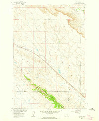 1960 Vananda1962 Print · USGSRailroad operations and ranching life intersect in the high plains of Rosebud and Treasure Counties at the dawn of the sixties. Genealogists and rail historians can trace the Milwaukee Road through Vananda and identify old Prospects along Cedar Ridge.2 unique versions available
 - 1979 Map of Hysham
 1979 Hysham1979 Print · USGSBig Sky cattle country and river-fed valleys define this 1970s Montana landscape at the junction of two major rivers. Genealogists and historians can trace rail-side towns like Hysham, Myers, and Sanders, or locate family landmarks near Pease Bottom and Bull Mtn.
 - 1983 Map of Forsyth
 1983 Forsyth1983 Print · USGSEastern Montana's high plains and river valleys come into focus in the early eighties as the rail-and-ranching economy centered on the Yellowstone River. Researchers can trace the development of small rail towns like Hysham, Angela, and Ingomar alongside the Burlington Northern line.
 - 2011 Map of Vananda, 2011 Print
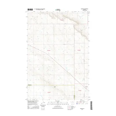
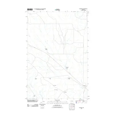 2011 Vananda2011 Print · USGSCovers Vananda, including Rosebud County, Treasure County, and other nearby areas
 - 2014 Map of Vananda, 2014 Print
 2014 Vananda2014 Print · USGSCovers Vananda, including Rosebud County, Treasure County, and other nearby areas
 - 2017 Map of Vananda, 2017 Print
 2017 Vananda2017 Print · USGSCovers Vananda, including Rosebud County, Treasure County, and other nearby areas
 - 2020 Map of Vananda, 2020 Print
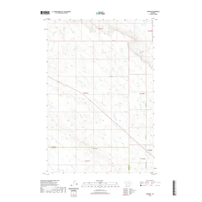 2020 Vananda2020 Print · USGSCovers Vananda, including Rosebud County, Treasure County, and other nearby areas
 - 2024 Map of Vananda, 2024 Print
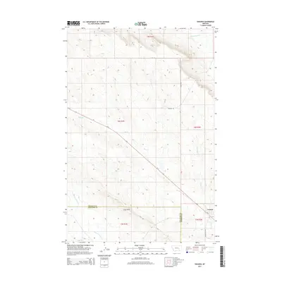
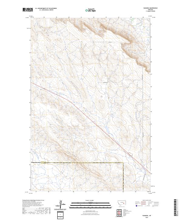 2024 Vananda2024 Print · USGSEastern Montana's high plains are captured here in the contemporary era, showing the intersection of Rosebud and Treasure Counties. Researchers can trace the rugged drainage patterns of Big Porcupine Creek and find the distinctive heights of Cedar Ridge.
End of results
Showing maps 1-11 of 11
Top cities near Vananda
Frequently asked questions
- What are the different types of historical maps available for Vananda?
- What is the oldest map of Vananda?
- Where can I purchase historical maps of Vananda for my home or office?
- Where can I download high-res historical maps of Vananda?
- Are there historical topographic maps available for Vananda?
- Is there historical aerial imagery available for Vananda?
- Where are historical maps of Vananda sourced from?