Old Maps of Dagmar, Montana for Hiking & Exploration
Hike through history with 9 historic maps of Dagmar. Explore old trails, ghost towns, and forgotten backroads — perfect for outdoor adventurers and local explorers.
- Rediscover forgotten places: Map out old mining camps, roads, and footpaths that no longer exist on modern maps.
- Layer with modern tools: Combine with LiDAR or satellite views to plan hikes through historical terrain.
- Made for exploration: Popular among hikers, overlanders, and local history lovers.
Use these maps to find adventure and explore the hidden past of Dagmar.
Dagmar, MT maps
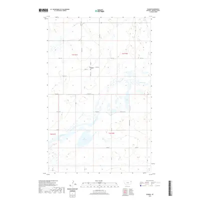
(9)- 1946 Map of Dagmar, 1976 Print
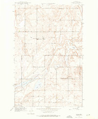 1946 Dagmar1976 Print · USGSSheridan County farming communities are captured here in the mid-1940s, highlighting a landscape of rural schoolhouses and water conservation. Genealogists can trace family footprints near Dagmar or locate landmarks like Hans Christian Andersen Sch and Volmer Ch.2 unique versions available
 - 1948 Map of Dagmar
 1948 Dagmar1948 Print · USGSSheridan County, Montana, was a landscape of prairie schools and migratory wetlands in the years following World War II. Local researchers can pinpoint the exact locations of rural landmarks like Volmer Ch, Dagmar, and the Hans Christian Andersen Sch.
 - 1954 Map of Wolf Point, 1967 Print
 1954 Wolf Point1967 Print · USGSNortheastern Montana and the North Dakota borderlands are shown here in the mid-fifties, dominated by the Missouri River and the Fort Peck Indian Reservation. Genealogists and historians can trace the Great Northern rail line through river towns like Poplar and Culbertson or locate northern border outposts like the U S Custom Office at Raymond.2 unique versions available
 - 1958 Map of Wolf Point
 1958 Wolf Point1958 Print · USGSNortheastern Montana is shown during the mid-fifties, featuring the extensive Fort Peck Indian Reservation and the Missouri River valley. Researchers can trace the Great Northern railroad through Wolf Point or locate sites like Slab Crossing and the Coal Mine near Medicine Lake.
 - 2011 Map of Dagmar, 2011 Print
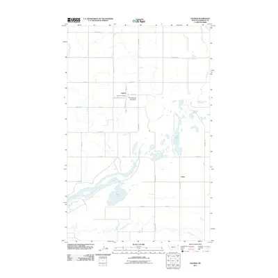 2011 Dagmar2011 Print · USGSCovers Dagmar, including Volmer, Sheridan County, and other nearby areas
 - 2014 Map of Dagmar, 2014 Print
 2014 Dagmar2014 Print · USGSCovers Dagmar, including Volmer, Sheridan County, and other nearby areas
 - 2017 Map of Dagmar, 2017 Print
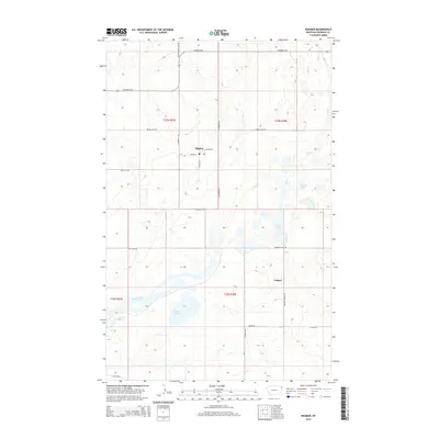
 2017 Dagmar2017 Print · USGSCovers Dagmar, including Volmer, Sheridan County, and other nearby areas
 - 2020 Map of Dagmar, 2020 Print
 2020 Dagmar2020 Print · USGSCovers Dagmar, including Volmer, Sheridan County, and other nearby areas
 - 2024 Map of Dagmar, 2024 Print
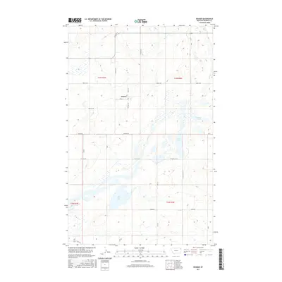
 2024 Dagmar2024 Print · USGSSheridan County's high prairie comes into focus in this recent survey, centered on the rural community of Dagmar. Researchers can trace the extensive wetlands of the Medicine Lake National Wildlife Refuge and find landmarks like Brush Lake and Mallard Pond.
End of results
Showing maps 1-9 of 9
Frequently asked questions
- What are the different types of historical maps available for Dagmar?
- What is the oldest map of Dagmar?
- Where can I purchase historical maps of Dagmar for my home or office?
- Where can I download high-res historical maps of Dagmar?
- Are there historical topographic maps available for Dagmar?
- Is there historical aerial imagery available for Dagmar?
- Where are historical maps of Dagmar sourced from?