Old Maps of Kippen, Montana for Metal Detecting
Plan your next treasure hunt with 10 historic maps of Kippen. Find old homesites, ghost towns, trails, and gathering spots that may be lost to time — perfect for identifying promising metal detecting locations.
- Locate forgotten sites: Uncover places like long-lost settlements, abandoned rail lines, or gathering spots.
- Plan better hunts: Use map overlays combined with LiDAR or satellite views to narrow in on historically rich areas.
- Made for detectorists: Thousands of hobbyists use these maps to discover relics, coins, and hidden history.
Use these historic maps to boost your research and find new opportunities beneath the surface of Kippen.
Kippen, MT maps
(10)- 1943 Map of Antelope Coulee, 1945 Print
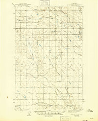 1943 Antelope Coulee1945 Print · USGSToole County ranching life is documented here during the mid-forties, showing a landscape shaped by drainage coulees and the grid of the Principal Meridian. Genealogists can locate family landmarks such as Frandsen Ranch, Bennett Ranch, and the Fairview Sch.2 unique versions available
 - 1954 Map of Shelby, 1967 Print
 1954 Shelby1967 Print · USGSNorthern Montana's Hi-Line is captured in the mid-fifties, showing a landscape shaped by the Great Northern rail and early oil development. Trace family roots in Shelby and Conrad, or locate rural landmarks like Goose Bill Butte and the Rocky Boys Indian Reservation.3 unique versions available
 - 1958 Map of Shelby
 1958 Shelby1958 Print · USGSNorthern Montana’s high plains and the Sweetgrass Hills come to life in the late fifties as the Tiber Dam begins to reshape the Marias River valley. Genealogists and historians can trace rail-town lineages along the Great Northern line and locate sites like the Hull Coal Mine or Sweet Grass.
 - 1984 Map of Sweet Grass Hills
 1984 Sweet Grass Hills1984 Print · USGSThe High Plains of Toole County meet the Canadian border in the early eighties, showcasing a landscape of isolated buttes and essential water coulees. Researchers can trace the Burlington Northern line through Sunburst or locate the Mt Dermott Mine tucked into West Butte.
 - 1986 Map of Johannson Coulee
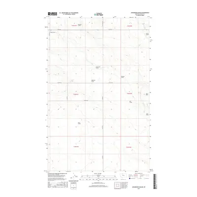
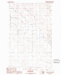 1986 Johannson Coulee1986 Print · USGSKippen and the surrounding high plains of Toole County are captured in the mid-eighties as a landscape of wide flats and deep coulees. Researchers can trace land use patterns near Black Butte and the winding paths of Ninemile Coulee and Johannson Coulee.
 - 2011 Map of Johannson Coulee, 2011 Print
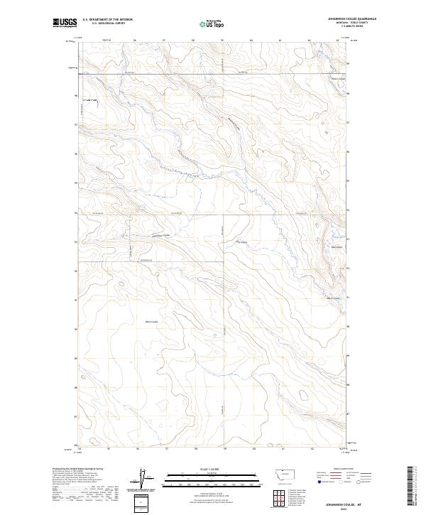
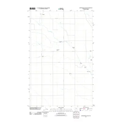 2011 Johannson Coulee2011 Print · USGSCovers Kippen, including Toole County, United States, and other nearby areas
 - 2014 Map of Johannson Coulee, 2014 Print
 2014 Johannson Coulee2014 Print · USGSCovers Kippen, including Toole County, United States, and other nearby areas
 - 2017 Map of Johannson Coulee, 2017 Print
 2017 Johannson Coulee2017 Print · USGSCovers Kippen, including Toole County, United States, and other nearby areas
 - 2020 Map of Johannson Coulee, 2020 Print
 2020 Johannson Coulee2020 Print · USGSCovers Kippen, including Toole County, United States, and other nearby areas
 - 2024 Map of Johannson Coulee, 2024 Print
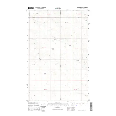
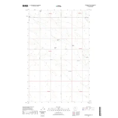
 2024 Johannson Coulee2024 Print · USGSNorthern Toole County plains are mapped here in the early twenty-first century, showcasing a landscape carved by intricate coulee systems. Researchers can trace land access along Telstad Rd and identify natural landmarks like Black Butte and Johannson Coulee.
End of results
Showing maps 1-10 of 10
Top cities near Kippen
Frequently asked questions
- What are the different types of historical maps available for Kippen?
- What is the oldest map of Kippen?
- Where can I purchase historical maps of Kippen for my home or office?
- Where can I download high-res historical maps of Kippen?
- Are there historical topographic maps available for Kippen?
- Is there historical aerial imagery available for Kippen?
- Where are historical maps of Kippen sourced from?