Old Maps of Carlyle, Montana
Explore 11 old maps of Carlyle, spanning from 1953 to today. These high-resolution historic maps reveal how streets, neighborhoods, landmarks, and natural features evolved over time — perfect for genealogy, metal detecting, research, and local history exploration.
What you can do with these maps:
- See how Carlyle changed over time: Compare historical maps to modern-day views to trace roads, homesites, rail lines & more.
- View detailed metadata: Each map includes creators, publishers, year, scale, and archive source.
- Overlay maps with satellite & LiDAR: Visualize the past alongside modern tools to explore terrain & human change.
- Trusted historical sources: Maps sourced from the USGS, Library of Congress, and other archives.
- Access maps your way: View online, download high-res files, or order prints for personal or research use.
Start exploring old maps of Carlyle to uncover forgotten places, hidden landmarks, and the deep history beneath your feet.
Carlyle, MT maps
(11)- 1953 Map of Miles City, 1966 Print
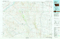
 1953 Miles City1966 Print · USGSEastern Montana and the North Dakota borderlands come alive in this mid-century survey of the Yellowstone River valley. Genealogists and historians can trace the rural network of the era through sites like Fertile Prairie School, St Johns Church, and the rail lines serving Ismay and Plevna.4 unique versions available
 - 1957 Map of Miles City
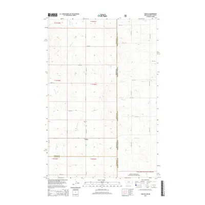
 1957 Miles City1957 Print · USGSEastern Montana and the North Dakota borderlands come alive in the mid-fifties as the rail and ranching economy peaks along the Yellowstone River. Genealogists and historians can trace numerous rural landmarks like St Phillips Church, Fertile Prairie School, and the Ostendorf Ranch.
 - 1958 Map of Miles City
 1958 Miles City1958 Print · USGSEastern Montana ranching and rail life are documented here during the late fifties, centered on the confluence of the Yellowstone River and Powder River. Researchers can trace rural school locations like St Phillips Church and Chimney Creek School alongside dozens of named family ranches.
 - 1981 Map of Carlyle
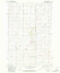 1981 Carlyle1981 Print · USGSThe Montana-North Dakota borderlands are captured here in the early 1980s, centered on the railroad crossing at Carlyle. Genealogists and historians can trace local development through the Burlington Northern line and the settlement at Williams.
 - 1981 Map of Wibaux, 1982 Print
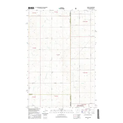
 1981 Wibaux1982 Print · USGSThe Montana and North Dakota borderlands come into focus in the early 1980s, showcasing a landscape shaped by the BURLINGTON NORTHERN railroad and the Yellowstone River. Researchers can trace the rail corridor through Wibaux and Yates or locate isolated landmarks like Graveyard Hill and Johnstone Dam.
 - 1997 Map of Carlyle, 2001 Print
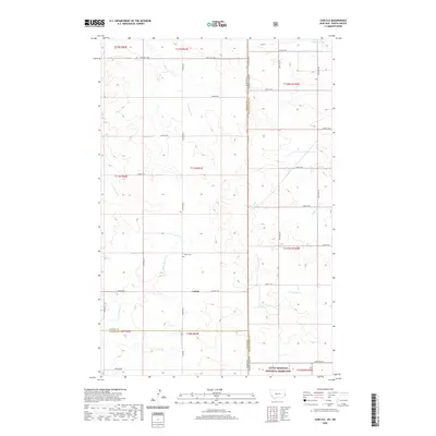
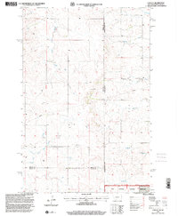 1997 Carlyle2001 Print · USGSThe high plains along the Montana-North Dakota border come into focus in the late 1990s as ranching and energy infrastructure intersect. Genealogists can locate the town of Carlyle and its nearby Cem, while tracing watercourses like Bullion Creek and Lame Steer Creek.
 - 2011 Map of Carlyle, 2011 Print
 2011 Carlyle2011 Print · USGSCovers Carlyle, including Lone Tree Township, Fallon County, and other nearby areas
 - 2014 Map of Carlyle, 2014 Print
 2014 Carlyle2014 Print · USGSCovers Carlyle, including Lone Tree Township, Fallon County, and other nearby areas
 - 2017 Map of Carlyle, 2017 Print
 2017 Carlyle2017 Print · USGSCovers Carlyle, including Lone Tree Township, Fallon County, and other nearby areas
 - 2020 Map of Carlyle, 2020 Print
 2020 Carlyle2020 Print · USGSCovers Carlyle, including Lone Tree Township, Fallon County, and other nearby areas
 - 2024 Map of Carlyle, 2024 Print
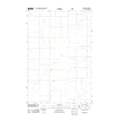
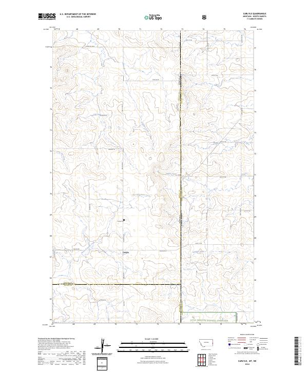 2024 Carlyle2024 Print · USGSThe Montana and North Dakota borderlands near the settlement of Carlyle are shown here as they appear today. Researchers can trace family history at the Carlyle Cem or follow the winding courses of East Fork Beaver Creek and Bullion Creek.
End of results
Showing maps 1-11 of 11
Top cities near Carlyle
Frequently asked questions
- What are the different types of historical maps available for Carlyle?
- What is the oldest map of Carlyle?
- Where can I purchase historical maps of Carlyle for my home or office?
- Where can I download high-res historical maps of Carlyle?
- Are there historical topographic maps available for Carlyle?
- Is there historical aerial imagery available for Carlyle?
- Where are historical maps of Carlyle sourced from?