Old Maps of Indian Arrow, Montana for Hiking & Exploration
Hike through history with 12 historic maps of Indian Arrow. Explore old trails, ghost towns, and forgotten backroads — perfect for outdoor adventurers and local explorers.
- Rediscover forgotten places: Map out old mining camps, roads, and footpaths that no longer exist on modern maps.
- Layer with modern tools: Combine with LiDAR or satellite views to plan hikes through historical terrain.
- Made for exploration: Popular among hikers, overlanders, and local history lovers.
Use these maps to find adventure and explore the hidden past of Indian Arrow.
Indian Arrow, MT maps
(12)- 1893 Map of Huntley
 1893 Huntley1893 Print · USGSThe Yellowstone River valley and the Crow Indian Reservation dominate this late nineteenth-century Montana landscape. Genealogists and researchers can trace the early rail corridor of the Northern Pacific Railroad through Huntley and the station at Clermont.6 unique versions available
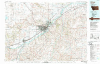
 - 1954 Map of Billings, 1963 Print
 1954 Billings1963 Print · USGSThe Yellowstone valley during the mid-fifties shows a landscape of thriving rail towns and high-mountain outposts. Genealogists and historians can trace old homesteads and mining routes near Red Lodge, Bearcreek, and along the Bighorn River.4 unique versions available
 - 1957 Map of Billings
 1957 Billings1957 Print · USGSThe Yellowstone River valley and the rugged Beartooth Mountains meet in the mid-1950s near the growing hub of Billings. Genealogists and researchers can trace rail and ranching history through river towns like Columbus, the mining heritage of Red Lodge, and the vast Crow Indian Reservation.
 - 1958 Map of Billings
 1958 Billings1958 Print · USGSMid-century Montana comes alive in this survey of the Yellowstone Valley as the regional rail and road networks reached their peak. Trace family roots and old routes near Billings, the Crow Indian Reservation, and the heights of the Beartooth Mountains.2 unique versions available
 - 1969 Map of Indian Arrow, 1972 Print
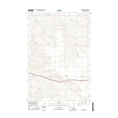
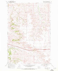 1969 Indian Arrow1972 Print · USGSYellowstone County in the late sixties shows a landscape defined by the Crow Indian Reservation Boundary and the Indian Base Line. Researchers can trace the path of Squaw Creek Road or locate historical markers like the Oil Well and Huntley high point.2 unique versions available
 - 1989 Map of Billings
 1989 Billings1989 Print · USGSThe Billings area in the late eighties shows a major regional hub at the height of its rail and river influence. Genealogists and historians can trace the development of outlying towns like Worden and Park City or the boundaries of the Crow Indian Reservation.
 - 2011 Map of Indian Arrow, 2011 Print
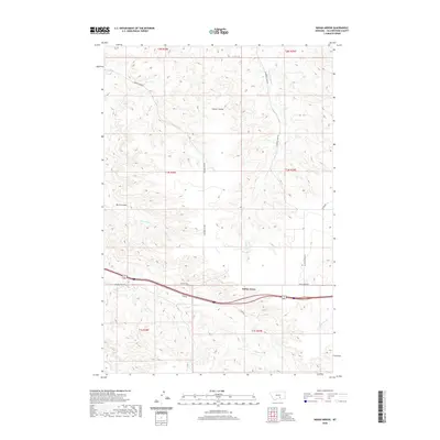
 2011 Indian Arrow2011 Print · USGSCovers Indian Arrow, including Yellowstone County, United States, and other nearby areas
 - 2014 Map of Indian Arrow, 2014 Print
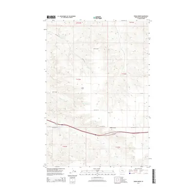 2014 Indian Arrow2014 Print · USGSCovers Indian Arrow, including Yellowstone County, United States, and other nearby areas
 - 2017 Map of Indian Arrow, 2017 Print
 2017 Indian Arrow2017 Print · USGSCovers Indian Arrow, including Yellowstone County, United States, and other nearby areas
 - 2020 Map of Indian Arrow, 2020 Print
 2020 Indian Arrow2020 Print · USGSCovers Indian Arrow, including Yellowstone County, United States, and other nearby areas
 - 2023 Map of Indian Arrow, 2023 Print
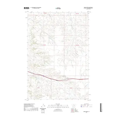 2023 Indian Arrow2023 Print · USGSCovers Indian Arrow, including Yellowstone County, United States, and other nearby areas
 - 2024 Map of Indian Arrow, 2024 Print
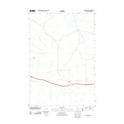
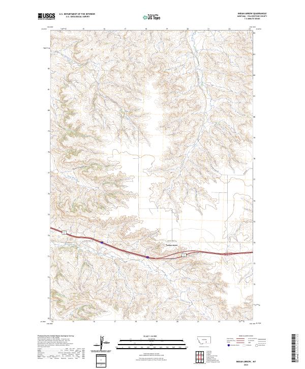 2024 Indian Arrow2024 Print · USGSYellowstone County is seen here in a modern survey that captures the rural character of its central Montana plains. Researchers can trace the drainage of Indian Creek and the settlement of Indian Arrow along the winding paths of W Arrow Creek Rd.
End of results
Showing maps 1-12 of 12
Frequently asked questions
- What are the different types of historical maps available for Indian Arrow?
- What is the oldest map of Indian Arrow?
- Where can I purchase historical maps of Indian Arrow for my home or office?
- Where can I download high-res historical maps of Indian Arrow?
- Are there historical topographic maps available for Indian Arrow?
- Is there historical aerial imagery available for Indian Arrow?
- Where are historical maps of Indian Arrow sourced from?