Old Maps of Forsyth County, North Carolina
Explore 47 old maps of Forsyth County, spanning from 1891 to today. These high-resolution historic maps reveal how streets, neighborhoods, landmarks, and natural features evolved over time — perfect for genealogy, metal detecting, research, and local history exploration.
What you can do with these maps:
- See how Forsyth County changed over time: Compare historical maps to modern-day views to trace roads, homesites, rail lines & more.
- View detailed metadata: Each map includes creators, publishers, year, scale, and archive source.
- Overlay maps with satellite & LiDAR: Visualize the past alongside modern tools to explore terrain & human change.
- Trusted historical sources: Maps sourced from the USGS, Library of Congress, and other archives.
- Access maps your way: View online, download high-res files, or order prints for personal or research use.
Start exploring old maps of Forsyth County to uncover forgotten places, hidden landmarks, and the deep history beneath your feet.
Forsyth County, NC maps
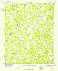
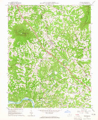
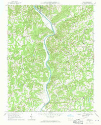
(47)- 1891 Map of Yadkinville, 1964 Print
 1891 Yadkinville1964 Print · USGSCovers Forsyth County, including Mount Airy, Yadkinville, and other nearby areas
 - 1893 Map of Yadkinville, 1944 Print
 1893 Yadkinville1944 Print · USGSCovers Forsyth County, including Mount Airy, Yadkinville, and other nearby areas
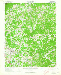
 - 1949 Map of Eller, 1952 Print
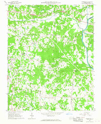
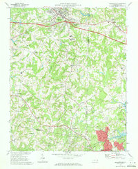
 1949 Eller1952 Print · USGSCovers Forsyth County, including Winston-Salem, Thomasville, and other nearby areas2 unique versions available
 - 1950 Map of Winston-Salem West, 1965 Print
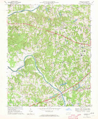
 1950 Winston-Salem West1965 Print · USGSCovers Forsyth County, including Winston-Salem, Clemmons, and other nearby areas4 unique versions available
 - 1950 Map of Winston-Salem East, 1965 Print
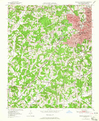
 1950 Winston-Salem East1965 Print · USGSCovers Forsyth County, including Winston-Salem, Kernersville, and other nearby areas5 unique versions available
 - 1951 Map of Winston-Salem West
 1951 Winston-Salem West1951 Print · USGSCovers Forsyth County, including Winston-Salem, Clemmons, and other nearby areas
 - 1951 Map of Winston-Salem East
 1951 Winston-Salem East1951 Print · USGSCovers Forsyth County, including Winston-Salem, Kernersville, and other nearby areas
 - 1951 Map of Rural Hall, 1952 Print
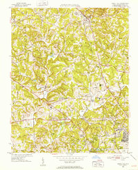 1951 Rural Hall1952 Print · USGSCovers Forsyth County, including Winston-Salem, Rural Hall, and other nearby areas4 unique versions available
 - 1951 Map of Walkertown, 1953 Print
 1951 Walkertown1953 Print · USGSCovers Forsyth County, including Winston-Salem, Kernersville, and other nearby areas5 unique versions available
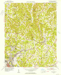
 - 1953 Map of Charlotte, 1968 Print
 1953 Charlotte1968 Print · USGSCovers Forsyth County, including Charlotte, Winston-Salem, and other nearby areas3 unique versions available
 - 1953 Map of Winston-Salem, 1974 Print
 1953 Winston-Salem1974 Print · USGSCovers Forsyth County, including Greensboro, Winston-Salem, and other nearby areas2 unique versions available
 - 1954 Map of Charlotte
 1954 Charlotte1954 Print · USGSCovers Forsyth County, including Charlotte, Winston-Salem, and other nearby areas2 unique versions available
 - 1955 Map of Winston-Salem
 1955 Winston-Salem1955 Print · USGSCovers Forsyth County, including Greensboro, Winston-Salem, and other nearby areas
 - 1960 Map of Charlotte
 1960 Charlotte1960 Print · USGSCovers Forsyth County, including Charlotte, Winston-Salem, and other nearby areas2 unique versions available
 - 1962 Map of Winston-Salem
 1962 Winston-Salem1962 Print · USGSCovers Forsyth County, including Greensboro, Winston-Salem, and other nearby areas
 - 1962 Map of Charlotte
 1962 Charlotte1962 Print · USGSCovers Forsyth County, including Charlotte, Winston-Salem, and other nearby areas
 - 1964 Map of Pinnacle, 1965 Print
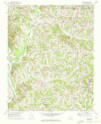
 1964 Pinnacle1965 Print · USGSCovers Forsyth County, including Pilot Mountain, King, and other nearby areas4 unique versions available
 - 1964 Map of King, 1965 Print
 1964 King1965 Print · USGSCovers Forsyth County, including King, Bannertown, and other nearby areas3 unique versions available
 - 1966 Map of Farmington, 1967 Print
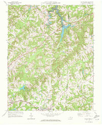
 1966 Farmington1967 Print · USGSCovers Forsyth County, including Wyo, Courtney, and other nearby areas2 unique versions available
 - 1968 Map of Clemmons, 1970 Print
 1968 Clemmons1970 Print · USGSCovers Forsyth County, including Winston-Salem, Clemmons, and other nearby areas3 unique versions available
 - 1968 Map of Vienna, 1970 Print
 1968 Vienna1970 Print · USGSCovers Forsyth County, including Winston-Salem, Lewisville, and other nearby areas2 unique versions available
 - 1969 Map of Kernersville, 1972 Print
 1969 Kernersville1972 Print · USGSCovers Forsyth County, including Greensboro, Winston-Salem, and other nearby areas3 unique versions available
 - 1969 Map of Welcome, 1972 Print
 1969 Welcome1972 Print · USGSCovers Forsyth County, including Winston-Salem, Welcome, and other nearby areas2 unique versions available
 - 1969 Map of Belews Creek, 1972 Print
 1969 Belews Creek1972 Print · USGSCovers Forsyth County, including Kernersville, Oak Ridge, and other nearby areas3 unique versions available
 - 1969 Map of Advance, 1972 Print
 1969 Advance1972 Print · USGSCovers Forsyth County, including Clemmons, Bermuda Run, and other nearby areas2 unique versions available
Showing maps 1-25 of 47
Top cities of Forsyth County
- Winston-Salem historical maps
- Kernersville historical maps
- Clemmons historical maps
- Lewisville historical maps
- Walkertown historical maps
- Rural Hall historical maps
See more
Frequently asked questions
- What are the different types of historical maps available for Forsyth County?
- What is the oldest map of Forsyth County?
- Where can I purchase historical maps of Forsyth County for my home or office?
- Where can I download high-res historical maps of Forsyth County?
- Are there historical topographic maps available for Forsyth County?
- Is there historical aerial imagery available for Forsyth County?
- Where are historical maps of Forsyth County sourced from?