Old Maps of Rounds Place, Nebraska for Academic Research
Study the evolution of Rounds Place with 12 high-resolution historic maps. Whether you're teaching, researching, or modeling changes in land use, these maps provide essential visual documentation of urban, environmental, and geographic change.
- Analyze long-term change: Track patterns in development, transportation, and natural features.
- Ideal for environmental or urban studies: Support academic projects with primary historical map data.
- Use in the classroom or lab: Educators and researchers rely on these maps to bring historical context to life.
These maps are a powerful tool for teaching, research, and visualizing how Rounds Place has changed over the decades.
Rounds Place, NE maps
(12)- 1949 Map of Arthur
 1949 Arthur1949 Print · USGSThe Arthur area of the Nebraska Sandhills is captured here during the post-war ranching boom. Genealogists can locate specific family outposts like the Dancer Ranch and Arnett Ranch, alongside several local one-room schoolhouses like Meadow View Sch.
 - 1950 Map of Arthur
 1950 Arthur1950 Print · USGSThe Nebraska Sandhills come into focus at mid-century, revealing a ranching landscape centered on the village of Arthur. Genealogists and historians can trace family-named landmarks like the Eymann Ranch and Anderberg Ranch or locate rural outposts like Meadow View Sch.2 unique versions available
 - 1954 Map of North Platte, 1968 Print
 1954 North Platte1968 Print · USGSThe Nebraska Sand Hills and the Platte River valley are captured here during a period of mid-century growth and agricultural expansion. Trace the vast irrigation network of the Sutherland Canal, locate old rural schoolhouses like Rose Hill School, and find family holdings such as Conrey Ranch.3 unique versions available
 - 1956 Map of North Platte
 1956 North Platte1956 Print · USGSThe Nebraska Sand Hills meet the high plains river valleys in the mid-1950s, a period of intensive water management and rail commerce. Genealogists and historians can trace early prairie settlements like Stapleton and Tryon, or follow the industrial corridor of the Union Pacific through North Platte.
 - 1957 Map of North Platte
 1957 North Platte1957 Print · USGSThe Nebraska Sand Hills and the Platte River valley are captured here in the mid-fifties as the ranching and irrigation economy matured. Genealogists and historians can locate family-named schoolhouses like Maire School or trace the railroad hubs at North Platte and the Fort McPherson National Cemetery.
 - 1967 Map of North Platte
 1967 North Platte1967 Print · USGSThe Nebraska Sand Hills and the Platte River valley meet in the 1960s, showing a landscape shaped by water management and rail. Genealogists can trace rural school districts like the Prairie Dell School or find landmarks like the Scott Lookout Tower and Geo P Kingsley Dam.
 - 1985 Map of Arthur
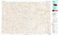 1985 Arthur1985 Print · USGSThe Nebraska Sandhills in the mid-1980s reveal a landscape of remote cattle ranches and hidden basins between Arthur and Hyannis. Genealogists and historians can trace family-named landmarks and private airfields like the Pioneer Ranch Landing Strip and Haythorn Lake.2 unique versions available
 - 1985 Map of Lightning Valley, 1986 Print
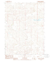 1985 Lightning Valley1986 Print · USGSArthur County ranching country is shown here in the mid-eighties as a series of isolated family operations. Genealogists and researchers can locate specific homesteads like Anderberg Ranch, Golden Ranch, and the Bar 91 Ranch.
 - 2011 Map of Lightning Valley, 2011 Print
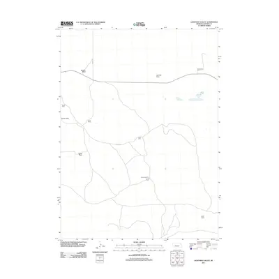 2011 Lightning Valley2011 Print · USGSArthur County ranching country is captured here during the early twenty-first century, showing a remote landscape of family-held lands. Genealogists and historians can locate specific homesteads including Enfield Ranch, Rounds Place, and Bar 91 Ranch.
 - 2014 Map of Lightning Valley, 2014 Print
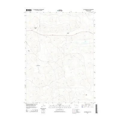 2014 Lightning Valley2014 Print · USGSArthur County ranching country is mapped here in the early twenty-first century, showing the isolated homesteads and sandhill valleys of western Nebraska. Genealogists and local historians can locate specific family-held sites like Rounds Place and Lyons Place near the waters of Duck Lake.
 - 2017 Map of Lightning Valley, 2017 Print
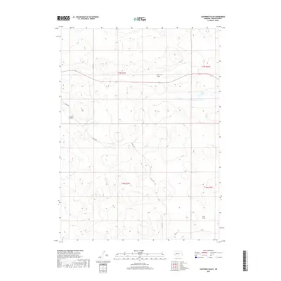 2017 Lightning Valley2017 Print · USGSArthur County ranchland is captured here in the late twenty-tens, showing the isolated valleys and trails of the Nebraska Sandhills. Researchers can trace remote property access via Enfield Rd and Triangle Rd or locate water sources like Duck Lake.
 - 2021 Map of Lightning Valley, 2021 Print
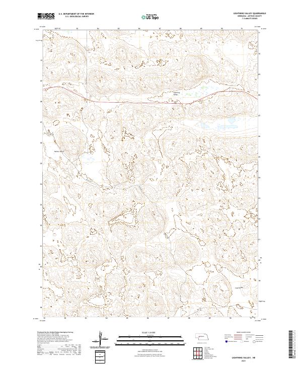 2021 Lightning Valley2021 Print · USGSArthur County ranching country is captured here in the 2020s, showing the remote valleys and tracks of the Nebraska Sandhills. Researchers can trace land use and geography across Lightning Valley, find seasonal water at Duck Lake, and follow local routes like Enfield Rd.
End of results
Showing maps 1-12 of 12
Top cities near Rounds Place
Frequently asked questions
- What are the different types of historical maps available for Rounds Place?
- What is the oldest map of Rounds Place?
- Where can I purchase historical maps of Rounds Place for my home or office?
- Where can I download high-res historical maps of Rounds Place?
- Are there historical topographic maps available for Rounds Place?
- Is there historical aerial imagery available for Rounds Place?
- Where are historical maps of Rounds Place sourced from?