Old Maps of Blaine County, Nebraska
Explore 147 old maps of Blaine County, spanning from 1948 to today. These high-resolution historic maps reveal how streets, neighborhoods, landmarks, and natural features evolved over time — perfect for genealogy, metal detecting, research, and local history exploration.
What you can do with these maps:
- See how Blaine County changed over time: Compare historical maps to modern-day views to trace roads, homesites, rail lines & more.
- View detailed metadata: Each map includes creators, publishers, year, scale, and archive source.
- Overlay maps with satellite & LiDAR: Visualize the past alongside modern tools to explore terrain & human change.
- Trusted historical sources: Maps sourced from the USGS, Library of Congress, and other archives.
- Access maps your way: View online, download high-res files, or order prints for personal or research use.
Start exploring old maps of Blaine County to uncover forgotten places, hidden landmarks, and the deep history beneath your feet.
Blaine County, NE maps
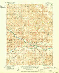
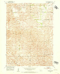
(147)- 1948 Map of Linscott, 1970 Print
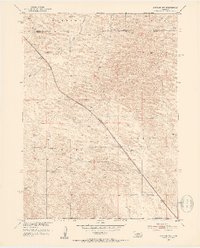
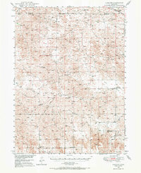 1948 Linscott1970 Print · USGSCuster County ranching communities were still defined by their local one-room schoolhouses in the late 1940s. Genealogists can trace family homesteads near landmarks like Linscott, Sand Valley Sch, and the remote Yucca Hill Sch.
 - 1948 Map of Halsey, 1973 Print
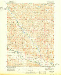
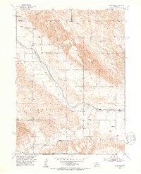
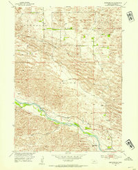
 1948 Halsey1973 Print · USGSThomas and Blaine counties appear in the late 1940s as a landscape of forest plantations and river valleys. Researchers can trace the ranching economy and forest infrastructure via Halsey, the Scott Lookout Tower, and the Rose Hill Sch.
 - 1949 Map of Purdum, 1967 Print
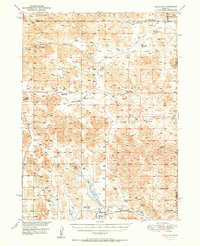
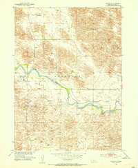
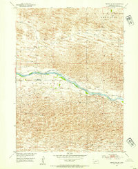
 1949 Purdum1967 Print · USGSThe Nebraska Sandhills come into focus in the late 1940s as a region of remote ranching outposts and high prairie rivers. Researchers can locate dozens of historic family lands like the McMullen Ranch and Atkinson Ranch, or trace the rural school system through West Purdum Sch and Compton Sch.
 - 1949 Map of Koshopah, 1976 Print
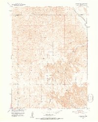
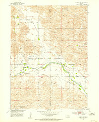
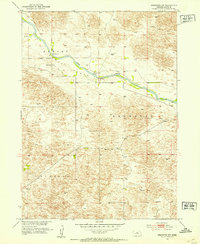
 1949 Koshopah1976 Print · USGSThe Nebraska Sandhills ranching country is captured here during the post-war era, showing the intersection of three counties. Genealogists can trace family holdings and local landmarks like White Ranch, Koshopah, and the many rural schools including Pixley Sch.
 - 1950 Map of Linscott
 1950 Linscott1950 Print · USGSThe Nebraska Sandhills come into focus in the late 1940s, showing a vast landscape of isolated school districts and rural post offices. Local historians can locate specific community centers like Climax Sch, Linscott, and the remote Eureka Valley Sch.2 unique versions available
 - 1950 Map of Halsey
 1950 Halsey1950 Print · USGSThe Nebraska Sandhills meet a massive man-made woodland in this mid-century survey of Thomas and Blaine counties. Researchers can trace the rail corridor of the Chicago Burlington and Quincy through Halsey, the Scott Lookout Tower, and the local Rose Hill Sch.2 unique versions available
 - 1951 Map of Dunning
 1951 Dunning1951 Print · USGSDunning and the surrounding Sandhills are captured in the early fifties, centered on the vital junction of the Middle Loup River and the railroad. Researchers can trace rural education and ranching life through sites like Mizpah Sch and Wild Horse Sch or the Nebraska National Forest boundary.2 unique versions available
 - 1951 Map of Purdum
 1951 Purdum1951 Print · USGSThe Nebraska Sandhills in the early fifties come alive on this map of cattle country along the North Loup River. Family history and local landmarks abound, from the village of Purdum to the Walking Circle Ranch and rural anchors like Cascade Sch.
 - 1951 Map of Koshopah
 1951 Koshopah1951 Print · USGSMid-century ranching life in Brown, Cherry, and Blaine Counties is documented here just after the war. Researchers can locate numerous family holdings and rural schoolhouses like Pixley Sch, Giles Cem, and O Teaford Ranch.
 - 1951 Map of Hoagland
 1951 Hoagland1951 Print · USGSThe Logan County Sandhills come into focus mid-century, showing a landscape defined by the South Loup River and large family cattle operations. Genealogists and historians can trace historic holdings like Johnson Ranch and Marr Ranch or locate the site of School No 30.2 unique versions available
 - 1951 Map of Anselmo NE, 1953 Print
 1951 Anselmo NE1953 Print · USGSCuster and Blaine Counties come together along the Middle Loup River in this early 1950s survey. Genealogists and local historians can locate rural landmarks like Victoria Springs Cemetery and several country schools, including Happy Hollow Sch and Cooperville Sch.3 unique versions available
 - 1951 Map of Anselmo NW, 1953 Print
 1951 Anselmo NW1953 Print · USGSThe Nebraska Sandhills come into focus in the early 1950s as the rail line connects remote agricultural townships. Genealogists and historians can trace the precise locations of rural schoolhouses like Hoosier Valley Sch and Grand View Sch along the Chicago Burlington and Quincy tracks.2 unique versions available
 - 1951 Map of Milburn, 1953 Print
 1951 Milburn1953 Print · USGSCuster County life in the early 1950s is centered here on the Middle Loup River and its rugged canyon breaks. Genealogists and local historians can trace rural schoolhouse locations like Columbia Table Sch and the community of Gates.3 unique versions available
 - 1952 Map of Brewster, 1954 Print
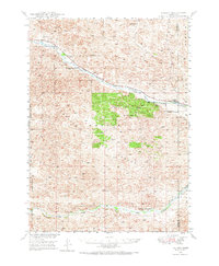
 1952 Brewster1954 Print · USGSBlaine County ranching life is preserved here during the early fifties along the North Loup River. Researchers can locate family landmarks such as Burke Ranch, the Brewster Cem, and the small settlement of Edith.3 unique versions available
 - 1952 Map of Almeria NW, 1954 Print
 1952 Almeria NW1954 Print · USGSThe Nebraska Sandhills come alive in the early 1950s as ranchers and farmers managed the waters of the North Loup River. Trace family footprints through local landmarks like Pleasant Valley Sch, Peterson Ranch, and the Church of God.4 unique versions available
 - 1952 Map of Almeria SW, 1954 Print
 1952 Almeria SW1954 Print · USGSThe Nebraska Sandhills come into sharp focus in the early fifties, showing a landscape of dunes and isolated ranching districts. Genealogists and historians can trace the rural layout of Brewster and Sawyer or locate the Dry Valley Sch.
 - 1952 Map of Brewster SE, 1954 Print
 1952 Brewster SE1954 Print · USGSThe ranching country of Blaine County is captured here in the early fifties, documenting a landscape shaped by the Middle Loup River. Researchers can trace old family holdings like the Fowler Ranch and locate the site of School No 61.3 unique versions available
 - 1952 Map of Brewster SW, 1954 Print
 1952 Brewster SW1954 Print · USGSBlaine County's Sandhills landscape is captured here in the early fifties as the Middle Loup River flows through a network of distinct prairie valleys. Researchers can trace the legacy of rural infrastructure at Laughran Bridge and the site of School No 21.3 unique versions available
 - 1952 Map of Brewster NW, 1954 Print
 1952 Brewster NW1954 Print · USGSBlaine County ranching country is shown here in the early fifties as the Missouri River Basin development program documented the Sandhills. Researchers can locate remote rural infrastructure like School No 3, the Pitt Bridge, and the meadows of Hawley Flats.3 unique versions available
 - 1954 Map of North Platte, 1968 Print
 1954 North Platte1968 Print · USGSThe Nebraska Sand Hills and the Platte River valley are captured here during a period of mid-century growth and agricultural expansion. Trace the vast irrigation network of the Sutherland Canal, locate old rural schoolhouses like Rose Hill School, and find family holdings such as Conrey Ranch.3 unique versions available
 - 1955 Map of Broken Bow
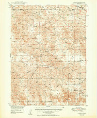
 1955 Broken Bow1955 Print · USGSCentral Nebraska in the mid-fifties is defined by the sweeping Sand Hills and the vital river valleys that supported its ranching and rail towns. Researchers can trace the rail corridors of the Union Pacific RR and locate settlements like Dannebrog, Broken Bow, and Brewster.5 unique versions available
 - 1955 Map of O'Neill, 1974 Print
 1955 O'Neill1974 Print · USGSNorth-central Nebraska in the 1950s reveals a vast cattle-ranching landscape transitioning from the Missouri River breaks to the iconic Sand Hills. Researchers can trace the path of the Chicago and North Western rail line and locate rural landmarks like the Dustin Post Office and St Johns Lake Ch.2 unique versions available
 - 1956 Map of Broken Bow
 1956 Broken Bow1956 Print · USGSCentral Nebraska during the mid-fifties reveals a region defined by its river-valley railroads and the rolling Sand Hills. Genealogists and local historians can trace the paths of the Chicago Burlington and Quincy through towns like Broken Bow, Merna, and Anselmo.
 - 1956 Map of North Platte
 1956 North Platte1956 Print · USGSThe Nebraska Sand Hills meet the high plains river valleys in the mid-1950s, a period of intensive water management and rail commerce. Genealogists and historians can trace early prairie settlements like Stapleton and Tryon, or follow the industrial corridor of the Union Pacific through North Platte.
 - 1957 Map of North Platte
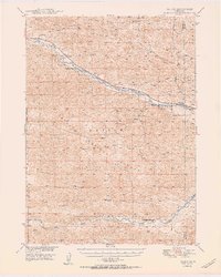
 1957 North Platte1957 Print · USGSThe Nebraska Sand Hills and the Platte River valley are captured here in the mid-fifties as the ranching and irrigation economy matured. Genealogists and historians can locate family-named schoolhouses like Maire School or trace the railroad hubs at North Platte and the Fort McPherson National Cemetery.
Showing maps 1-25 of 147
Top cities of Blaine County
Frequently asked questions
- What are the different types of historical maps available for Blaine County?
- What is the oldest map of Blaine County?
- Where can I purchase historical maps of Blaine County for my home or office?
- Where can I download high-res historical maps of Blaine County?
- Are there historical topographic maps available for Blaine County?
- Is there historical aerial imagery available for Blaine County?
- Where are historical maps of Blaine County sourced from?