2000s (21st Century) Maps of Blaine County, Nebraska
Explore 96 historic maps of Blaine County from the 2000s (21st Century). These maps offer a rare glimpse into what life looked like during the 2000s — showing old roads, neighborhoods, homes, and landmarks that have changed or disappeared over time.
Whether you're researching your family's past, planning a metal detecting trip, or studying how Blaine County's landscape evolved across the 2000s, these high-resolution maps are a powerful tool for exploring the history of this region.
- Focus on a specific era: All maps on this page are from the 2000s, giving you a focused view of this time period.
- See what’s changed: Compare century-old streets, trails, and buildings to today's modern landscape using overlays and satellite layers.
- Research with precision: Use these maps for genealogy, historical research, land use analysis, or educational projects.
- View, download, or print: Maps are fully viewable online in high resolution, and can be downloaded or printed for your own records.
Start exploring Blaine County's history through authentic maps from the 2000s. This is your window into the past.
Blaine County, NE maps
(96)- 2011 Map of Brewster, 2011 Print
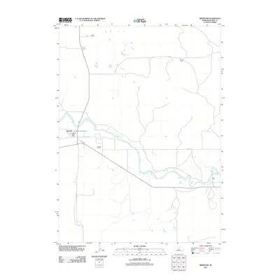 2011 Brewster2011 Print · USGSBrewster and the surrounding Blaine County cattle country are captured here as they appeared in the early twenty-first century. Researchers can trace the legacy of local ranching through family landmarks like Burke Ranch or locate ancestors at the Brewster Cemetery.
 - 2011 Map of Almeria SW, 2011 Print
 2011 Almeria SW2011 Print · USGSLoup County ranchlands are captured here at the start of the 2010s, showing a remote landscape of sandhills and rural roads. Traces of local aviation and transportation are visible at McMillan Ranch Airport and along Knobby Ridge Rd.
 - 2011 Map of Milburn, 2011 Print
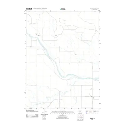 2011 Milburn2011 Print · USGSCuster County settlement patterns are preserved here at the start of the decade, centered on the Middle Loup River valley. Genealogists and local historians can trace the rural hubs of Milburn and Gates, including the Gates Cemetery and local post offices.
 - 2011 Map of Almeria NW, 2011 Print
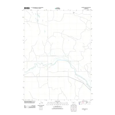 2011 Almeria NW2011 Print · USGSLoup County ranching country is shown here in the early twenty-first century as the cattle-ranching tradition continues along the river. Researchers can trace land boundaries and local transit routes such as Pleasant Valley Rd and the Peterson Ranch along the North Loup River.
 - 2011 Map of Anselmo NE, 2011 Print
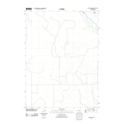 2011 Anselmo NE2011 Print · USGSCuster County in the early 2000s shows a landscape shaped by water management and ranching. Researchers can trace the path of the Middle Loup River and locate local landmarks like the McMillan Ranch and Milburn Diversion Dam.
 - 2011 Map of Brewster SE, 2011 Print
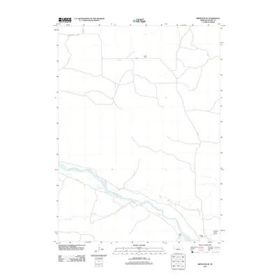 2011 Brewster SE2011 Print · USGSBlaine County ranchlands are documented here in the early 2010s, showcasing the intersection of the river valley and the cattle industry. Researchers can trace land use along the Middle Loup River and locate family landmarks like Fowler Ranch and the McMillan Ranch Airport.
 - 2011 Map of Brewster SW, 2011 Print
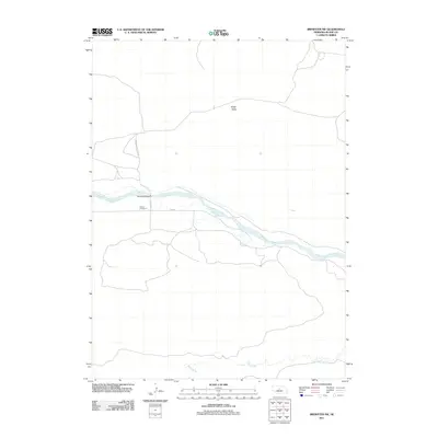 2011 Brewster SW2011 Print · USGSBlaine County's Sandhills landscape is captured here in the early 21st century, centered on the winding Middle Loup River. Researchers can locate rural landmarks like Loughran Bridge, School Number 21, and the wide expanse of Edith Valley.
 - 2011 Map of Anselmo NW, 2011 Print
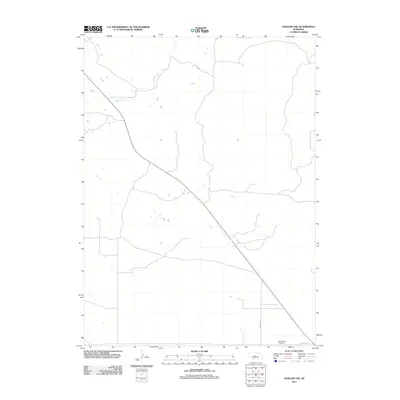 2011 Anselmo NW2011 Print · USGSCuster County, Nebraska, is shown in the early twenty-first century as a quiet agricultural region defined by its sections and watercourses. Researchers can locate family landmarks like Grand View Cemetery and trace the path of Rifle Creek.
 - 2011 Map of Brewster NW, 2011 Print
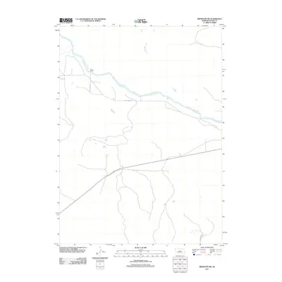 2011 Brewster NW2011 Print · USGSBlaine County ranchlands are captured here during the early twenty-first century, showing the sparse infrastructure of the Nebraska Sandhills. You can trace the winding North Loup River and locate the historic crossing at Pitt Bridge along N Loup River Rd.
 - 2011 Map of Boiling Spring, 2011 Print
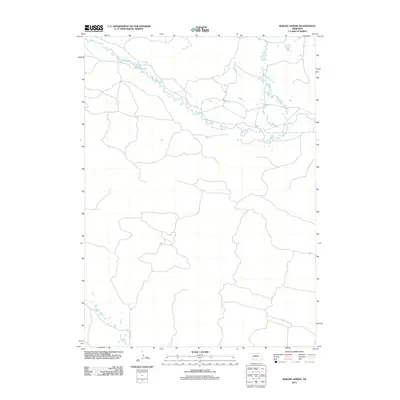 2011 Boiling Spring2011 Print · USGSThe braided valley of the Sandhills comes into focus in this early twenty-first-century survey of Loup County. Researchers can trace the winding course of the Calamus River and the rural route of Co Rd 2-24 as they navigate this sparsely settled landscape.
 - 2011 Map of Goldman Lake SE, 2011 Print
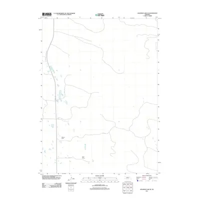 2011 Goldman Lake SE2011 Print · USGSBrown County's rural landscape is captured here in the early twenty-first century, showcasing the sparse settlement of the Nebraska Sandhills. Local historians and genealogists can locate the German Valley Cemetery and trace the early roads through German Valley.
 - 2011 Map of Goldman Lake, 2011 Print
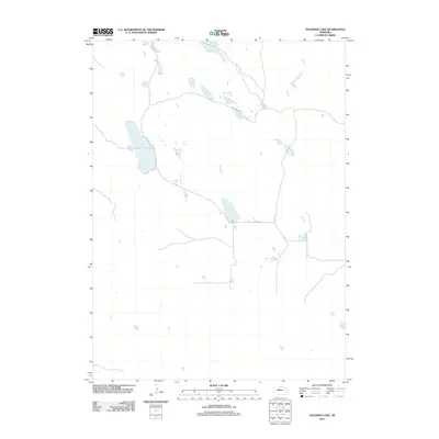 2011 Goldman Lake2011 Print · USGSBrown County's high plains landscape is captured in the early twenty-first century, showing the intricate network of basins and prairie roads. Genealogists and local historians can trace rural infrastructure like Co Rd 4-24 across this remote Nebraska terrain.
 - 2011 Map of Purdum, 2011 Print
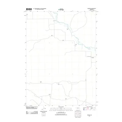 2011 Purdum2011 Print · USGSThe cattle country of Blaine County is captured here in the early twenty-first century, showcasing the ranching landscape around Purdum. Researchers can trace family landholdings and rural landmarks including the Purdum Post Office, Naber Ranch, and Rodocker Ranch.
 - 2011 Map of Koshopah SW, 2011 Print
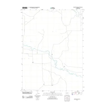 2011 Koshopah SW2011 Print · USGSCherry County ranching country is centered on the winding North Loup River in this early twenty-first-century survey. Genealogists and local historians can trace legacy holdings like the White Ranch, OTeaford Ranch, and Cook Ranch.
 - 2011 Map of Koshopah, 2011 Print
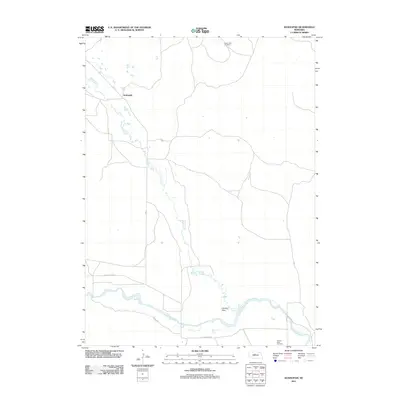 2011 Koshopah2011 Print · USGSThe Sandhills of Nebraska are documented here in the early twenty-first century, showing the remote ranching country of Brown County. Family historians can locate specific landmarks like Valley View Cemetery, the settlement of Koshopah, and the river landing at Hawley Flats.
 - 2011 Map of Dunning SW, 2011 Print
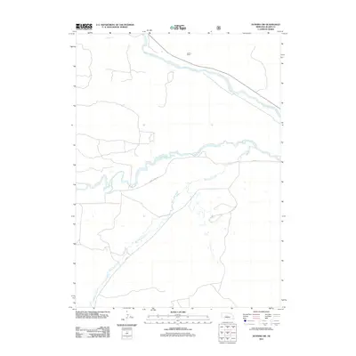 2011 Dunning SW2011 Print · USGSBlaine County ranching country is shown here in the early twenty-first century, centered on the convergence of major Sandhills waterways. Researchers can trace land use around Teahon Ranch and follow the paths of the Dismal River and Wild Horse Creek.
 - 2011 Map of Dunning NW, 2011 Print
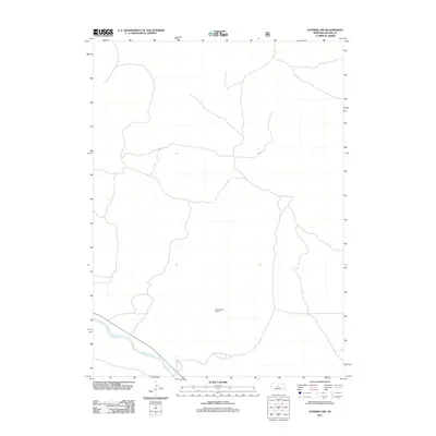 2011 Dunning NW2011 Print · USGSBlaine County's rangeland is captured here in the early twenty-first century, showcasing the sparse settlement patterns of the Nebraska Sandhills. Researchers can locate the Hardscrabble School and trace the path of the Middle Loup River.
 - 2011 Map of Linscott NW, 2011 Print
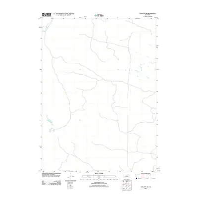 2011 Linscott NW2011 Print · USGSCuster County, Nebraska, is documented here in the early twenty-first century, showcasing a landscape defined by its rural routes and essential watercourses. Researchers can trace the path of Wild Horse Creek and locate corridors like CO RD 3 and the Arnold Dunning Oil road.
 - 2011 Map of Halsey SE, 2011 Print
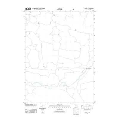 2011 Halsey SE2011 Print · USGSThomas County, Nebraska, is seen here in the early twenty-first century, centered on a quiet stretch of the Sandhills. You can trace the winding course of the Dismal River and locate remote recreational spots like the Whitetail Canoe Launch/Campground.
 - 2011 Map of Linscott, 2011 Print
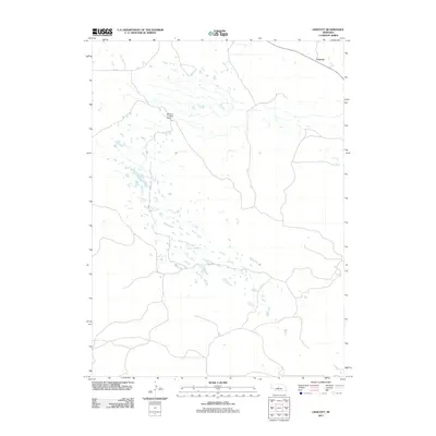 2011 Linscott2011 Print · USGSThe Nebraska Sandhills near Linscott appear as a sparsely populated cattle-country landscape during the early 2000s. Researchers can locate the McGinn Landing Strip and trace local ranch roads like CO RD-8 through this open plains terrain.
 - 2011 Map of Hoagland NE, 2011 Print
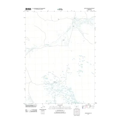 2011 Hoagland NE2011 Print · USGSLogan County ranching country at the start of the decade is defined by expansive wetlands and isolated family operations. Researchers can trace land use and homesteads like Wild Horse Creek Ranch, Schmidt Ranch, and the level terrain of Wild Horse Flats.
 - 2011 Map of Dunning, 2011 Print
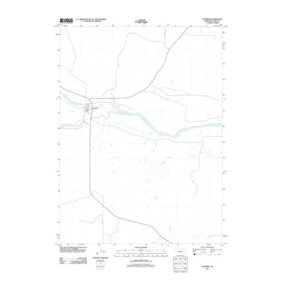 2011 Dunning2011 Print · USGSDunning sits at the strategic junction of two prairie waterways in the early twenty-first century. Genealogists and local historians can trace the town layout near the Dunning Post Office and the convergence of the Dismal River and Middle Loup River.
 - 2011 Map of Halsey, 2011 Print
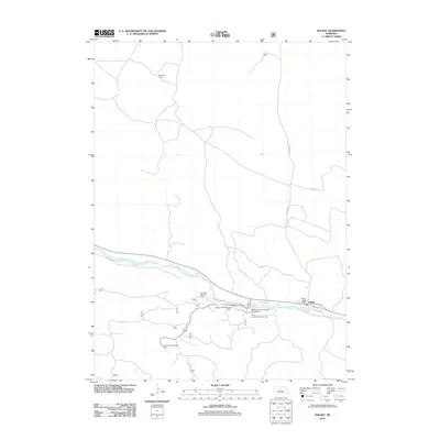 2011 Halsey2011 Print · USGSHalsey and the Middle Loup River valley are captured here in the early twenty-first century, showing a landscape defined by forest management and ranching. Researchers can locate the Halsey Post Office, the landmark Scott Lookout Tower, and the historic A L Ranch.
 - 2011 Map of Dunning NE, 2011 Print
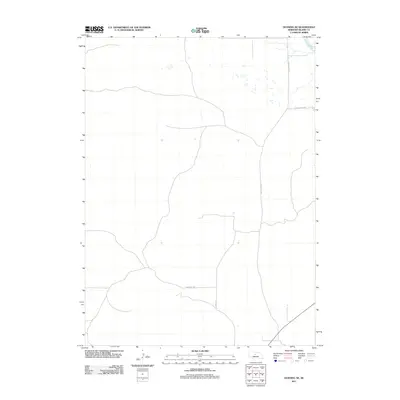 2011 Dunning NE2011 Print · USGSBlaine County's high plains are captured here in the early twenty-first century, showing the remote ranching country of the Nebraska Sandhills. Researchers can trace the path of the North Loup River and the rural network of Sandhills Dr and Holly Flats Rd.
 - 2014 Map of Anselmo NE, 2014 Print
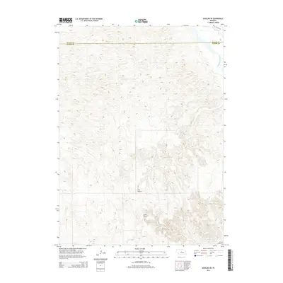 2014 Anselmo NE2014 Print · USGSCuster and Blaine Counties meet in this modern survey of the Nebraska Sandhills, where the Middle Loup River shapes the local geography. Researchers can locate the Victoria Springs Cem and trace the paths of River Canyon and Cedar Canyon.
Showing maps 1-25 of 96
Top cities of Blaine County
Frequently asked questions
- What are the different types of historical maps available for Blaine County?
- What is the oldest map of Blaine County?
- Where can I purchase historical maps of Blaine County for my home or office?
- Where can I download high-res historical maps of Blaine County?
- Are there historical topographic maps available for Blaine County?
- Is there historical aerial imagery available for Blaine County?
- Where are historical maps of Blaine County sourced from?